

Lately my car has been in the shop. That’s just as well, really, because my car is a nearly 26-year-old American muscle car with rear wheel drive. That means, it’s useless on snow and ice. I can usually get around without it, but when I need a car, I need a car. This time the brake lines gave out on me, so getting it fixed was a priority. Getting it back was not.

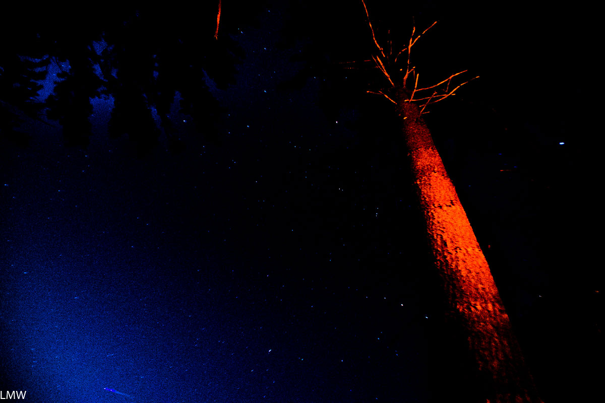
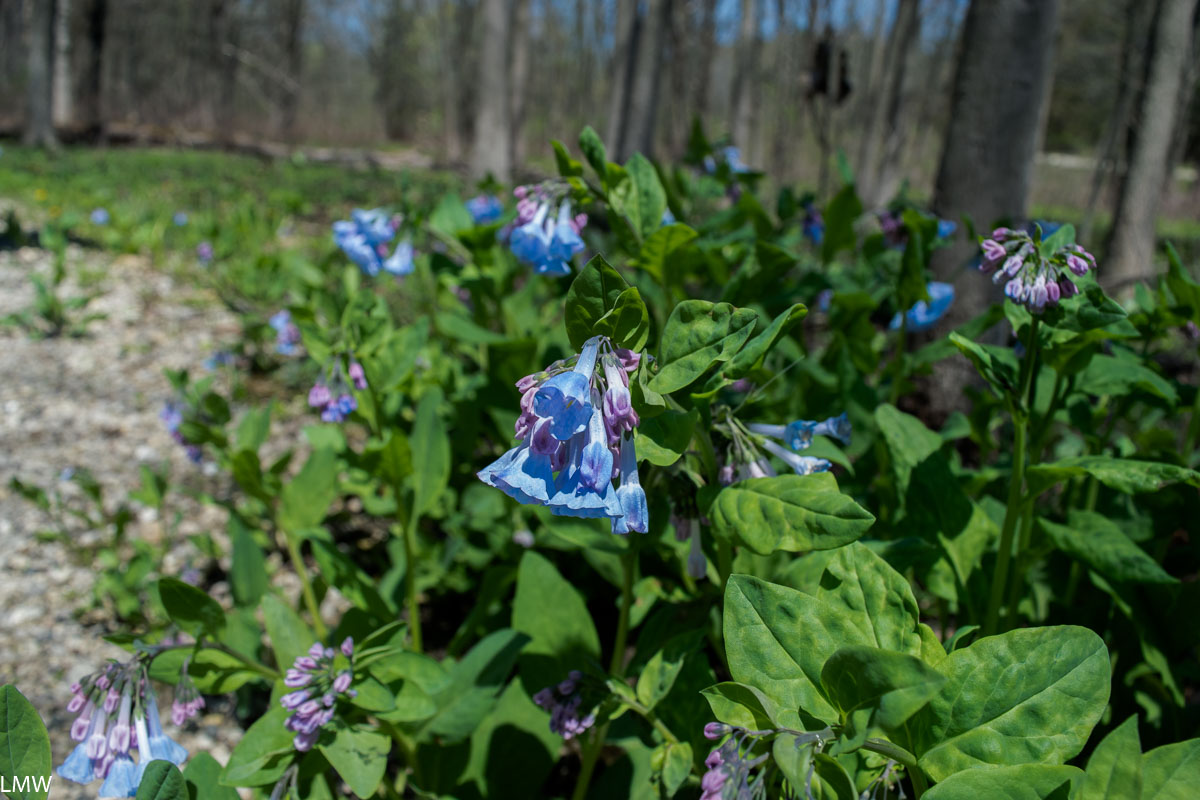
A few weeks ago, I wanted to get out and see the fall colors. I’m really glad I did because a week later a wind storm blew all the leaves off the trees and a week after that it was snowing. Fall was, like, three weeks long this year. Lame.

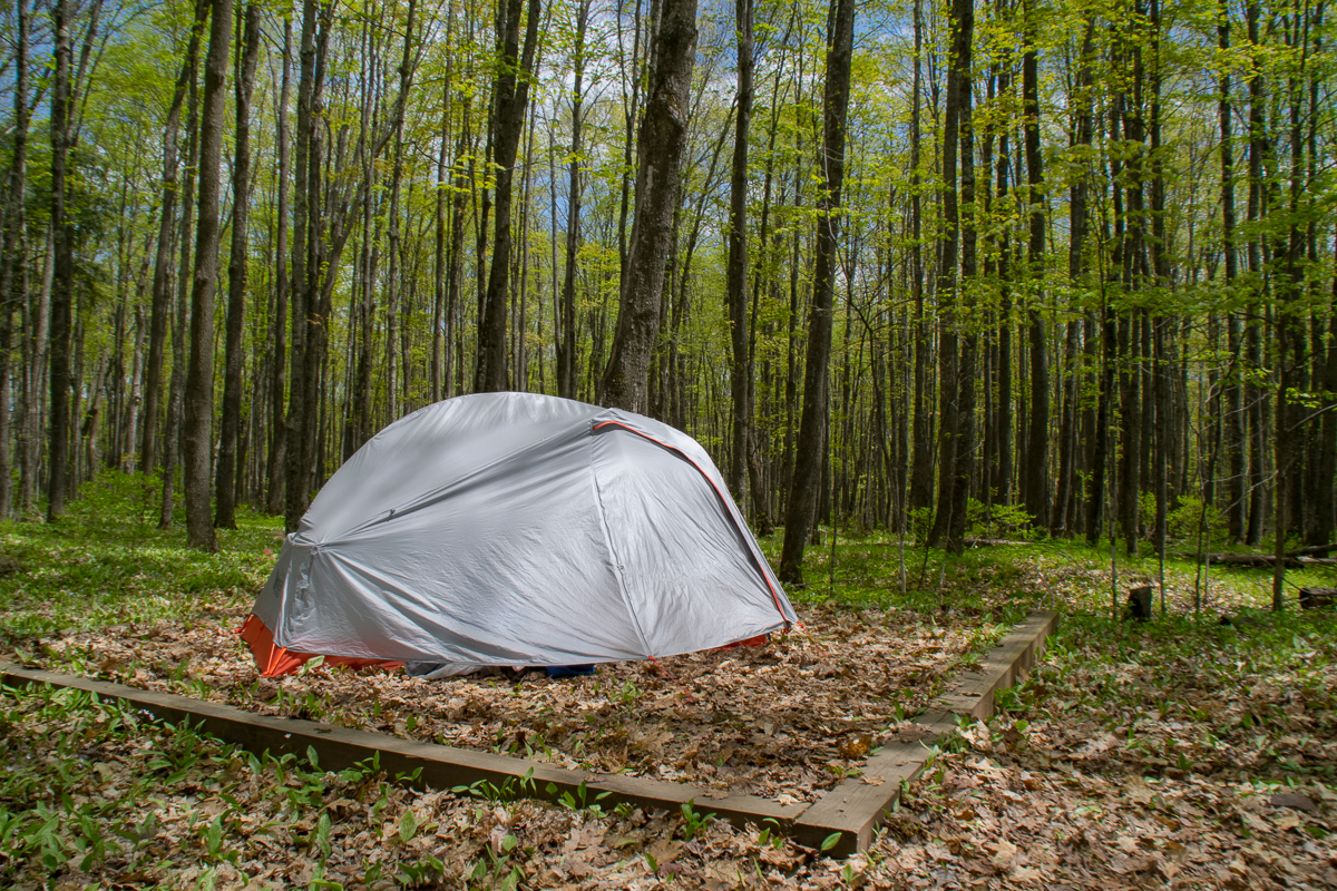
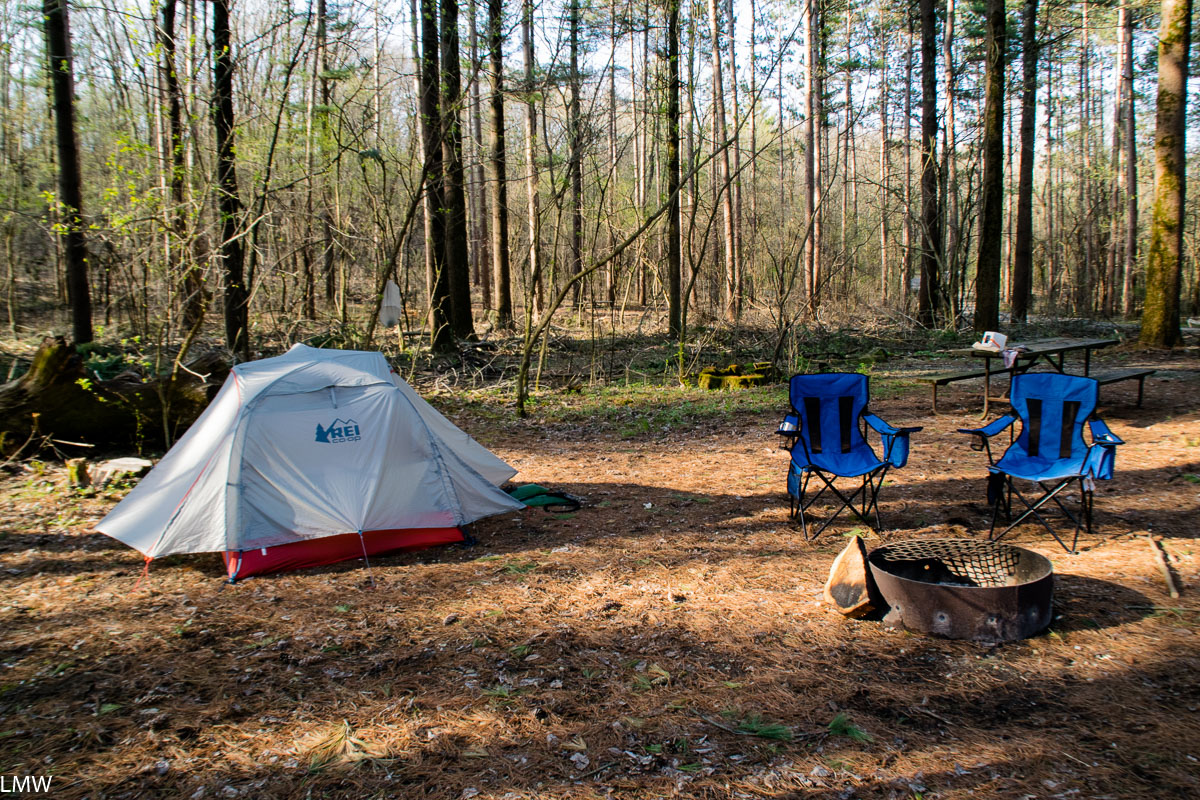
Since I didn’t want to fuss with my car, I took advantage of my neighborhood’s robust transit system and took the Up-Northwest Metra line to Crystal Lake. From there, it was a short 10-minute walk through a cute residential neighborhood leading directly to Veteran’s Woods and Sterne’s Woods & Fen.

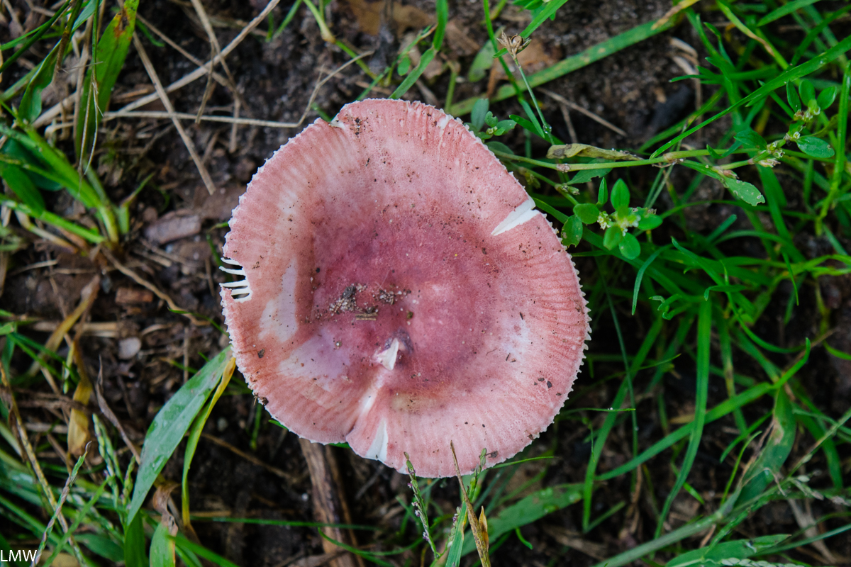
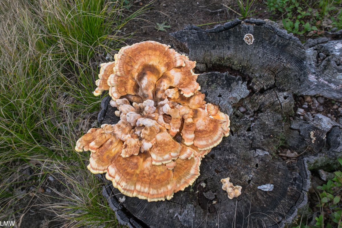
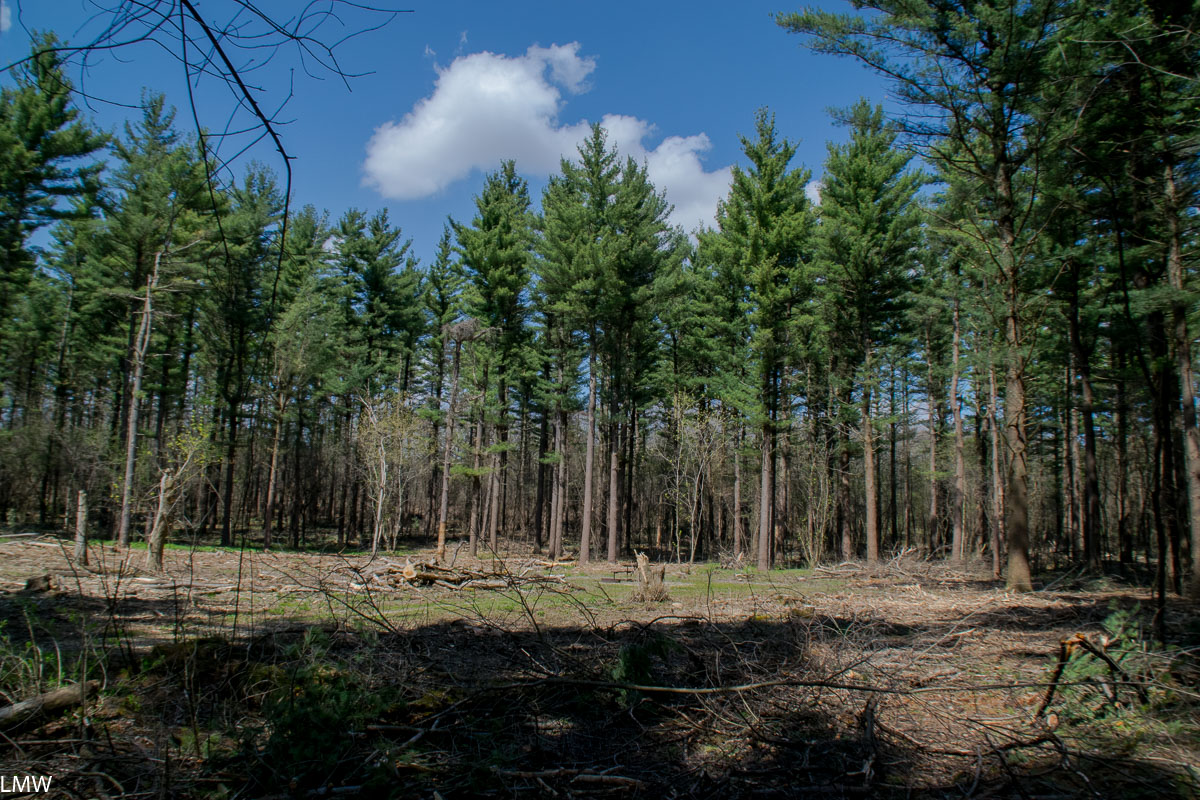
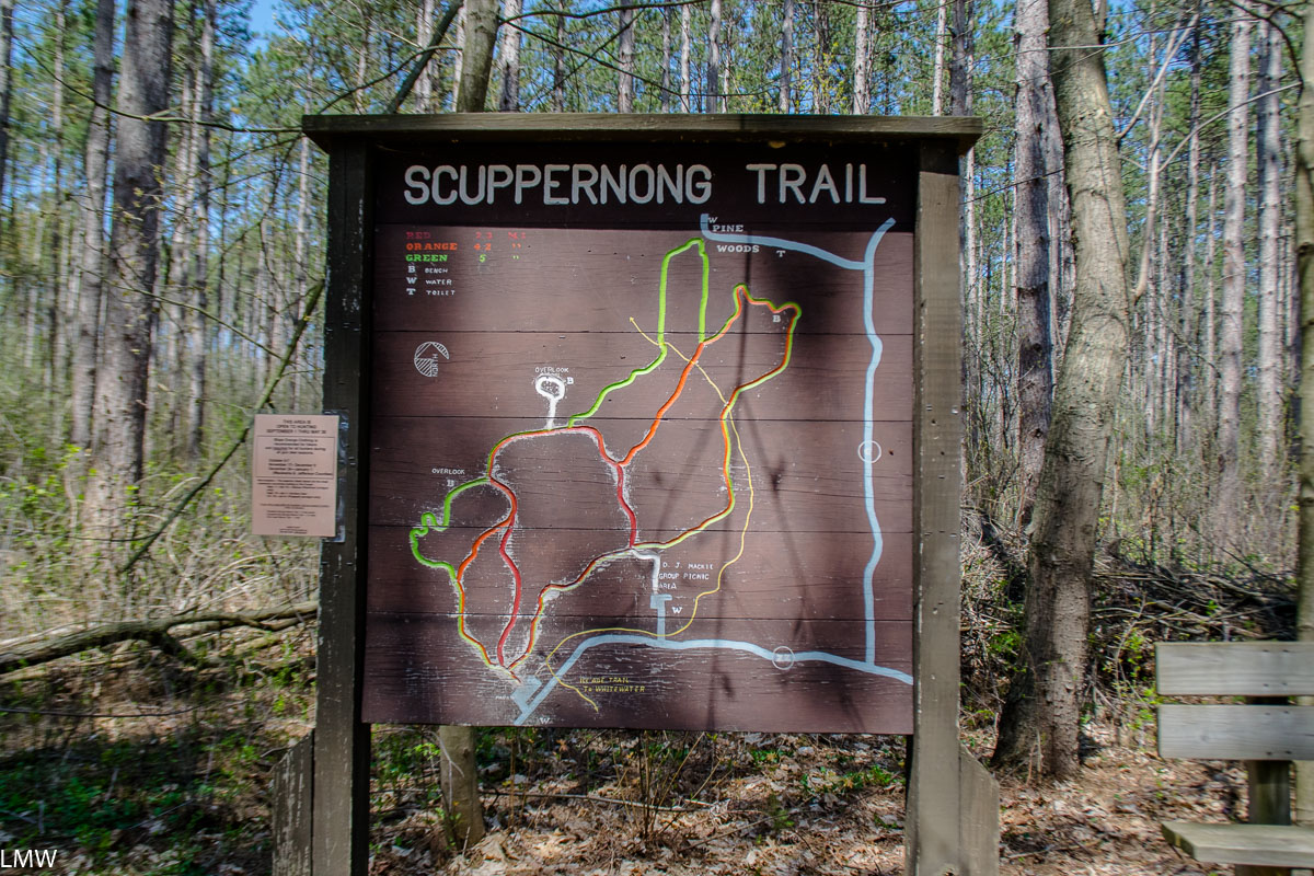
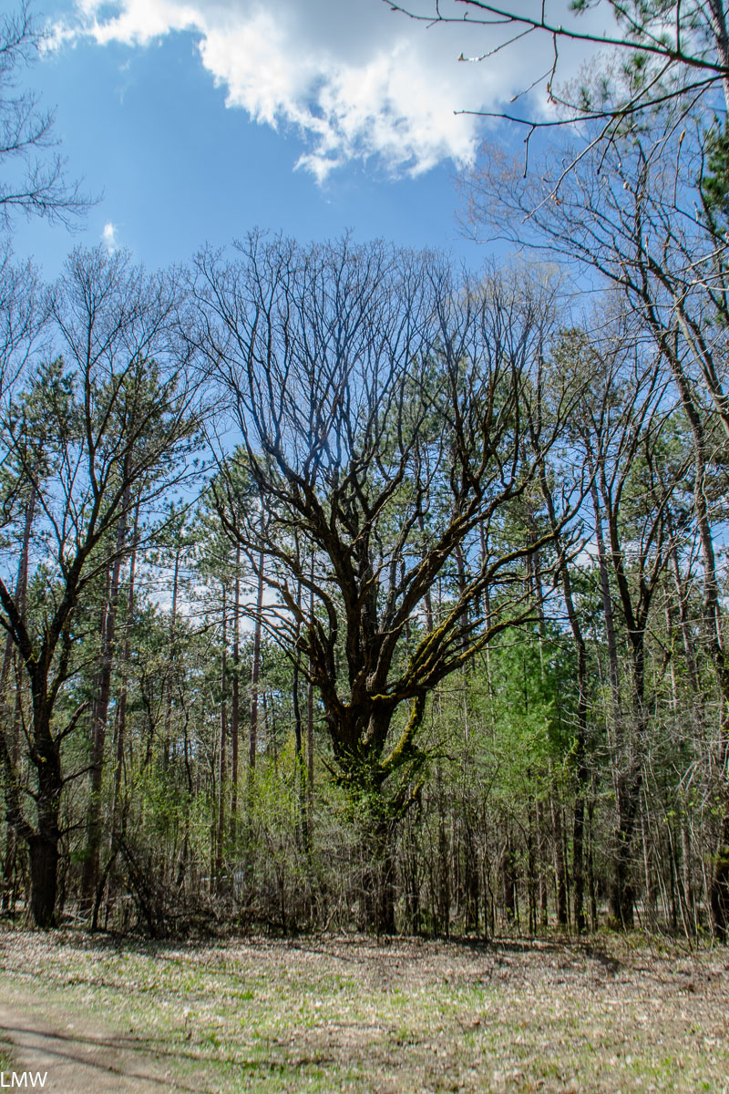
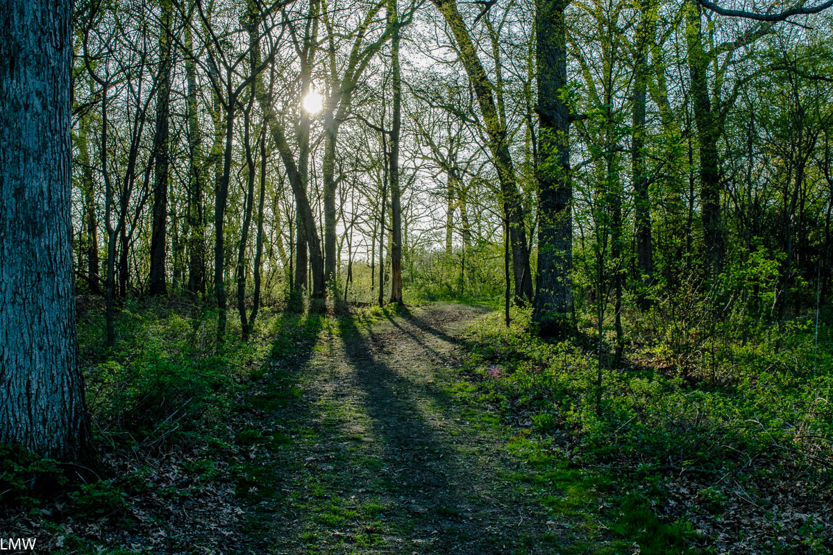
VW and SW&F features beautiful hikes through gently rolling hills, thick stands of oak, aspen and ash trees, low-lying wetlands with grasses that are taller than you, and a vibrant prairie filled with wildlife. The trailhead is directly next to the Crystal Lake District Nature Center, and a short 10-minute walk from the Crystal Lake Metra station.

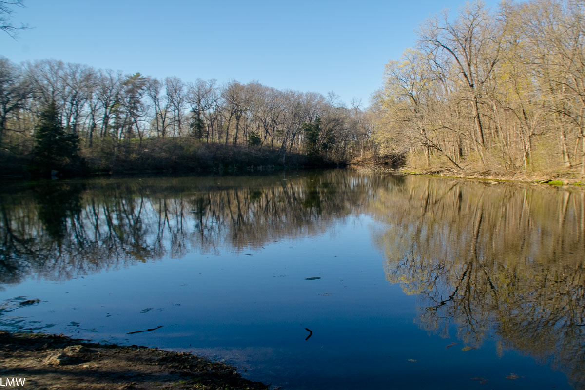
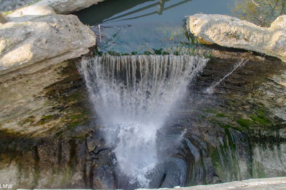
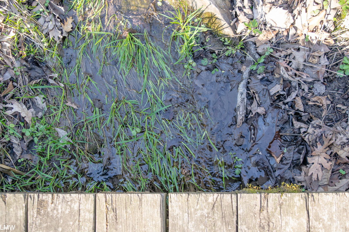
The Nature Center should be the first stop for any visitor to this park. Get a map, there are a lot of illegal, outdated or deer paths in this park (especially in the prairie) and it can be easy to go off the trail. Below the Nature Center is a pond, with a bridge path, and ancient willow trees, but it can get quite mushy if the water is high.

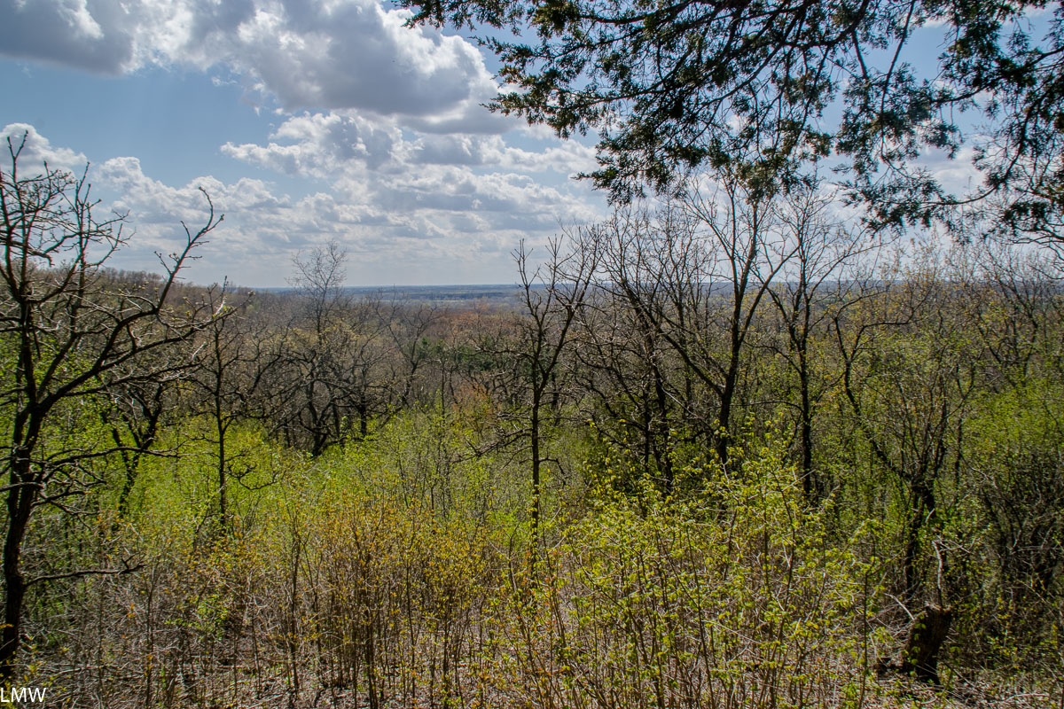
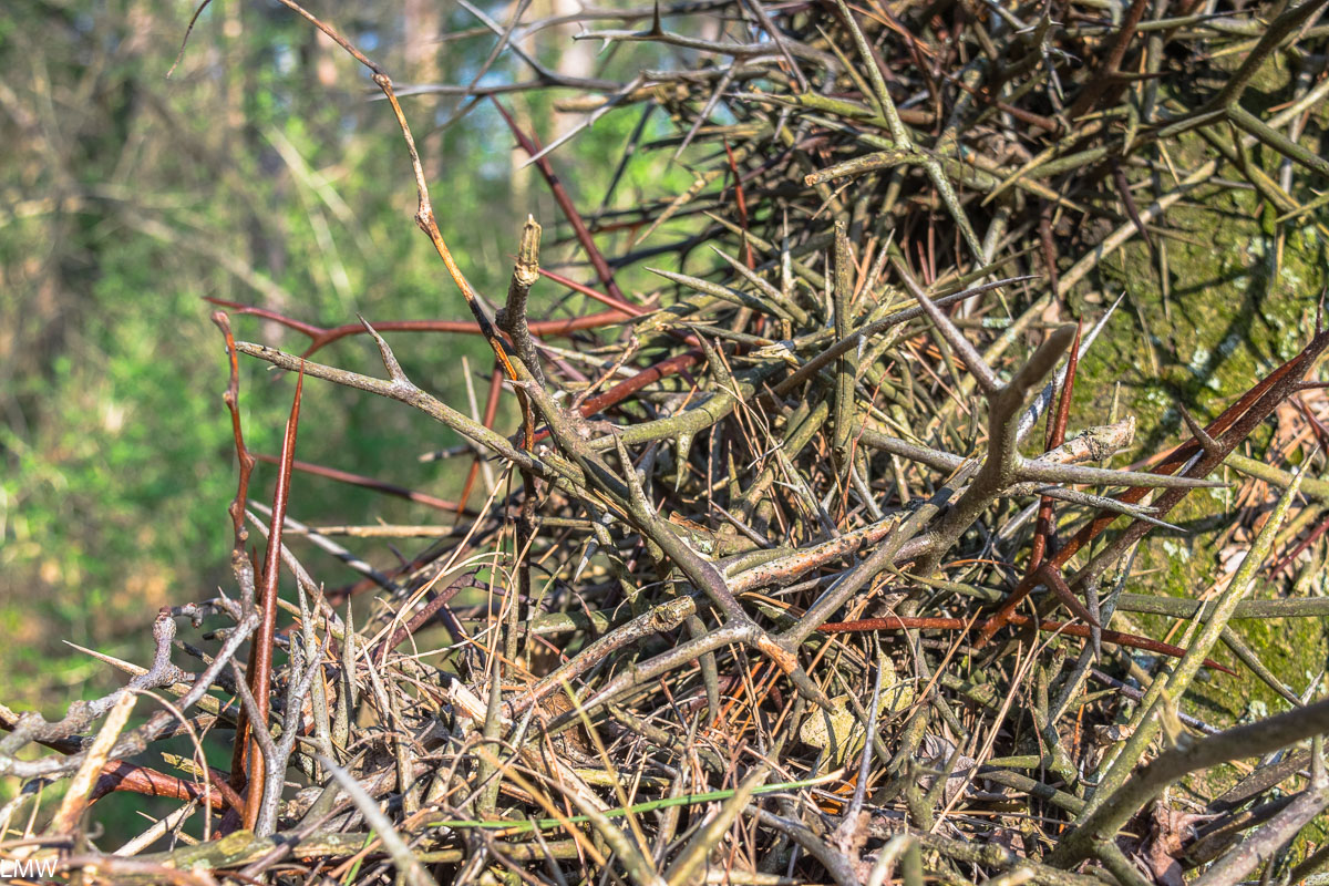
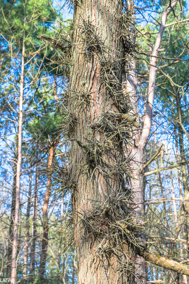
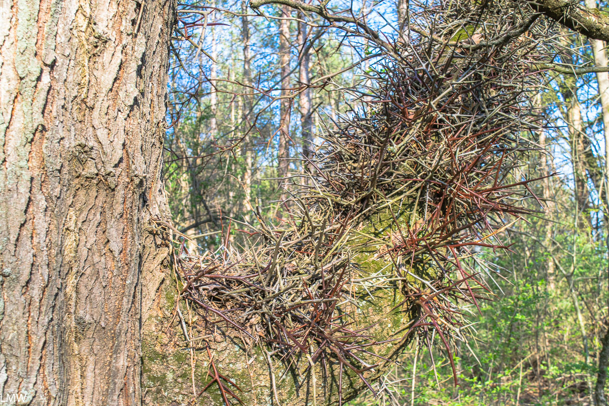
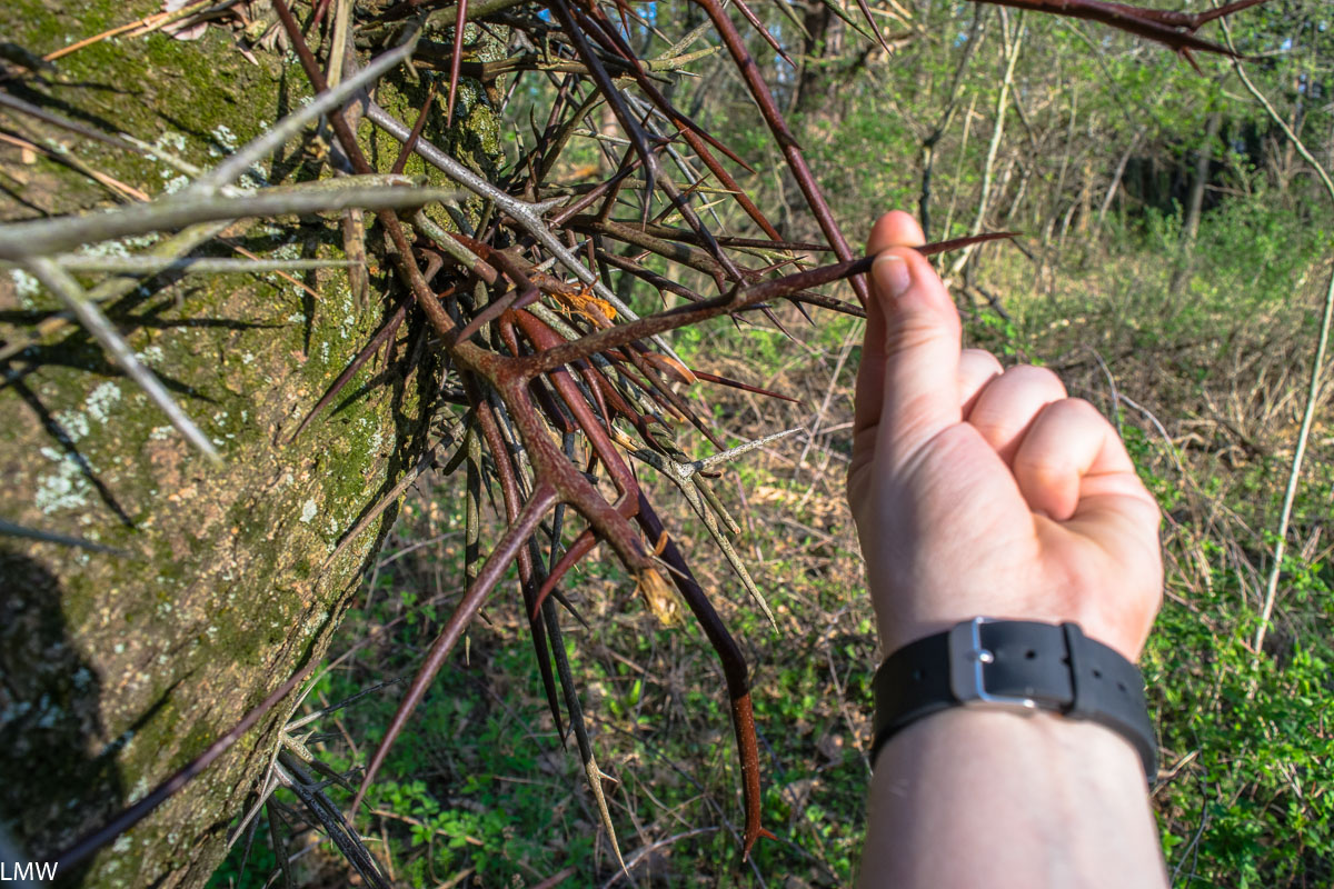
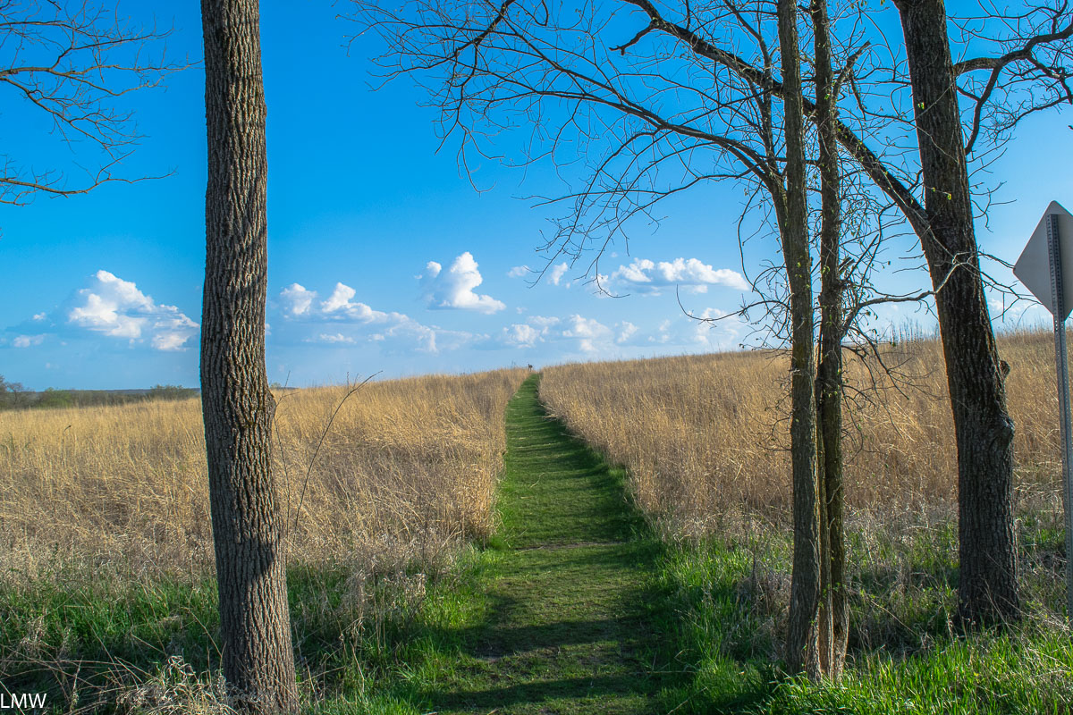
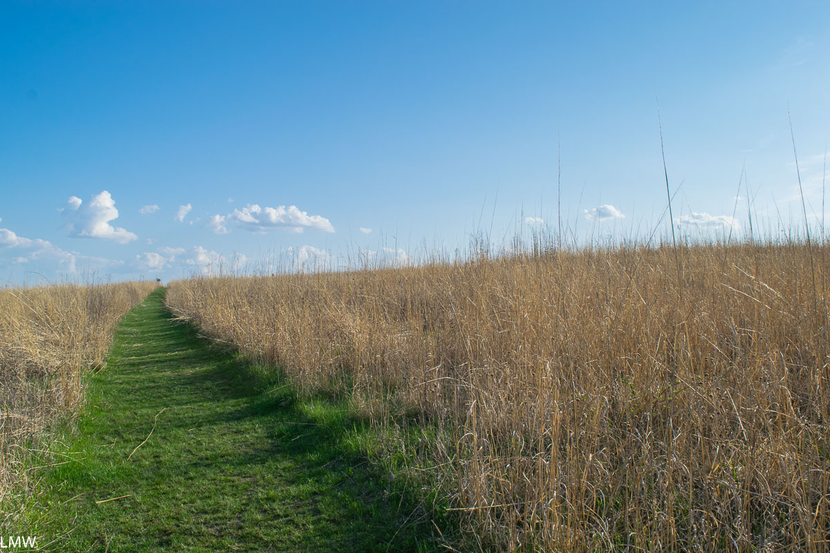
Veteran’s Acres is home to the Wingate Prairie, which is a designated Illinois State Nature Preserve. Visiting the Wingate Prairie gives a modern-day glimpse into what Illinois looked like before the 19th Century and the invention of the steel plow. A previous landowner tried to turn the area into a Christmas tree farm in the mid-20th Century, as a result a stand of pines juts oddly from the center of the prairie. The dense grasses native to the area are slowly reclaiming that land. Today, the prairie is home to protected species of butterflies and plants that can’t be found anywhere else on the planet.

Moving past Wingate Prairie and further into the park, you will encounter a row of power lines running over a wide ribbon of prairie. If you follow the path to the right, you can join up with the Des Plaines River Bike Path, which will net you access to 56 miles of trail north to Wisconsin. If you continue straight, underneath the power lines, you will come to Sterne’s Woods and Fen.

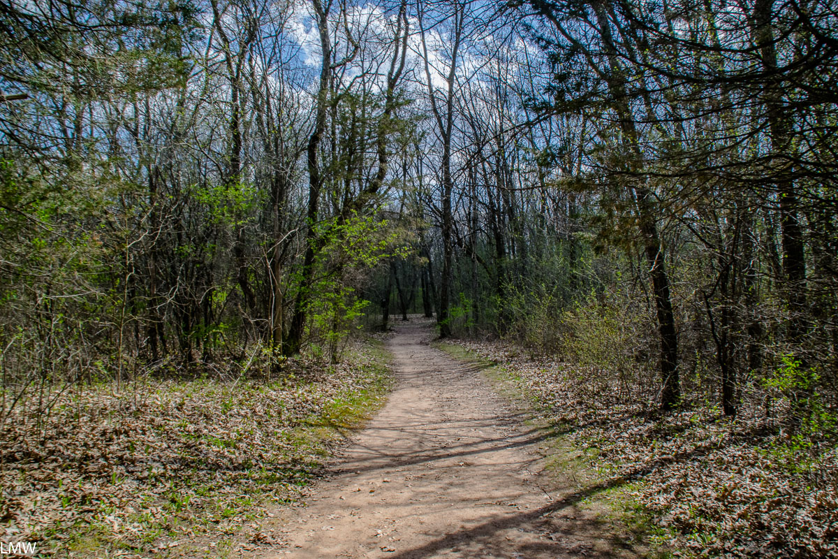
Sterne’s Woods is notably hillier than Veteran’s Acres. There is the steep slope of a moraine between the woods and the fen. If the idea of ending your hike with a steep, long, uphill hike that will have your hamstrings screaming sounds appealing to you, take a right and follow the path through the woods and gently slope down to the low-lying fen. As you return to the trailhead, you’ll come upon a quarter mile march up a steep incline. If that does not sound appealing to you, take a left and head down the hill first, letting gravity do the work for you. The trail is a loop, so if you go either left or right you will follow the same path and end back at this spot.

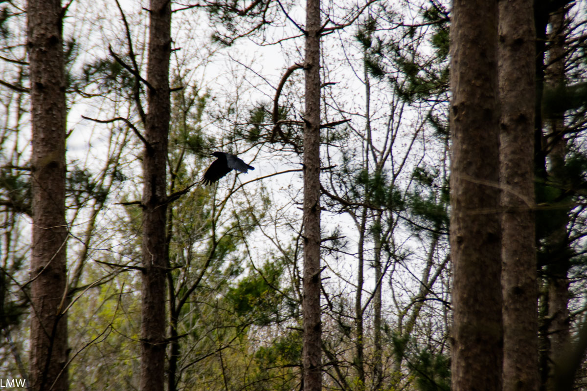
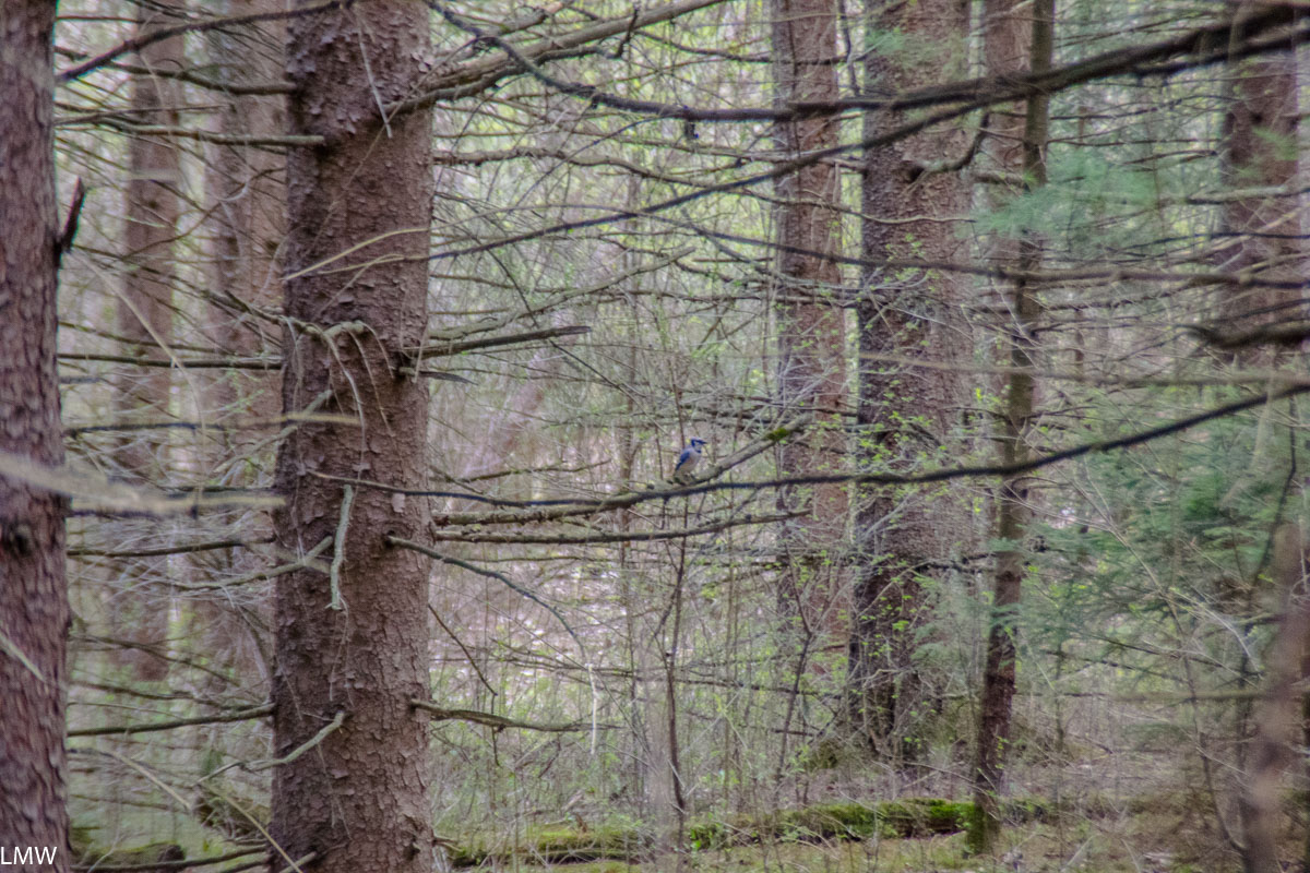
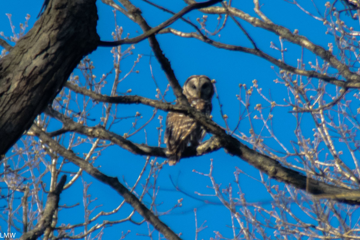
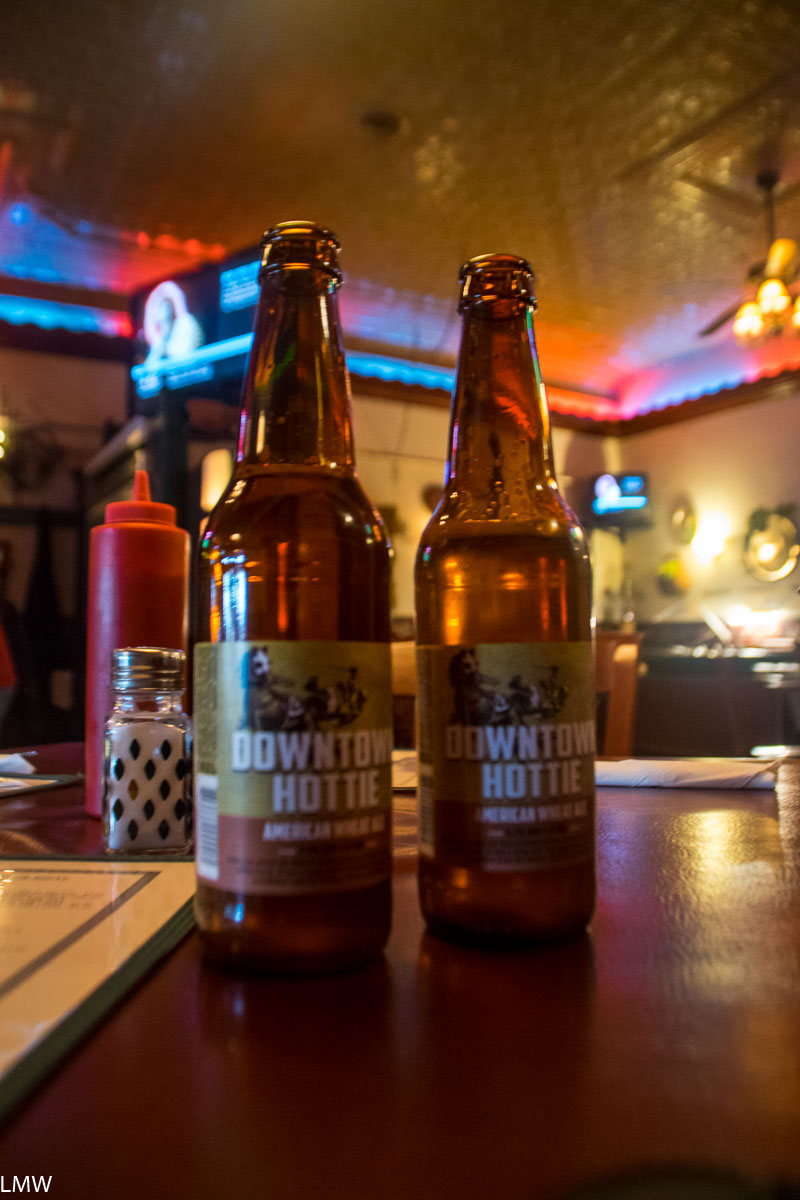
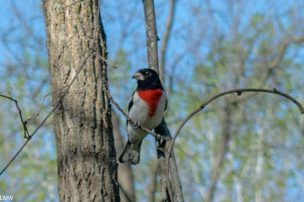
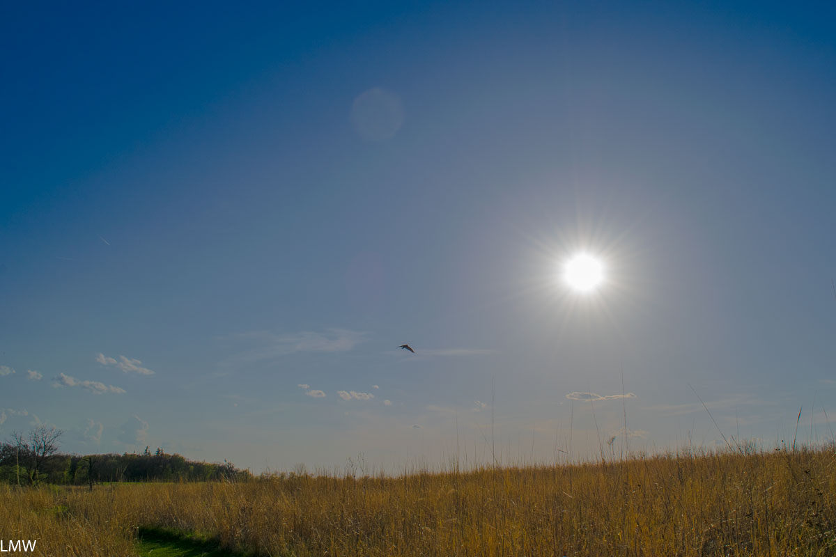
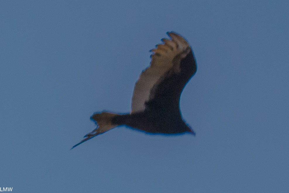
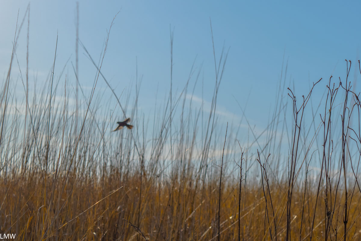
When you return, head back across the prairie in the direction of Veteran’s Acres. This time choose a different path than the one you came in on and take in a little more of the surrounding woods and prairie. The trails all converge back at the entrance to Wingate Prairie, which you passed on your way in. Visit during the late afternoon hours and you’ll probably get to see tons of birds feeding on the seeds found among the prairie grasses. When you’re ready to leave the park, exit via the trailhead near the visitor’s center, and return the way you came. There is no shortage of cafes, shops, breweries and restaurants in the blocks around the train station. Most days the train into Chicago runs about every hour, so it isn’t the worst thing in the world if you miss it. Remember that the train heading back into Chicago is on the opposite side of the tracks from where you got off, so make sure you are where you need to be when it arrives.


