
Name: Lowden State Park
Address: 1411 North River Road, Oregon, Illinois 61061
Size: 207 acres
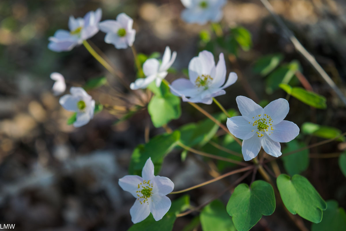
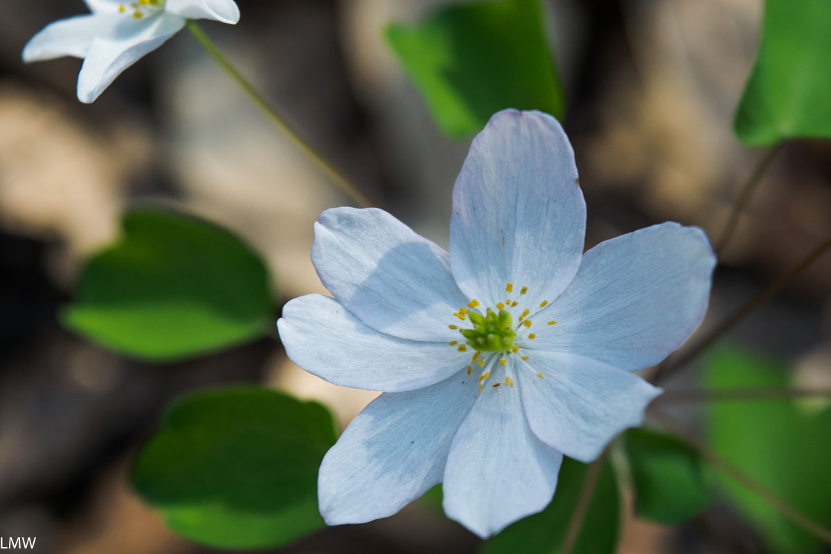
Activities: Boating, camping, canoeing, biking, birding, cross country skiing, fishing, hiking, hunting, metal detecting, statue-viewing, concessions
Reservations: Most campsites can be reserved through ReserveAmerica.com, but some are first-come first-served.
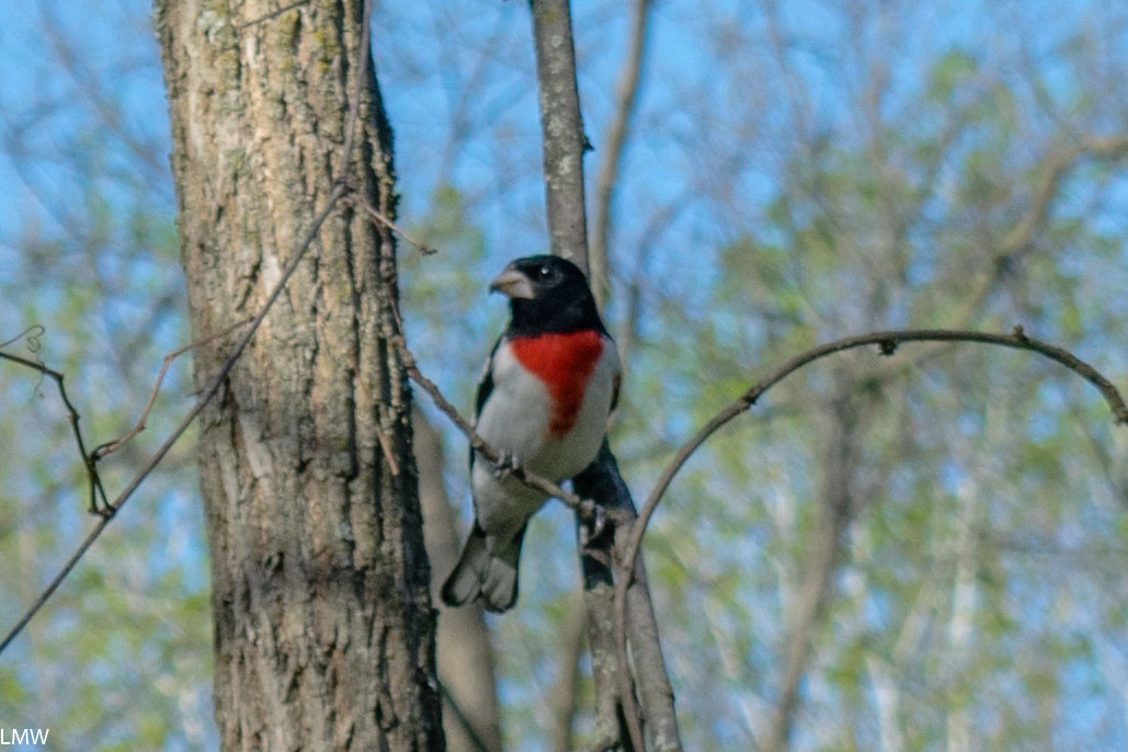
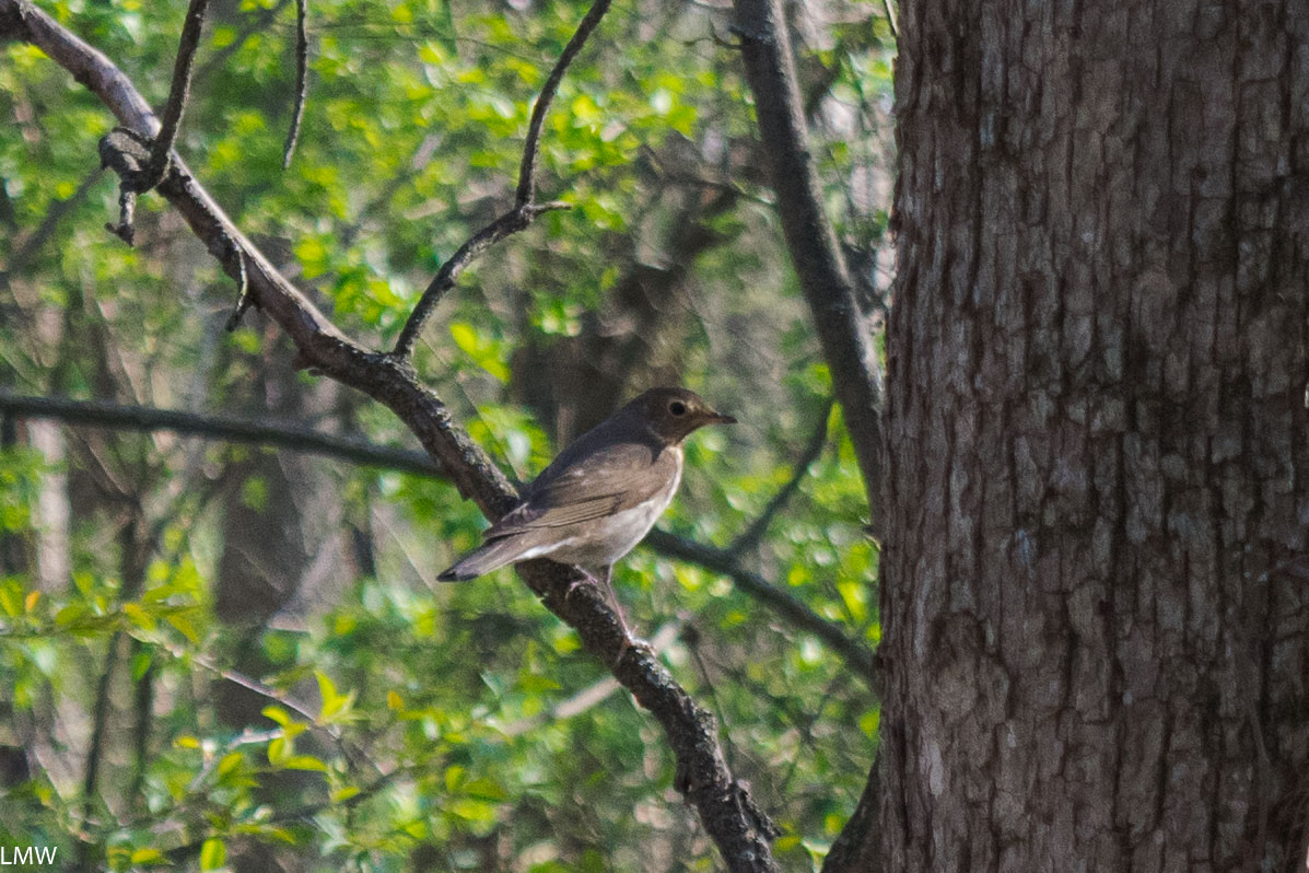
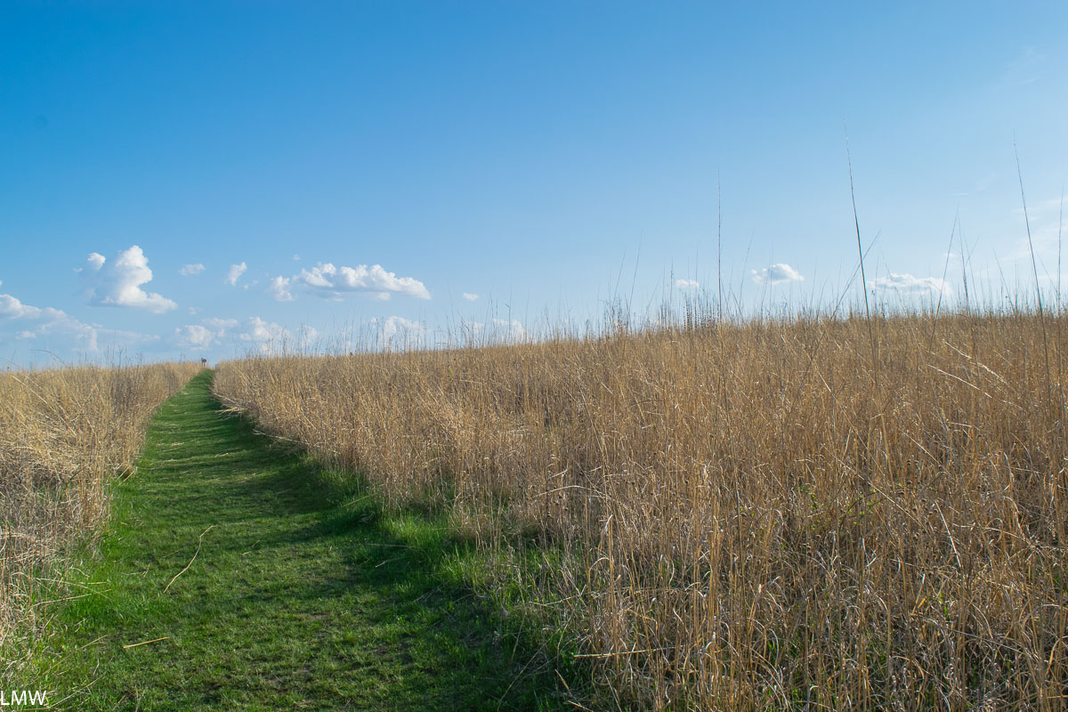
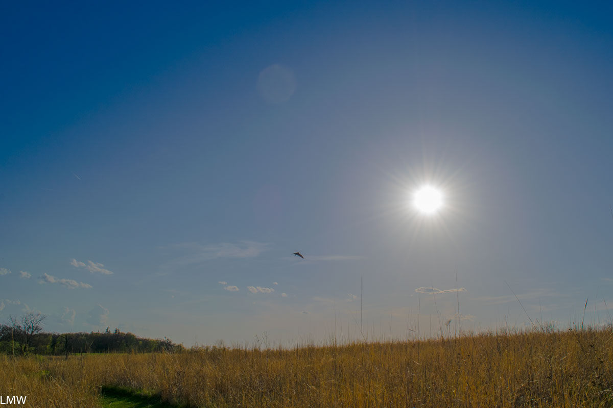
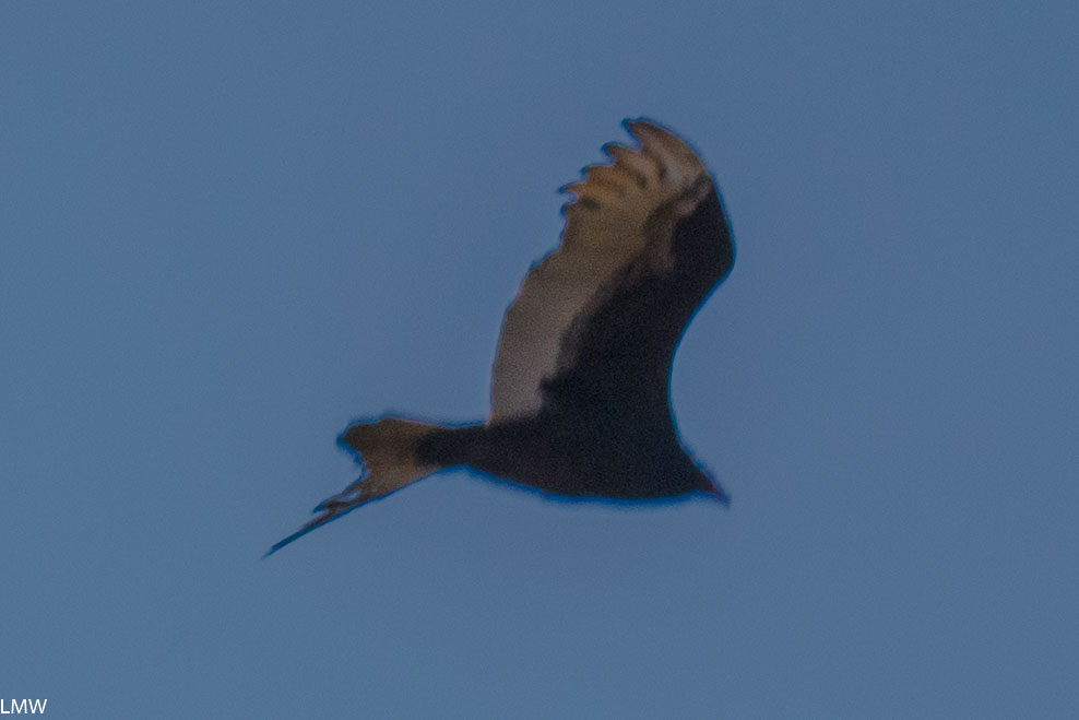
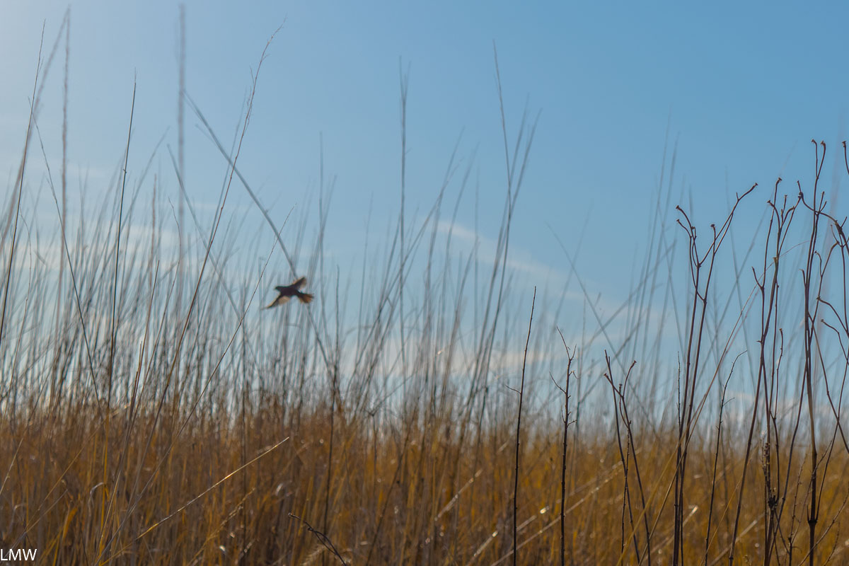
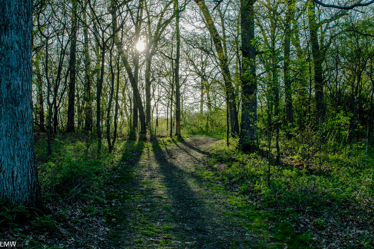
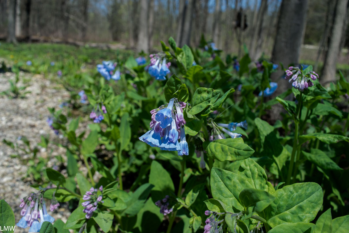
Pros: This is a small but very pretty little park. The trails are well marked, maintained and they are popular with families on bikes. Campsites are big, plentiful and pretty widely spaced. Bird watching from on top of the bluff overlooking the Rock River is amazing and white pelicans are easy to spot.
Cons: There are only about 4 miles of trails in this park, so it’s better suited for a weekend napping in under the sun-dappled canopy than a big hiking adventure. Off road bikers looking for a challenging course might find this park insufficient, but families with little kiddos should have plenty to do.

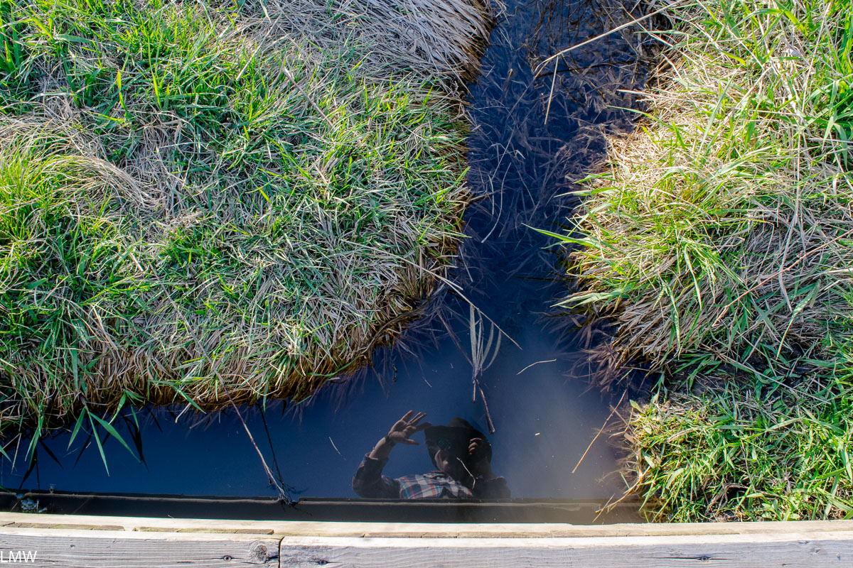
Report: I visited Lowden State Park the first chance I got after Illinois began reopening following months spent indoors due to coronavirus. I have a tendency to never stop working, which means working from home is both great and terrible. I’ve never been more productive and I am very tired.
On Friday morning I packed up everything I needed hastily, remembering everything but my coffee. I wanted to get there early to get one of the eight hike-in sites available at Lowden, which are not reservable online. Hike-in sites don’t allow vehicular access, so you have to haul all your gear from your car to camp. This usually means you’ll find a quieter campsite with a bit more privacy.

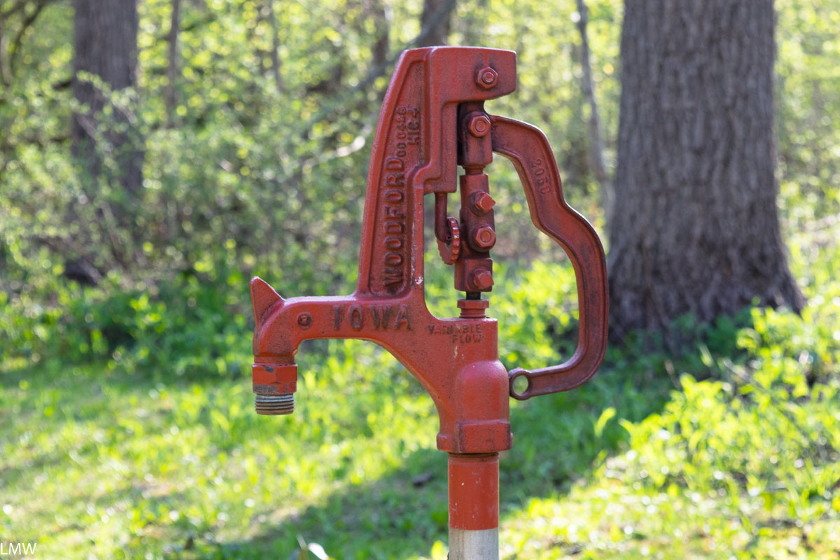
Lowden State Park is primarily for campers. There are two main campgrounds, one with electrical hookups, showers, restrooms, sport courts, a playground, and a concession stand. Those are located just a short walk to the statue and the main trail system. The other campground is just on the other side of River Road, and involves crossing a two-lane highway to access. This campground, called the White Oak Area, includes more primitive sites with fewer amenities. Restrooms are vault toilets in the White Oak campground. White Oak Campground has the hike-in sites, so that’s where I headed.

Site 7 was available. The site was a short walk away from vault toilets, and included a fire pit with grate and a picnic table. The site was pretty big, and set back far enough from the trail that I had plenty of privacy. The hike-in sites are connected to the Pines Trail, a one-mile looped trail that guides you back to the White Oak Campground, or offers a way to access the main trail system. Caution: Crossing between the two trail systems involves walking across a lightly trafficked two-lane highway, but there is no crosswalk or signs that might indicate to the divers that a pedestrian would be here. The signage for this crossing is unclear, I walked a few hundred feet down the side of the road before I found the path into the larger trail system.
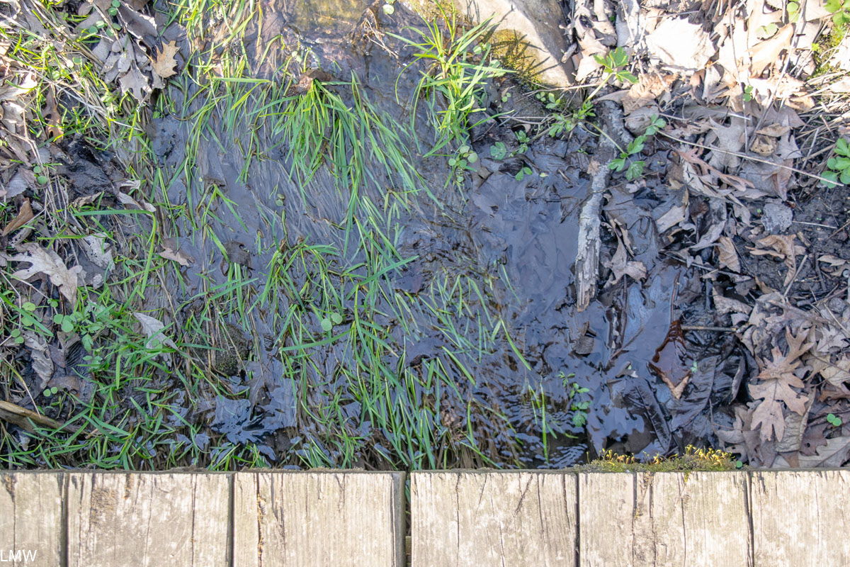
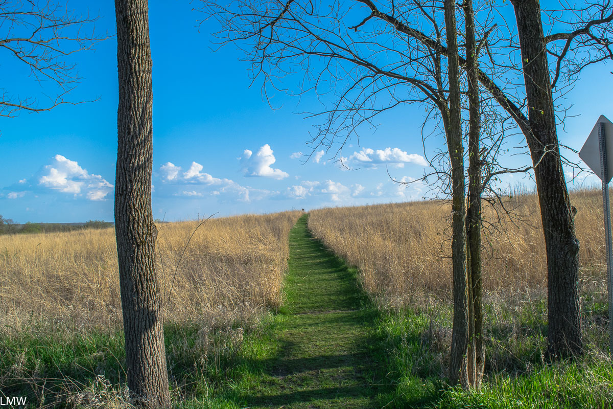
The trails inside the park are wide, flat and hard. They are made of packed dirt with occasional roots or sticks that may create a trip hazard. The main trail system is built into the side of a bluff along the Rock River. If you follow the lowest trail to the end you will find a strong spring flowing out of the side of the hill. There are staircases leading to the top of the hill, but two of the three are a bit dilapidated and the trail is rough. A center staircase is long but in good condition, and will take you right up to the top of the bluff. Once you get to the summit, you’ll be greeted by a 48-foot-tall concrete statue of a Native American man and that’s where we start talking about the history of this land.

A park with a lot of history:
This spot on the Rock River and the surrounding region are the ancestral homeland of the Sauk people. European settlers arrived to the region starting in the late 1700s. By 1804 a series of treaties, collectively called The Treaty of St. Louis, were signed between the United States are various Native American tribes. One signed by William Henry Harrison and Quashquame, a representative of both the Sauk and Meskwaki tribes, was signed on November 3, 1804. A consequence of that treaty was that all the land stretching from northeast Missouri through almost all of Illinois north of the Illinois River, and a large part of southern Wisconsin was traded for $1,000 in goods delivered to the tribe each year. The Sauk people deeply resented this treaty, especially Chief Black Hawk, who felt that Quashquame was not authorized to sign the treaty. The land that would become Lowden State Park was included in that treaty.
Black Hawk never recognized that treaty as valid and he actually sided with the British during the War of 1812 in an attempt to push white settlers out of the region. By 1828 Sauk and Fox tribes were removed west of the Mississippi River. In 1832 Black Hawk, who had not moved from the land, forged alliances with other tribes and Britain. Black Hawk led this band of 1500 men, women and children into Illinois from Iowa in an attempt to reclaim their homeland. About 500 of those were warriors. This group was called The British Band and was victorious at the Battle of Stillman’s Run against the Illinois Militia on May 14, 1832. This was the start of the Black Hawk War. The war lasted through August of that year when hundreds of men, women and children were killed by a U.S. gunboat at the mouth of the Bad Axe River.

Following the British Band’s, defeat President Andrew Jackson had Black Hawk, along with other Native American leaders, paraded around the nation as a spectacle for white Americans. That’s not the end of the story of Chief Black Hawk, but it is the end of the part of the story that pertains to this park.
Jump ahead to 1843.
America’s first female war correspondent was a woman named Margaret Fuller. She was also a journalist, editor, critic, translator, women’s rights advocates and transcendentalist. That year Margaret made a trip through the Great Lakes region, from Chicago to Buffalo. She spent much of that year interacting with Native American tribes, including the Ottawa and the Chippewa. That year she made her only stop in Oregon, Illinois. Walking along the east bank of the Rock River Margaret noticed a natural spring at the base of the bluff. She named it “Ganymede Spring” and sat down beneath a striking cedar tree at the top of the bluff to write “Ganymede to His Eagle,” a poem which won her some acclaim. Today, the spring still carries that name and an island in the middle of the Rock River has been named in her honor.

Fast forward again to 1898.
Sculptor Lorado Taft and a bunch of his friends from the Art Institute and the University of Chicago were searching for a place to spend their summers away from the city. After their first colony at Bass Lake, Indiana ended in malaria, they were planning to search in Wisconsin. When Wallace Heckman, a wealthy attorney and arts patron, purchased this plot of land on the Rock River and invited Taft and his pals to visit this spot for the Fourth of July. The group was so charmed by the site, and Heckman so charmed by the group, that by the end of that week the group signed a lease on 15 acres of land for $1 per year, with the stipulation that each member of the colony give a free lecture or demonstration in the area. This became the Eagle’s Nest Art Colony, named in honor of that cedar tree where Margaret penned that poem. Today the cedar tree has been cut down and only a stump remains. Circle of life.
Beginning in 1908 Lorado began work on what would become the centerpiece of the park today. Officially titled “The Eternal Indian” but often called the “Black Hawk Statue” this 48-foot-tall concrete statue stands directly above the spring on top of the bluff. It weighs 536,770 pounds and is said to be the second largest concrete monolithic statue in the world, after only Christ the Redeemer in Rio de Janeiro.

According to Lorado in 1911, when the statue was unveiled, this work “represents the unconquerable spirit of Native Americans.” While it was partially inspired by Chief Black Hawk, it is not directly named in his honor and bears no resemblance to his likeness. Taft ran short on funds prior to completing the monumental task, but then-Governor Frank Lowden stepped in to finance the completion. The park is named in his honor for this reason. The statue has recently been restored to its original condition and the land where the colony was located is now owned by Northern Illinois University.
I think it’s reasonable to say that as a monument to Chief Black Hawk and the Native Americans who called (and still call) this land home, the sentiment could have been better executed. If Taft were taking on this project today, he would be wise to consider the history of the land a little more thoughtfully, and incorporate ideas and suggestions from local Sauk, Fox and other Native American tribes. In a time when Americans are taking a more critical eye at the statues and monuments we keep on display, this particular statue seems to have avoided much of that controversy. What I do know for sure is that much of the information presented on the signage around the history glosses over some of the nastier parts of that story and should be updated to include a more accurate history of the region.