Camp Thunderbird Trip Report: Kettle Moraine Southern Unit Pinewoods Campground and Scuppernong Trail

Site 15, where we moved after we saw Site 16 (eesh).

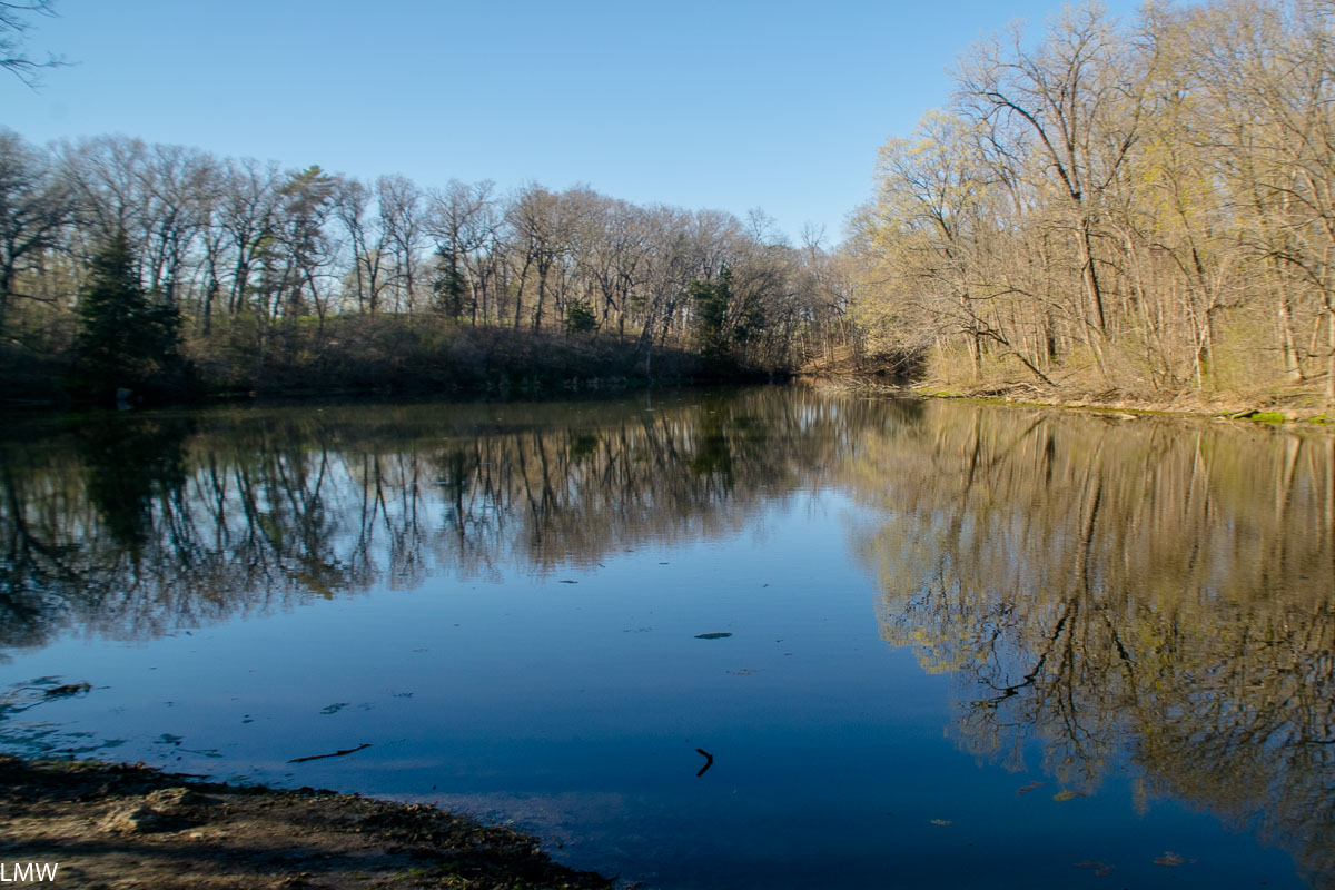
This year we’re planning to take our annual trip at Isle Royale National Park up in Lake Superior. There isn’t much in the way of new equipment that needed testing, but y’know it’s good practice to do that. For our test camp we spent one night up at Kettle Moraine Southern Unit just outside Dousman, Wisconsin. This is a stunningly beautiful piece of land that unfortunately has been marred recently by capitalism.

Site 16, which is allegedly a private hike-in site (except for the part where all the surrounding vegetation was logged away.)

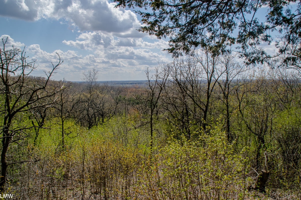
Our trip overlapped with the Aquarids Meteor Shower and a new moon, so initially we were hoping to visit Green River Wildlife Conservation Area, which is a designated dark sky site. Unfortunately, rains all week led to floods and the staff there advised us to stay away. Seeking higher ground, which isn’t easy to find in this part of the Midwest, we headed up to Kettle Moraine. Green River is about 600 feet above sea level, Kettle Moraine gets a lofty 1300 feet above sea level. This is what we consider rugged topography in the Midwest.

Please enjoy this terrible shot of the night sky.

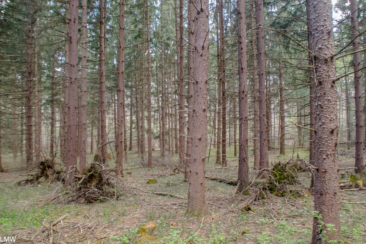
A Moraine is an accumulation of glacially formulated debris. Kettle Moraine stretches from Walworth County on the south to Kewaunee County on the north end. Extending over 120 miles of rough terrain, it’s a collection of irregular ridges and upland areas. It was formed when glacial sediment was deposited between the Green Bay and Lake Michigan Lobes between 18,000 and 15,000 years ago.

Elephant ears. <3

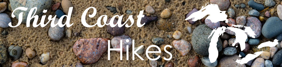
Since we booked our campsite only about 48 hours in advance, we didn’t do much research beforehand. There’s not a lot of huge variances in our topography around here, so I focused on where I could find the highest ground within about 100 miles of Chicago. We selected the Pinewoods Campground (because it’s designated as a 24 hour quiet zone and that matters to me so much) and chose the walk-in Site 16. Campers staying at the Pinewoods campground are asked to check in at the Ottawa Lake park headquarters.

This crow is probably thinking “Sqwak, where’s my habitat?”

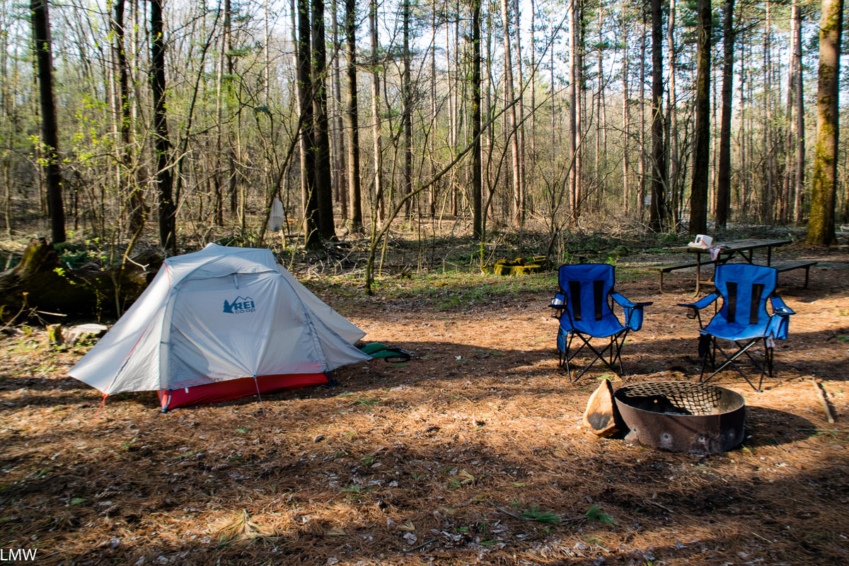
We headed up to Pinewoods, found Site 16 and then just kind of stood there processing what we saw. Apparently on his way out of office former Wisconsin Governor Scott Walker felt he should do some redecorating across Kettle Moraine. Just about every tree surrounding what had previously been a hike-in site, was just gone. Logging at the campgrounds on this end of Kettle Moraine has done a number on the scenery, particularly the campgrounds on the north end of the Southern Unit. Hikers who take the green path of the Scuppernong Trail will get a pretty good view of the destruction. Apparently you need to bulldoze rows and rows of pine trees just to remove the ones they cut down. It doesn’t seem there was much rhyme or reason, and it was all done apparently for a little bit of money. I picked up bits of discarded truck tires, gas caps and other litter left behind in my campsite by some heavy machinery.

The view from the back of Site 16, looking back towards the main road through the campground. Cannot recommend.

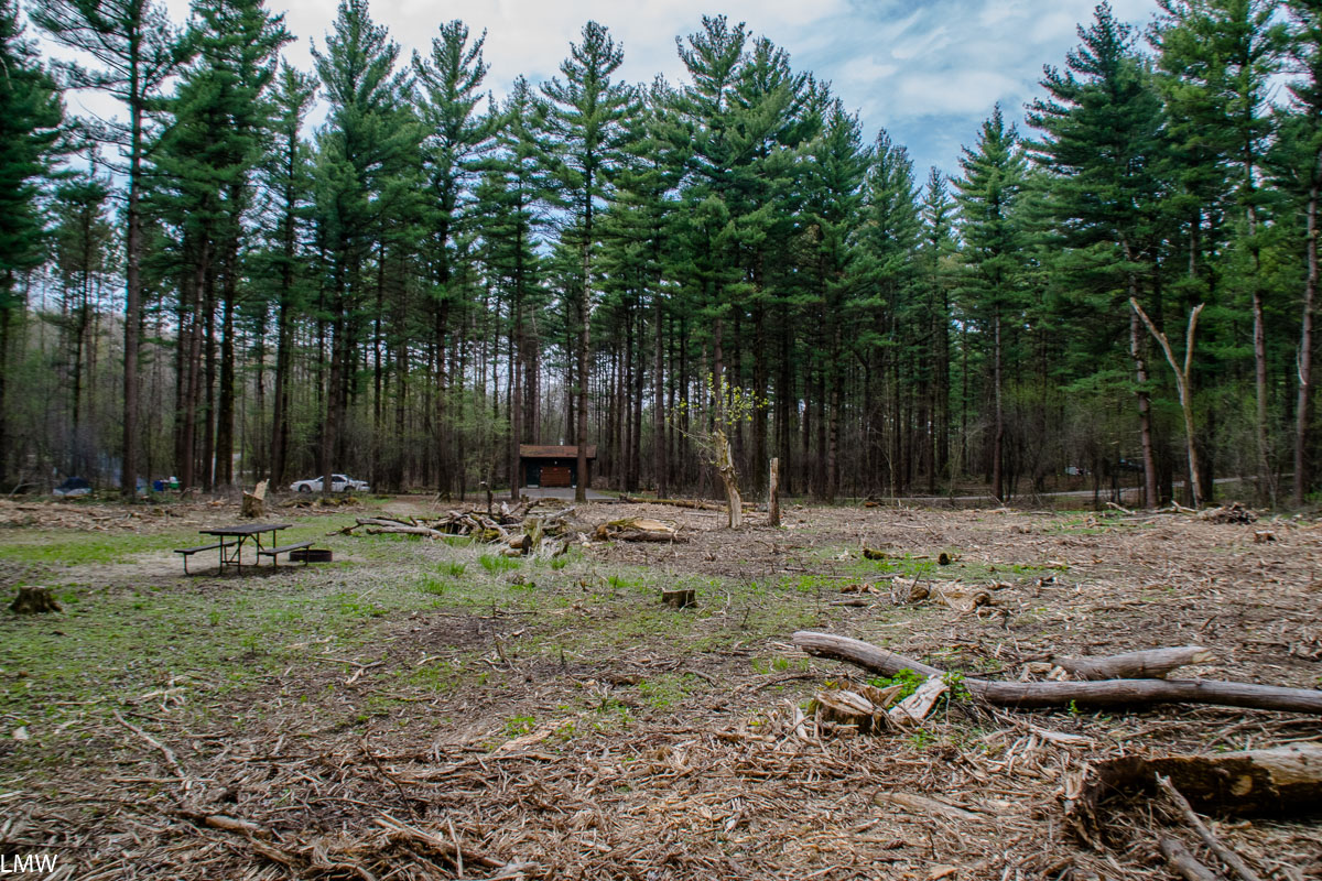
We asked the camp hosts if anyone would mind if we stayed at Site 15 instead, and they allowed it. Site 15 was less damaged by the logging operations, and has shade remaining. Site 16, which had previously only been accessible after about a 200 foot hike away from your car, is now a full-sun site more or less all day. I cannot recommend Site 16 at this time. Site 15 is fine, if you don’t mind being adjacent to an open field where a bunch of pine trees used to be.

Mosses and spores, mosses and spores.

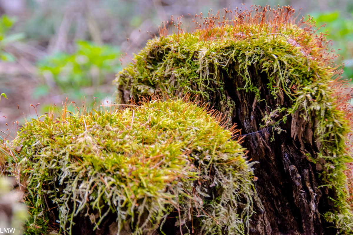
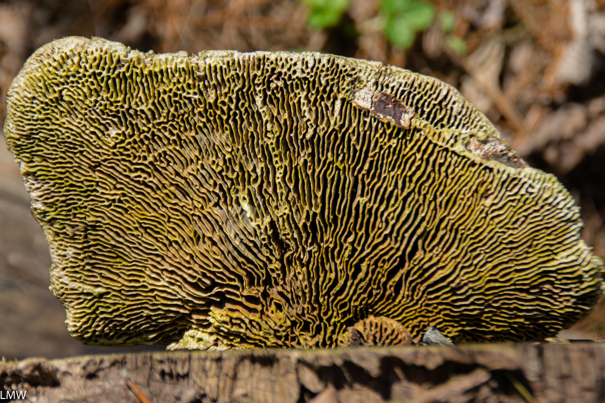
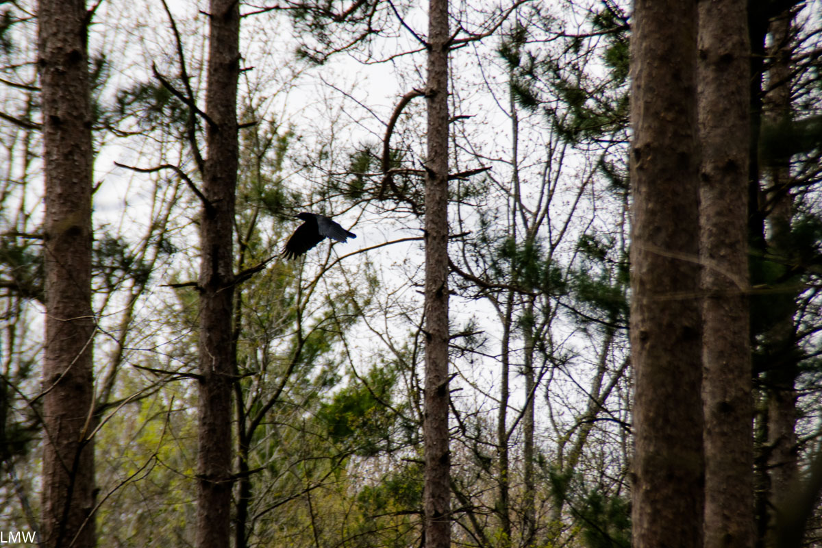
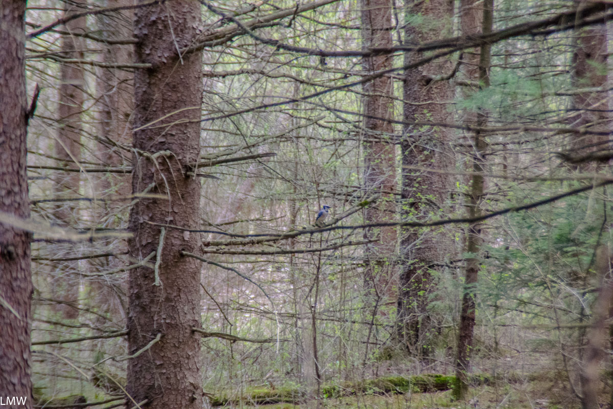
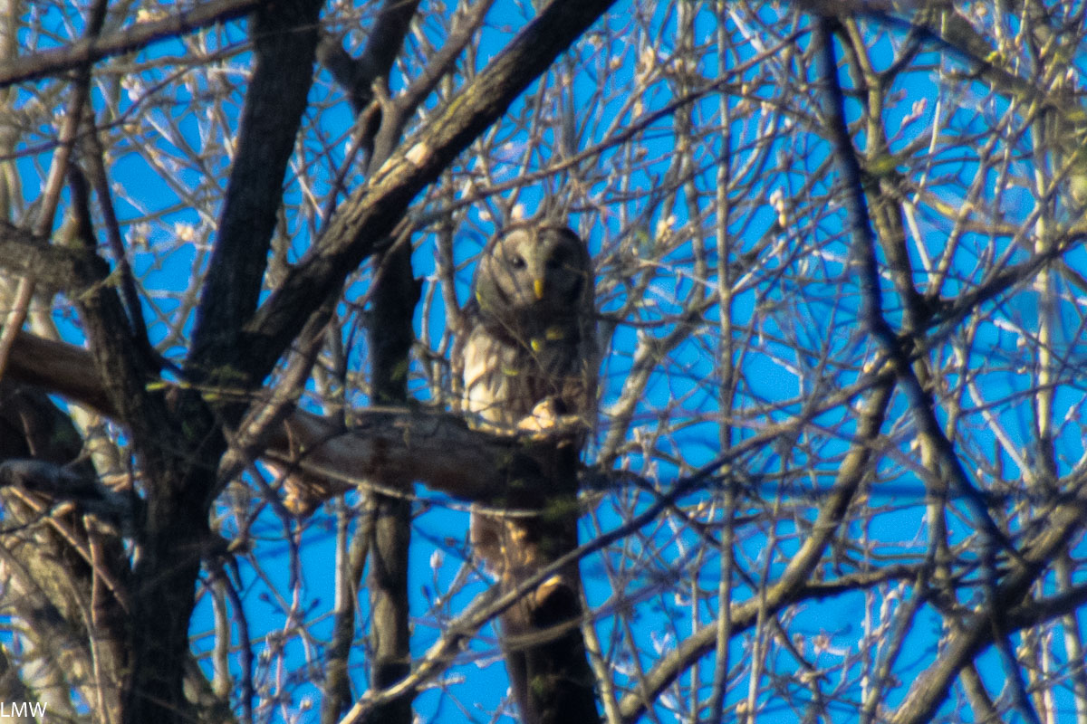
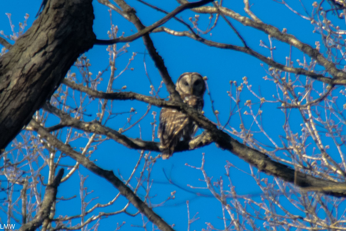
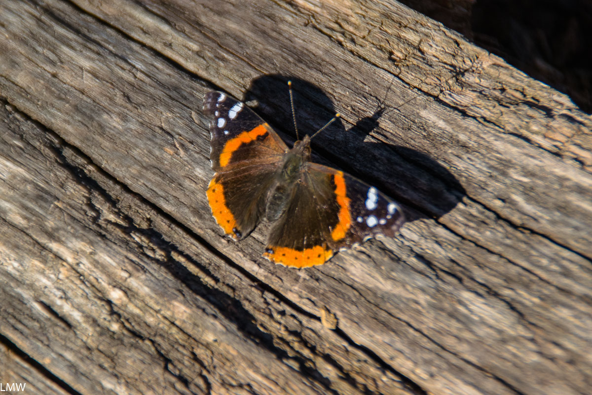
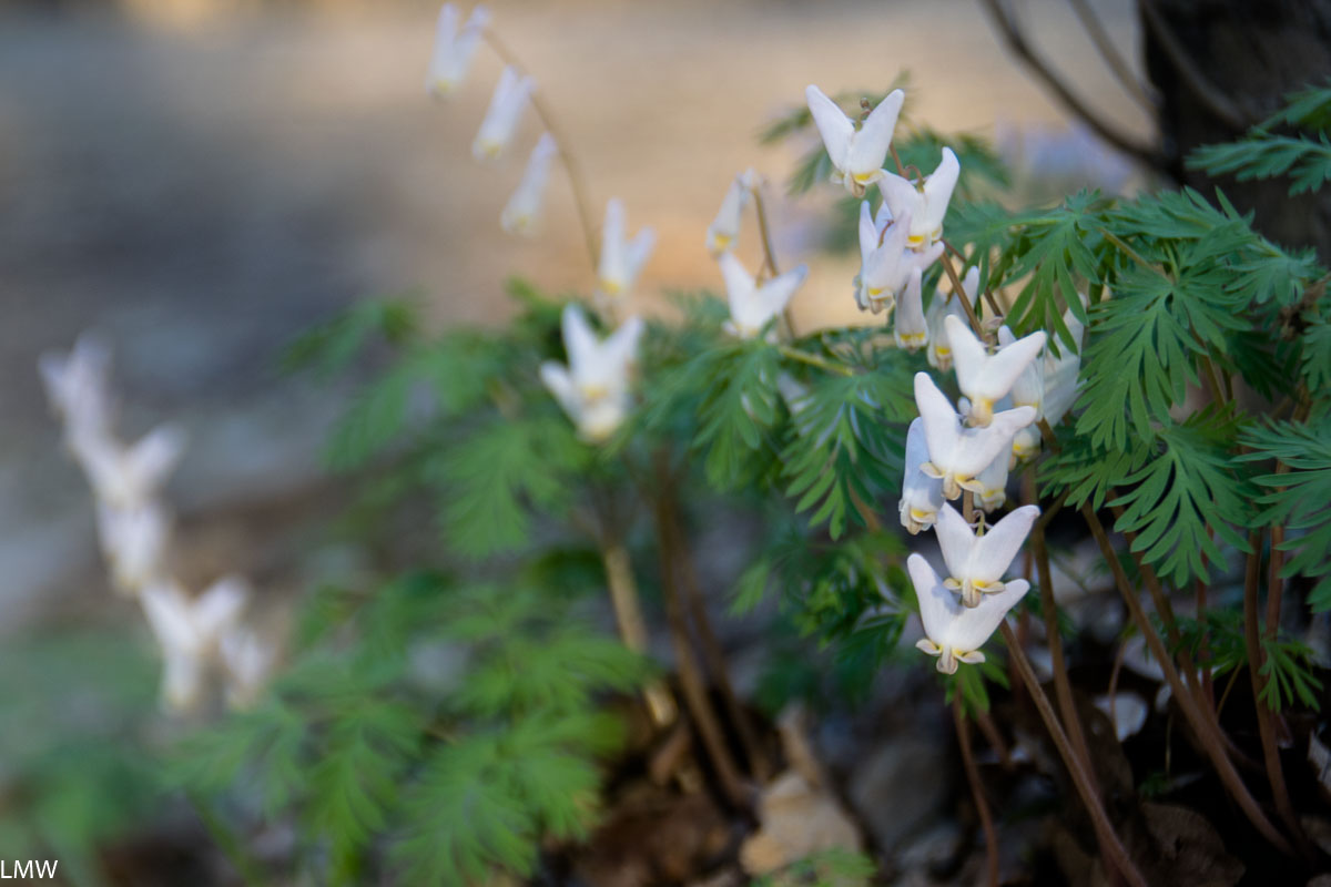
Sunday we got up and lazed about camp and made breakfast and putzed around looking at birds and mosses. This period was excellent. Dave took a leftover potato from the night before (baked in the fire, obviously), he made bacon and eggs and coffee. We broke camp maybe around noon and headed to the Scuppernong Trail Head, fully loaded with our packs.

I’ve got zero beefs with the Scuppernong Trail though. Overall, it’s a beautiful and excellently marked path. It would be much improved if they left the trees alone along the north end instead of cutting them down for private profit.

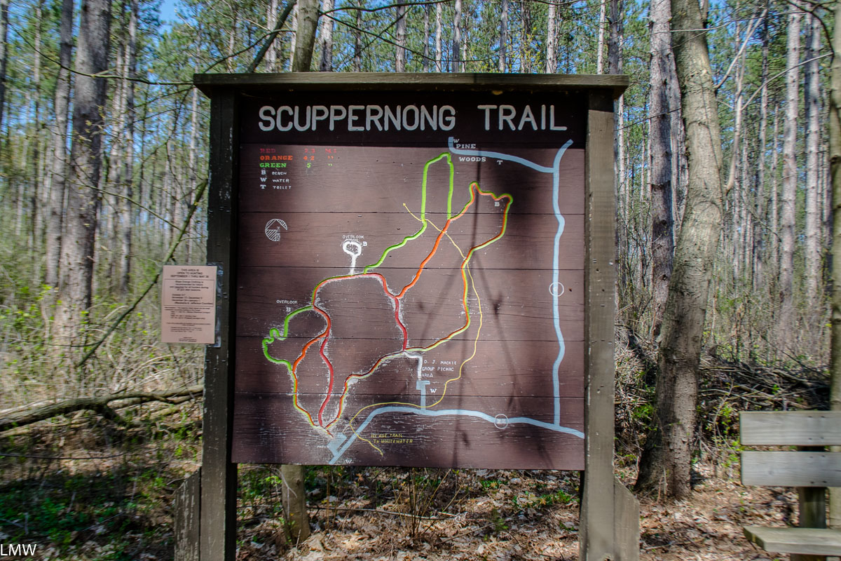
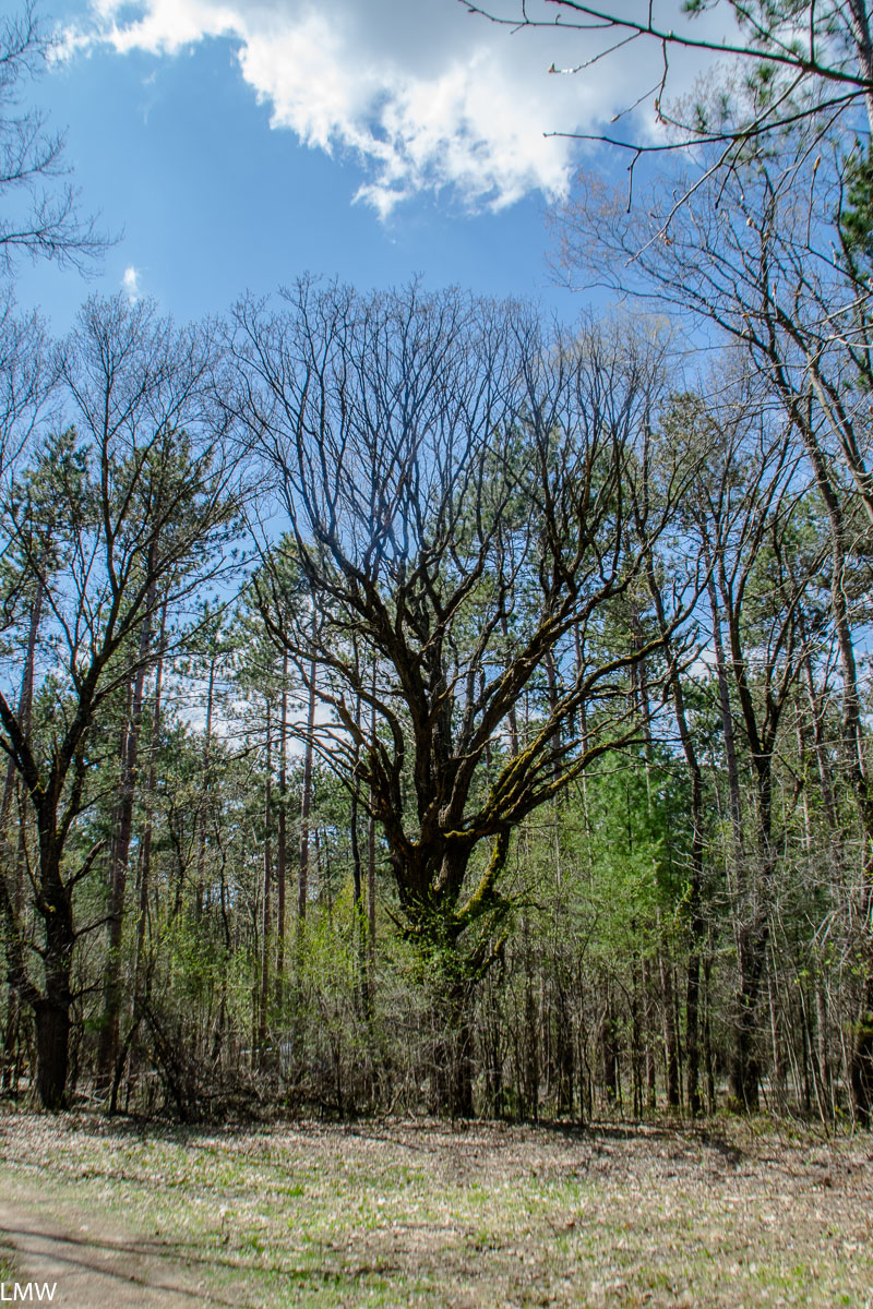
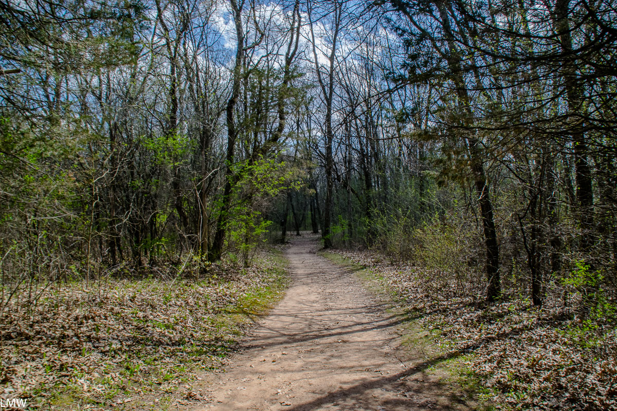
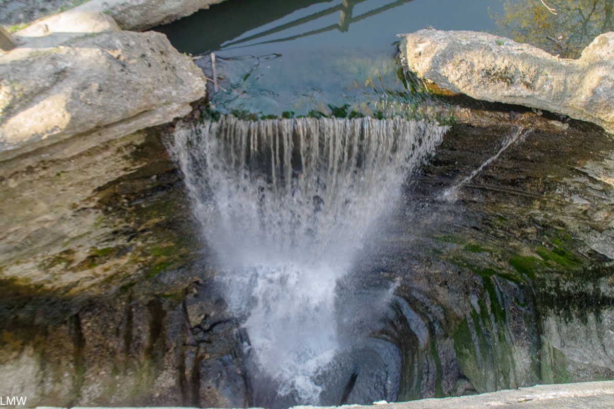
The Scuppernong Trail System intersects with the Ice Age Trail and includes three shorter loops of varying difficulties, ranging from 2.3-4.9 miles in length. At the trailhead there is sufficient water, parking and a vault toilet. The trails meander through hardwoods and pines, including some truly gorgeous giants you’ll find at the end of the trail. Bikes are not allowed on this trail system, and in the winter it becomes a ski-only trail. I hope the Wisconsin DNR takes the time to very clearly mark the trail this winter, especially on the northern end of the Green and Yellow loops. The logging done on that end of the park has left wide scars across the land, and it’s pretty easy to see how a skier could easily get lost down a bulldozed path if the trail were not clearly marked.

I”m a sucker for a big ol’ oak though. <3

Verdict: Kettle Moraine is a beautiful park, Pinewoods are a beautiful campground, avoid Site 16 and shame on Scott Walker. Shame shame shame, Scott Walker.

The view from Overlook Trail.
The Scuppernong Trail is clearly marked and beautifully maintained.
The waste left behind by the capitalist dogs that logged the Scuppernong Trail.
This bluejay is probably thinking “Chirp chirp motherfucker what did you do with my habitat!”
Yeah but then we got burgers and I drank a 22 oz beer.

Camp Thunderbird Day Trip: Matthiessen State Park, April 20, 2019

Inside the canyon on the path towards the Giant’s Bathtub.

I grew up in a small town in Central Illinois. Objectively, I can see how people get the impression that Illinois is a flat place. Mostly that’s because it is. Anyone who is committed to that perception hasn’t been to Matthiessen State Park.

Not even one of the more noteworthy waterfalls, tbh.

Matthiessen is located adjacent to the city of Oglesby, which is across the river from LaSalle, which butts up against Peru, which is just a hop-skip-and-a-jump away from Spring Valley, where I am from and most of my family still lives. As a result, I don’t get to visit the big parks in the region all that often. When I do visit my time is usually tied up with family stuff. We were able to carve out a few hours during Easter weekend to go hiking in Matthiessen State Park.  

The water levels were okay but on the high-ish side when we were there. Anytime of you that you visit you should be prepared to hop rock-to-rock across the water. It can be a real test of agility.

The Giant’s Bathtub from within a nearby cave. Please be respectful when visiting this site, previous visitors have marred the sandstone with carvings. The concrete bridges and stairs over these canyons were constructed before it was donated to the state, so the state preserves them for accessibility within the park and as part of its historic character.

Matthiessen is one of a handful of excellent parks in that corner of the state. Most people are aware of Starved Rock State Park, which attracts nearly 3 million visitors each year, putting it among the top most visited parks in the entire United States. Matthiessen is a few miles south of Starved Rock, and for most of my childhood was known as a local’s secret. Well, that can’t possibly be true any more because nearly 600,000 people visited Matthiessen State Park last year. (Sorry Illinois Valley Folks, your secret’s out.) There’s also Buffalo Rock State Park if the other two are all too crowded for your tastes. There are 5 miles of hiking trails at Matthiessen State Park, and another nine miles of mountain biking and equestrian trails.

Those bluffs tho. <3

Matthiessen State Park is a stunning example of waterfalls, sandstone cliffs and dells. The park is centered on a stream that flows out of Matthiessen Lake and into the Vermilion River. Over time, the stream has eroded the sandstone leaving big drops, rock formations and huge waterfalls. The largest of which is Cascade Falls, which empties directly from the lake into the beginning of the Lower Dells 45 feet below. Minerals in the water discolor the rocks, and mineral springs attract deer seeking out salt to lick.

Visitors should prepare for a lot of rock hopping any time of year when visiting Mattheissen State Park. The water levels were not particularly high on this particular Saturday, but during flooding (especially in the spring and fall) it can be a very soggy hike.

The bottoms of the canyons are notably cooler and provide a habitat for mosses, liverworts, ferns, salamanders, frogs and toads. From the tops of the canyons visitors will find black oaks, red cedars and white oaks, as well as the Canada yew and Canada mayflower, which are usually found much further north. Look up from the canyon floor and you’ll probably catch a glimpse of cliff swallows that make their nests in the eroded canyon walls. I got a good look at a beautiful, big barred owl while we were hiking. He saw me, and he was clearly not impressed. (The feeling was not mutual because I was extremely impressed.)

A handsome barred owl who did not care at all for me.
THAT’S TOO BAD BUDDY BECAUSE I’M A BIG FAN OF YOU.

History:
Frederick William Matthiessen was a German immigrant, philanthropist, industrialist and Mayor of LaSalle, Illinois. He was born in the Hamburg and attended the Freiberg University of Mining and Technology. (There he met met Edward C. Hegeler, a fellow engineering student studying mining.) Matthiessen and Hegeler became pals and immigrated to the United States together in 1856 and set up their zinc smelter on the banks of the Little Vermillion River in LaSalle. They broke ground on their plant on Christmas Eve 1858, which was a problem because the demand for zinc kind of plummeted until 1861 when the Civil War broke out. The following year the arms industry boomed, driving up demand for zinc. Eventually the organization would expand its portfolio to include rolling mills, coal mines, machine shops and what would eventually become the Westclox Company (but that’s a whole different thing.)

Mattheissen Lake, from which the stream feeds down the canyons and into the Little Vermilion River.

So Frederick Matthiessen was a pretty notable figure for where and when he lived. He was also more than very wealthy. The parcel of land that is now known as Matthiessen State Park started off as the Matthiessen family personal estate. During his life there were two mansions, several cottages, a garage, and a private fire station constructed on the 176 acre property. The private park was previously called Deer Park, and his heirs donated the land to the state following his death in 1918. The park was renamed after him in 1943. Today parcels have been added and the park is nearly 2000 acres in size. All the original homes and buildings have since been destroyed, but the concrete bridges and walkways that adorn the canyons were constructed during his lifetime.

Cascade Falls, from above, the tallest fall in the park at 45 feet high.

Future:
The Vermilion River and the Little Vermilion River are two of Illinois’ most scenic natural waterways. Last year a huge parcel of land was donated to the state by its owner Buzzi Unicem, a cement manufacturer. The land has been in the company portfolio for decades, and at this point they’ve probably removed all the minerals they can extract from the land, BUT OKAY. Point is, this particular stretch of land will add 2,629 acres of native, protected land to the Illinois State Park system. The added land will connect both Starved Rock and Matthiessen. This donation will also protect Illinois’ only natural river rapid. (We’ve got one!) Seriously, canoeists will want to put this one on their radar, paddling that stretch of river is amazing. The Illinois Department of Natural Resources is currently planning to restore forest, prairie and wildlife habitats as well as develop trails, a campground, picnic areas and canoe and kayak access. Other recreational opportunities will include skiing, fishing, hunting and horseback riding. This is all just excellent news for the parks in the area, I just want to see the state dedicate the finances it needs to support Starved Rock, Matthiessen and Buffalo Rock state parks. They’re gems.

A red admiral. <3
Dutchman’s Breeches, a charmingly shaped, hilariously named, native floral to the region.

Trip Report: Shawnee National Forest, August 19-21, 2017


I had the eclipse marked on my calendar probably 8 months in advance, but as the date grew closer I wavered on making the drive. Work was getting crazy, and the car definitely needed to be fixed before I wanted to take it on a six hour road trip. Dave never wavered though. I never heard the kind of wishy-washing that takes place before you take time off to travel to a wedding or to a family reunion. Dave was resolved to go one way or the other. So we went.

The National Park Service seemed more or less to suspend its rules for that weekend. The Shawnee National Forest, located at the southern tip of Illinois, opened campsites that had been closed for years to accommodate the influx of people but even still they were not taking reservations. All sites were first-come-first-serve. We had the advantage of being able to backpack in, which means our camping options were both more numerous and more private than many other campers would be able to enjoy that weekend. We did very little planning beyond deciding to get on the road around 6 a.m. Saturday, which should theoretically put us in Vienna, IL around noon. Which is plenty of time to hike around, find and set up camp.

The park service was not specifically advising people to go to Jackson Falls, so we hoped it would be a more private, secluded long weekend than we might find if we went to Garden of the Gods or other higher trafficked areas. We were probably right. We also made this plan expecting Jackson Falls to have plenty of water – which we learned was a mistake. The falls are dry in August, which we might have learned if we did any advance research. Which we did not.

We hiked about a mile into the park before we came to a rock slide that allowed you to descend into the canyon. When we got to the bottom we ate lunch (cheese, sausage and cherry tomatoes). Other hikers told us we could find water a little further into the canyon, the falls were dry but flowing water is hard to stop any time of year. After about another 15 minutes walking, we did find plenty of creek water. Not exactly flowing, but viable. That night we camped at the bottom of the canyon and heated a dinner of canned chili and minute rice on a fire we built on the dry riverbed.

The canyon at Jackson Falls is very popular with rock climbers. There are sandstone bluffs rise that about 60 feet above the floor and its several degrees cooler at the bottom than on the ridge. Not an unpleasant way to spend a night in Southern Illinois in August. We did move up to the ridge the following night for a couple of reasons, though.

  1. We could. We have the backpacks. We can move wherever we like.
  2. The air was somewhat stagnant at the bottom, which meant stagnant air in the tent.
  3. Sick of walking into spider webs. Orb weavers are EVERYWHERE this time of year. Not poisonous or harmful, but so squicky.

We did some recon the next morning and headed up to the top of the ridge to scout out camping locations before we dragged all of our stuff along with us. We found a relatively flat spot within line of sight of a group of climbers and just a short walk down the path from a big open field. The woods are amazing, and all, but we came here to watch the moon block out the sun and you can’t see that under the canopy. 

Dave and I descended back into the canyon and I toted water while he broke camp. We packed up and realized we had absolutely no idea how to get back up to the top with heavy bags. We could take the rock slide we came down, but honestly that sounded kind of scary with 30 pounds strapped to your back. Other hikers had told us about a second entrance close to the falls, so we headed in that direction and started asking people. When we finally did find it, we realized this wasn’t going to be any easier with heavy packs on, so we passed the packs up instead.

It was probably another mile hike from there to our scouted spot, and at this point I think we were both more tired than we expected. The temperatures were in the 90s with high humidity, I think Dave melted a little. We did take a stroll through the open prairie. The grass had been cleared to create a fire access road, but it was also full of some gorgeous plants and dozens of kinds of butterflies. Camping at the top of the ridge was warmer, but the breeze helped mitigate that. We basically made dinner (Aldi canned chicken and Knorr Spanish rice), watched the sunset from behind the trees and went to sleep shortly after it got dark.

The next morning was the day of the eclipse. We were camping less than 500 feet from all the open skies we would need plus we had sunscreen and extra eclipse glasses. I descended back into the canyon to fill our water reservoirs while Dave packed up camp. When I got back to the top we ate granola bars, and waited the show to begin.

A total eclipse of the sun is a dictionary-definition awesome thing. Dave and I stared at the sun for almost three hours (with appropriate protective eyewear, guys, don’t be a dummy). Shortly before totality, the light became decidedly weird. Birds all hushed themselves when it got dark, and for two and a half minutes in the middle of the afternoon, cicadas and crickets started singing. The sun, which shortly before was an orange crescent, was suddenly a black circle with silver light misting around it. As the moon moved on, the orange crescent returned, this time in reverse. Birds started singing but this time it was the high, fast ups and downs of morning songs. I hope they weren’t too upset when the sun set again six hours later. If you have the chance to see it from the path of totality again in 2024, I recommend you do it.

We left the park around 3:30 p.m., headed for the nearest gas station to buy Gatorade and salty snacks and wash three days of camp off of my hands. We refilled our water bladders with that really good fountain machine crushed ice and water (perfection) and headed north on I-57, which was a terrible mistake.

It took us the next 16 hours to travel from Vienna, Illinois back to Chicago. We hit the highway around 4 p.m. and didn’t get back home until 8 a.m. the following morning. I have some pretty brash opinions on this cluster, but you know what? The whole trip was still completely worth it. Totality was amazing. Building a campfire on a dry riverbed was delightful. Nothing makes sense more than the woods, so I won’t let the worst traffic jam of my life ruin what was an amazing experience. Honestly, I don’t think there was much we could have done to avoid it aside from staying an extra day. Next eclipse, though, I’m crashing with my sister in Cleveland.

eclipse2017