Tent camping at Middle Fork State Fish and Wildlife Area

Name: Middle Fork State Fish and Wildlife area

Address: 10906 Kickapoo Park Road Oakwood IL 61858

Size: 2,700 acres

Activities: Fishing, hunting, hiking, canoeing, picnicking, trap range, archery range and camping.

Reservations: No. First come, first served.

Pros: Quiet, beautiful, largely unoccupied by other people, abundant trails.

Cons: Trails are primarily occupied by equestrian riders, so hikers are not the primary users here, and should move aside for riders; few amenities, privacy. Ground fires are not allowed. Pets on leashes at all times.

Report: When you get to Middle Fork State Fish and Wildlife Area you will find wide open spaces, big skies, spacious campgrounds and almost no other people, but there might be a few neigh-saying neigbors. This park runs along the Middle Fork of the Vermillion River. Trails travel down bluffs, through valleys, prairies and wide, mown fields. Some trails travel up steep slopes, but most are wide and flat. The terrain is varied, and some roads are made of sand which can be difficult to navigate. There’s a pond, a river, old growth forests, meadows and fields. It’s not commonly used by hikers and campers, since this park does tend to cater to equestrian visitors, but all are welcome.

It’s hard to find information about Middle Fork State Fish and Wildlife Area. That makes it tricky to plan this trip to the degree that I like. Google Maps is really my medium. I know I’m a writer, so I should say that a blank page is my medium, but it is not. The blank page is my Sisyphean hill. Google Maps is my crystal ball. I like to know precisely where I’m headed, down to an annoying degree. Vacationing with me is like vacationing with Leslie Knope, including interesting side trips just for your tastes.

I try to scrutinize campground maps before I set out. I plan to find the furthest campsite away from everyone else as I can. I understand that for some people being able to see the other campers might be a bit of a comfort, but I do not see it that way. Please surround me with trees and not people, I’ll walk far to get there if I have to.

A somewhat rude picture of a bee and it’s pollen.

Middle Fork would not play ball. I could not find a clear map. I could not find the campground on a map. I had a friend verify its reality from a memory from her childhood. I had to take it on faith, and I hate doing that. When I called and Kickapoo State Park answered I asked point-blank, “is there a campground at Middle Fork?” and the woman who answered said “Um… let me look and see.” She then put me on hold for about a minute and when she returned, she sounded surprised to say that “Yes, there is a campground up there.” Seeing no reason for this woman to lie, I trusted there was. Then I lost my notes, and no one ever answered the phone again.

Late August dry creek beds. Horses navigate this crossing just fine, but hikers might want to prepare for wet feet.

So we dropped the dog off at the in-law’s place and headed south. We left I-57 at Highway 49 and followed that south, saving about 5 minutes and taking a route through a series of small towns. Fortunately, when you pass through Collins, the signs for Middle Fork make navigation fairly easy. When I was there the camp host was off-duty and only a handful of equestrians occupied the other campgrounds. The lone tent-only space, campground B, was devoid of campers on a Saturday afternoon. We selected a site on the northern edge. There are six unnumbered sites, and the space is pretty open. There is a self-serve pay box by the day-use parking lot, but the camp host found us at our site.

On the small path between Campgrounds A and B there is evidence that once there was a playground. Bur marigolds have been allowed to grow in over where the swing set once was. Joe Pye weed is abundant, Doll’s Eyes are in bloom this time of year and the trees sing with cicadas. The goldenrod is overwhelming in numbers. There is nothing really resembling pavement in Campground B. If we were not in a late August dry spell, I likely would have encountered a muddier drive. Instead, it was dry and quite easy to navigate. Water is available at a pump in Campgrounds A, C and D, so you don’t have to carry it too far.

Pro tip: Lower trail numbers will lead you back to camp.

The map that does exist for Middle Fork is a bit of a doozy. Paper maps are available for visitors, and they exist on signage when you enter. The trick to deciphering the map for this park is to understand that the trails are numbered, that those numbers don’t relate to the length or difficulty of the trail in any way, and that the numbering system starts at the campgrounds. So if you’re out for a hike from the campground, and you tour the prairies and open fields, crossing the creeks and rivers when you can, and you didn’t take your map with you, just follow the lower numbered paths until you get back to camp.

Oak trees are abundant. There is one oak that dominates campground B. It must be close to 40 feet tall. I suspect a hawk or bird of prey lives there, because of the abundance of jay and downy goose feathers I found all over the place. They all seem to originate underneath a perch about fifteen feet off the ground, in that big oak. One of the campsites is being reclaimed by the undergrowth. Only three have cooking grates. If it weren’t for the absence of other people, there would be almost no privacy. I wonder why no one comes here?

The view from the back of Campground B, looking towards the road. Every single campsite in this spot is visible in this photo, but since there were no people we stretched out. This photo was taken from the camp hammock.

While this campground gets high marks for being devoid of people, it gets low marks for not having or maintaining the sort of thing that would make people want to come. Like privacy, or a functional fire grate. It is far away from a lot, there aren’t nearby stores or restaurants. If you don’t mind the neighbors neighing, your reward will be the sound of coyote packs calling to each other in the night and full moons as bright as city streets. The sounds of screaming cicadas and the smell of hot pollen will let you know we have reached the tail end of another Illinois summer. By Sunday afternoon, after the equestrian day trippers had gone home, we were probably the only people in the park, which is kind of like being the only people for miles and miles. (Which is what I was hoping for.)

Camping in Lowden State Park, Oregon, Illinois

Name: Lowden State Park

Address: 1411 North River Road, Oregon, Illinois 61061

Size: 207 acres

Activities: Boating, camping, canoeing, biking, birding, cross country skiing, fishing, hiking, hunting, metal detecting, statue-viewing, concessions

Reservations: Most campsites can be reserved through ReserveAmerica.com, but some are first-come first-served.

Pros: This is a small but very pretty little park. The trails are well marked, maintained and they are popular with families on bikes. Campsites are big, plentiful and pretty widely spaced. Bird watching from on top of the bluff overlooking the Rock River is amazing and white pelicans are easy to spot.

Cons: There are only about 4 miles of trails in this park, so it’s better suited for a weekend napping in under the sun-dappled canopy than a big hiking adventure. Off road bikers looking for a challenging course might find this park insufficient, but families with little kiddos should have plenty to do.

Report: I visited Lowden State Park the first chance I got after Illinois began reopening following months spent indoors due to coronavirus. I have a tendency to never stop working, which means working from home is both great and terrible. I’ve never been more productive and I am very tired.

On Friday morning I packed up everything I needed hastily, remembering everything but my coffee. I wanted to get there early to get one of the eight hike-in sites available at Lowden, which are not reservable online. Hike-in sites don’t allow vehicular access, so you have to haul all your gear from your car to camp. This usually means you’ll find a quieter campsite with a bit more privacy.

Lowden State Park is primarily for campers. There are two main campgrounds, one with electrical hookups, showers, restrooms, sport courts, a playground, and a concession stand. Those are located just a short walk to the statue and the main trail system. The other campground is just on the other side of River Road, and involves crossing a two-lane highway to access. This campground, called the White Oak Area, includes more primitive sites with fewer amenities. Restrooms are vault toilets in the White Oak campground. White Oak Campground has the hike-in sites, so that’s where I headed.

Site 7 was available. The site was a short walk away from vault toilets, and included a fire pit with grate and a picnic table. The site was pretty big, and set back far enough from the trail that I had plenty of privacy. The hike-in sites are connected to the Pines Trail, a one-mile looped trail that guides you back to the White Oak Campground, or offers a way to access the main trail system. Caution: Crossing between the two trail systems involves walking across a lightly trafficked two-lane highway, but there is no crosswalk or signs that might indicate to the divers that a pedestrian would be here. The signage for this crossing is unclear, I walked a few hundred feet down the side of the road before I found the path into the larger trail system.

The trails inside the park are wide, flat and hard. They are made of packed dirt with occasional roots or sticks that may create a trip hazard. The main trail system is built into the side of a bluff along the Rock River. If you follow the lowest trail to the end you will find a strong spring flowing out of the side of the hill. There are staircases leading to the top of the hill, but two of the three are a bit dilapidated and the trail is rough. A center staircase is long but in good condition, and will take you right up to the top of the bluff. Once you get to the summit, you’ll be greeted by a 48-foot-tall concrete statue of a Native American man and that’s where we start talking about the history of this land.

A park with a lot of history:

This spot on the Rock River and the surrounding region are the ancestral homeland of the Sauk people. European settlers arrived to the region starting in the late 1700s. By 1804 a series of treaties, collectively called The Treaty of St. Louis, were signed between the United States are various Native American tribes. One signed by William Henry Harrison and Quashquame, a representative of both the Sauk and Meskwaki tribes, was signed on November 3, 1804. A consequence of that treaty was that all the land stretching from northeast Missouri through almost all of Illinois north of the Illinois River, and a large part of southern Wisconsin was traded for $1,000 in goods delivered to the tribe each year. The Sauk people deeply resented this treaty, especially Chief Black Hawk, who felt that Quashquame was not authorized to sign the treaty. The land that would become Lowden State Park was included in that treaty.

Black Hawk never recognized that treaty as valid and he actually sided with the British during the War of 1812 in an attempt to push white settlers out of the region. By 1828 Sauk and Fox tribes were removed west of the Mississippi River. In 1832 Black Hawk, who had not moved from the land, forged alliances with other tribes and Britain. Black Hawk led this band of 1500 men, women and children into Illinois from Iowa in an attempt to reclaim their homeland. About 500 of those were warriors. This group was called The British Band and was victorious at the Battle of Stillman’s Run against the Illinois Militia on May 14, 1832. This was the start of the Black Hawk War. The war lasted through August of that year when hundreds of men, women and children were killed by a U.S. gunboat at the mouth of the Bad Axe River.

Following the British Band’s, defeat President Andrew Jackson had Black Hawk, along with other Native American leaders, paraded around the nation as a spectacle for white Americans. That’s not the end of the story of Chief Black Hawk, but it is the end of the part of the story that pertains to this park.

Jump ahead to 1843.

America’s first female war correspondent was a woman named Margaret Fuller. She was also a journalist, editor, critic, translator, women’s rights advocates and transcendentalist. That year Margaret made a trip through the Great Lakes region, from Chicago to Buffalo. She spent much of that year interacting with Native American tribes, including the Ottawa and the Chippewa. That year she made her only stop in Oregon, Illinois. Walking along the east bank of the Rock River Margaret noticed a natural spring at the base of the bluff. She named it “Ganymede Spring” and sat down beneath a striking cedar tree at the top of the bluff to write “Ganymede to His Eagle,” a poem which won her some acclaim. Today, the spring still carries that name and an island in the middle of the Rock River has been named in her honor.

Fast forward again to 1898.

Sculptor Lorado Taft and a bunch of his friends from the Art Institute and the University of Chicago were searching for a place to spend their summers away from the city. After their first colony at Bass Lake, Indiana ended in malaria, they were planning to search in Wisconsin. When Wallace Heckman, a wealthy attorney and arts patron, purchased this plot of land on the Rock River and invited Taft and his pals to visit this spot for the Fourth of July. The group was so charmed by the site, and Heckman so charmed by the group, that by the end of that week the group signed a lease on 15 acres of land for $1 per year, with the stipulation that each member of the colony give a free lecture or demonstration in the area. This became the Eagle’s Nest Art Colony, named in honor of that cedar tree where Margaret penned that poem. Today the cedar tree has been cut down and only a stump remains. Circle of life.

Beginning in 1908 Lorado began work on what would become the centerpiece of the park today. Officially titled “The Eternal Indian” but often called the “Black Hawk Statue” this 48-foot-tall concrete statue stands directly above the spring on top of the bluff. It weighs 536,770 pounds and is said to be the second largest concrete monolithic statue in the world, after only Christ the Redeemer in Rio de Janeiro.

According to Lorado in 1911, when the statue was unveiled, this work “represents the unconquerable spirit of Native Americans.” While it was partially inspired by Chief Black Hawk, it is not directly named in his honor and bears no resemblance to his likeness. Taft ran short on funds prior to completing the monumental task, but then-Governor Frank Lowden stepped in to finance the completion. The park is named in his honor for this reason. The statue has recently been restored to its original condition and the land where the colony was located is now owned by Northern Illinois University.

I think it’s reasonable to say that as a monument to Chief Black Hawk and the Native Americans who called (and still call) this land home, the sentiment could have been better executed. If Taft were taking on this project today, he would be wise to consider the history of the land a little more thoughtfully, and incorporate ideas and suggestions from local Sauk, Fox and other Native American tribes. In a time when Americans are taking a more critical eye at the statues and monuments we keep on display, this particular statue seems to have avoided much of that controversy. What I do know for sure is that much of the information presented on the signage around the history glosses over some of the nastier parts of that story and should be updated to include a more accurate history of the region.

My Urban Prairie: Year 1, June

When we moved into our house last June, the backyard had been neglected for a long time. The previous owners were keen to half-finish projects and generally let the yard go unused, except apparently as a place to store used Juul pods. Concrete pavers occupied a fair amount of space, and we saw the opportunity to remove those, add topsoil, and create a garden fairly easily.

Common star of Bethlehem (not-native)
Common Star of Bethlehem (not native, but it was here when I moved in.)
To my eyes, the space along the fence presented the most opportunity for garden experimentation. This long plot of dirt, about 18-20 inches wide and about 40 feet long, was overgrown with weeds peeking up through the cracks in the pavers and untamed mint plants that the neighbor planted on their side of the fence years ago. I decided to plant a prairie here.

The Prairie Moon Nursery seed mix

Last October, Dave and I, using a pry bar and a 10 foot long pipe to create a fulcrum, removed dozens of pavers from the ground. Then, exhausted and sweaty, we covered the now-exposed sand beneath with a layer of straw and let it decay over winter. Prairies require a cold, dormant season for their seeds to sprout and begin growing. In February, on a lovely about-freezing afternoon, I put on a heavy wool sweater and some leggings, grabbed my shovel and removed about a foot of sand from the tract along the fence. Honestly, it was a refreshing activity. I filled it in with top soil and let it go through a few more freeze/thaw cycles.

A trench dug along a fence in an urban yard. There is snow on the adjacent pavers. A large pile of sand has been removed from the trench.
Sweaty work.

When I felt enough time had passed, and when they arrived in the mail, I cast a tallgrass exposed clay subsoil prairie seed mix along that length of the yard. This is the start of my urban prairie.

Snow covered urban backyard
Prairie seeds require a cold dormancy, so that’s why this all happened in winter.

Why a prairie? Prairies are great. They are beautiful four seasons out of the year. Tallgrasses and a season-long showcase of florals that attract pollinators and birds? Yes, please. Illinois is the Prairie State but we have less than 1% of our prairie left. Native plants attract pollinators, which will help your vegetables produce more food, and their thick and deep root systems soak up water, which helps keep it out of your basement. Beyond that, they provide season-long blooms in a huge array of colors and if you don’t find 10 foot-tall bluegrass stems impressive, I’m not sure what to tell you. They were good enough for Frank Lloyd Wright.

Big seed heads on Big Bluestem grasses (native)
Let’s just look around and try and figure out how Ol’ Frank Lloyd Wright got the idea for those windows.

Restoring a prairie takes a few years. These hearty, tall, gorgeous plants have a deep root structure, the eight-foot-tall big bluestems I’m hoping for will have roots that push down four feet into the earth. Once these perennial plants are established they will require next-to-no work from me. They will also provide a winter haven for insects and a natural landscape I can enjoy all four seasons. For the first two or three years, I will never be able to quit weeding.

Two small rubbery leaves support one large fuzzy leaf. Plant unidentified.
I straight-up have no idea what this plant is.

I chose the tallgrass exposed clay subsoil seed mix from Prairie Moon Nursery. It was the simplest way to get the most diversity of plants that were known to be native to my home region. Now that they are all starting to sprout, I find myself out there most days eyeing tiny flowers and vines. My Seek app is full of things I put there and can’t recognize. Mostly, it’s because they are too small and I am impatient. I know what I planted there, because I have the list of seeds in that mix, so what I need now is a place to catalog what I find.

Common Lamb's Quarters (native)
Common Lamb’s Quarters (native)

Below, is the list of seeds that I ordered from Prairie Moon. Over the course of the season, I’ll be cataloging what I find so that I can better understand what exactly I have done in my backyard. I will likely re-seed next fall, to fill in some patches and create a little more diversity. Once things get taller, I may have to mow, which considering the size of the acreage will probably happen with scissors. Eventually, we’ll have to talk about a controlled burn but that’s not today. I would be a fool to tell you there aren’t way more plants in that bed than there are listed here. It’s a big, open exposed bed of topsoil with no groundcover. I’m fighting weeds I don’t want, and not fighting weeds I think are cute.

Botanical nameCommon name
Wildflowers
Agastache foeniculumAnise Hyssop
Arnoglossum atriplicifoliumPale Indian Plantain
Asclepias syriacaCommon Milkweed
Astragalus canadensisCanada Milk Vetch
Baptisia albaWhite Wild Indigo
Chamaecrista fasciculataPartridge Pea
Dalea candidaWhite Prairie Clover
Dalea purpureaPurple Prairie Clover
Echinacea pallidaPale Purple Coneflower
Echinacea purpureaPurple Coneflower
Gaura biennisBiennial Gaura
Heliopsis helianthoidesEarly Sunflower
Lespedeza capitataRound-headed Bush Clover
Monarda fistulosaWild Bergamot
Napaea dioicaGlade Mallow
Oligoneuron rigidumStiff Goldenrod
Penstemon digitalisFoxglove Beardtongue
Pycnanthemum virginianumMountain Mint
Ratibida pinnataYellow Coneflower
Rudbeckia hirtaBlack-eyed Susan
Rudbeckia subtomentosaSweet Black-eyed Susan
Rudbeckia trilobaBrown-eyed Susan
Senna hebecarpaWild Senna
Silphium laciniatumCompass Plant
Silphium terebinthinaceumPrairie Dock
Symphyotrichum laeveSmooth Blue Aster
Symphyotrichum novae-angliaeNew England Aster
Verbena hastataBlue Vervain
Verbena strictaHoary Vervain
Trees, shrubs and vines
Ceanothus americanusNew Jersey Tea
Grasses, sedges and rushes
Andropogon gerardiiBig Bluestem
Elymus canadensisCanada Wild Rye
Elymus virginicusVirginia Wild Rye
Juncus dudleyiDudley’s Rush
Panicum virgatumSwitch Grass
Sorghastrum nutansIndian Grass
A green plant with long leafs around a central stalk. Unidentified.
Not sure what this is yet, but I’m hoping it’s milkweed.

Chicago Transit Hikes on WGN Radio’s Nick Digilio Show

Just a couple’a pine cones.

I stayed up late last night talking with WGN Radio host Nick Digilio about Chicago Transit Hikes. There’s so much beauty, and such a diverse landscape, in the land immediately around (and sometimes inside of) the city itself. I spoke with Nick about the book, some of the best hikes you can find around Chicago, backpacking mishaps that led to new friendships, how to get comfortable outdoors if you’re just starting out and a whole bunch of other stuff.

Check out my segment here.  

Camp Thunderbird Trip Report: Buckhorn State Park

Image of river as seen from Buckhorn State Park campsite.
It spent a great deal of time watching the clouds roll by at Buckhorn State Park in Necedah, Wi.

Name: Buckhorn State Park

Location: W8450 Buckhorn Park Ave, Necedah, Wisconsin

Size: Over 8,000 acres (including the two adjacent forest preserves) of oak barrens, pines, sand blows, riverfront, and one nice stocked fishing pond that is quite cute.

Activities: Hiking, camping, bicycling, birding, cross country skiing and snowshoeing, canoeing and kayaking, dog walking, fishing, geocaching, hunting

Reservations: Online, walk-up

Pros: Stunning wildlife, big skies, secluded camping, excellent birding, quiet hikes

Cons: The neighbors were a bit loud the first night, but that’s not the park’s fault. We all need to be more mindful of the way that water carries the sounds we make.

Image of bench facing river at campsite at Buckhorn State Park.
I am still somewhat wary of this bench on top of a berm being slowly eroded by the river, but to be honest it was more solid than you’d think.

In late September my best friend and I planned to meet up for a ladies-only camping trip in Buckhorn State Park. I am somewhat confident that the reason my friend agreed to this trip is because neither of our husbands would be there to show-off or demonstrably out-camp us.

Image of hiking trail at Buckhorn State Park.
I cannot speak highly enough of the oaks and the barrens at this park.

Buckhorn State Park is located outside Necedah, Wisconsin along the banks of where the Yellow River meets the Wisconsin River. My friend lives in Minneapolis, and I live in Chicago, so we picked Buckhorn because it was easy for everyone to meet in the middle.

Image of hiking trail at Buckhorn State Park.
Many of the paths are wide and flat, though the soil can be sandy.

Buckhorn is a notable park because most of the campsites are either hike-in or backpack-in. My friend is more of a glamper than I am. I am not the biggest fan of traditional camping, where you have easy access to your car or RV. They come with conveniences, sure, but they also tend to exist nearby other campers. For me, if I can see another human being from my campsite, then I’m not really far enough away from it all. My friend likes to tend fires and cook a series of meals, that’s her favorite part of camping. Buckhorn was a pretty suitable compromise between these two things. She got to tend to a fire for hours and cook a series of pretty tasty meals and I could not see any other people in any other direction.

Image of campsite at Buckhorn State Park.
The view of my campsite after my friend had left, and I spent a few nights solo.

Buckhorn offers 68 campsites and a 60-site campground. Each site comes with a picnic table and fire ring. Many sites come with a post to keep food and trash off the ground without hanging it in a tree (you’ll still want to take extra precautions, raccoons do lurk about.) There is one accessible campsite near the South Campground, Site 8, which also has an electrical hookup. Many of the trails are also flat and wide, which does make the trails a little more accessible for someone with a mobility device. Be aware that the soil can be quite sandy.

Image of pine trees at Buckhorn State Park.
Pines along the trails on the north end of Buckhorn State Park.

Camping is allowed year-round at a handful of sites within the park, but many (including the South Campground) close for use from October – April. I stayed there through September 20-24, so I was probably the last person to camp at that site this year, though I didn’t realize it at the time. Most hike-in sites are between a few hundred feet and a mile from the trailhead, but many sites offer the use of a cart, which makes hauling in gear and firewood much simpler. We stayed at Site 15, which was about .4 miles from the trailhead. Potable water, showers and toilet facilities are available at the trailhead. Portable toilets are located near the campsites themselves, so it’s a bit easier to enjoy the comforts of modern life shortly after your coffee kicks in.

Image of forest floor at Buckhorn State Park.
Sometimes the forest floor just shows you what your laptop’s background image ought to be.

The first night we stayed at Buckhorn we were fortunate enough to have clear skies. I’m a sucker for the stars and just kind of melt when I see the Milky Way. The second night saw thunderstorms roll through, so there were no stars and we huddled in our tents most of the night. The temperatures were okay, actually, they hovered between 50 and 70 for most of the weekend but there was plenty of rain.

Image of plants at Buckhorn State Park.
Actually, I have no idea what these were. :/

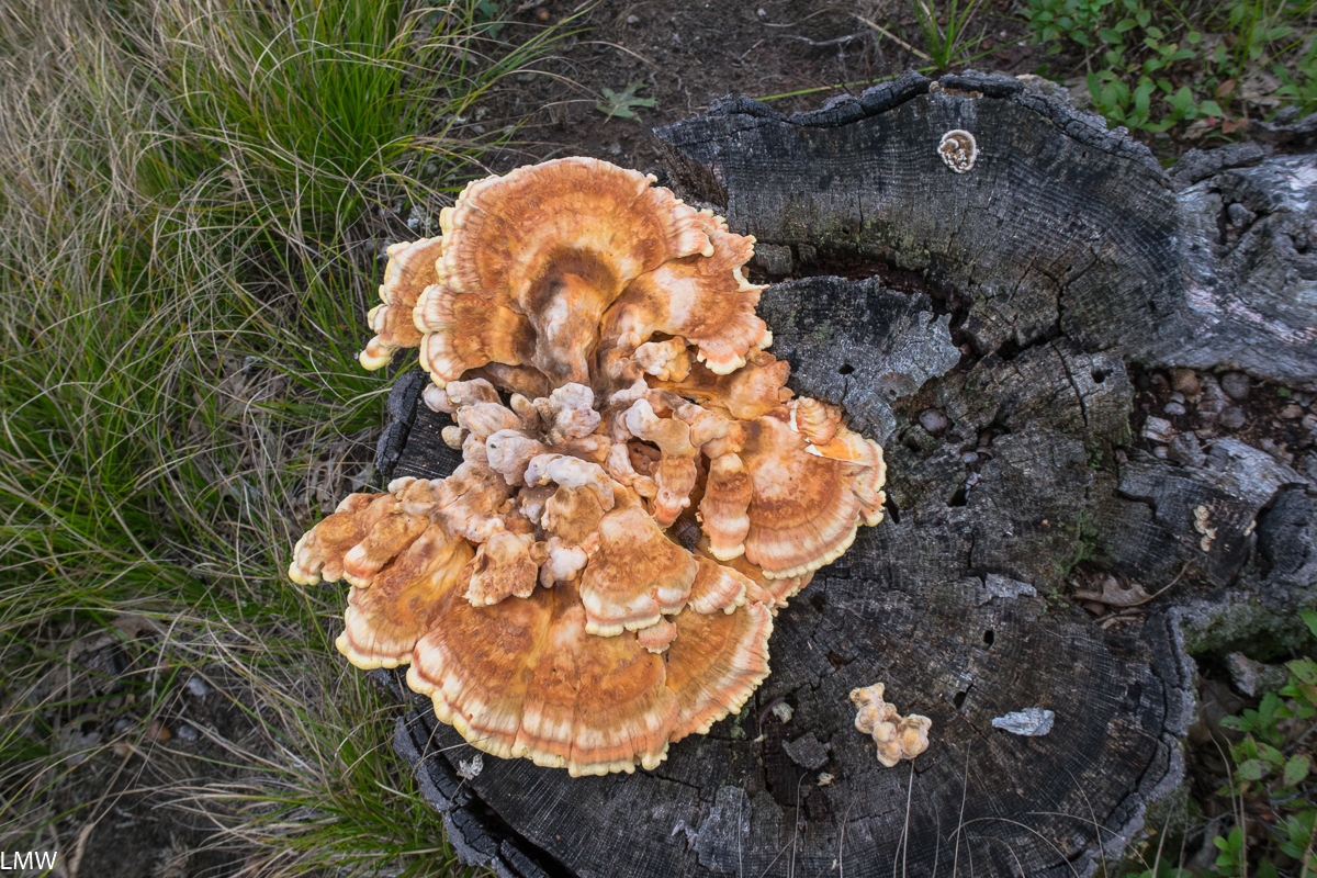
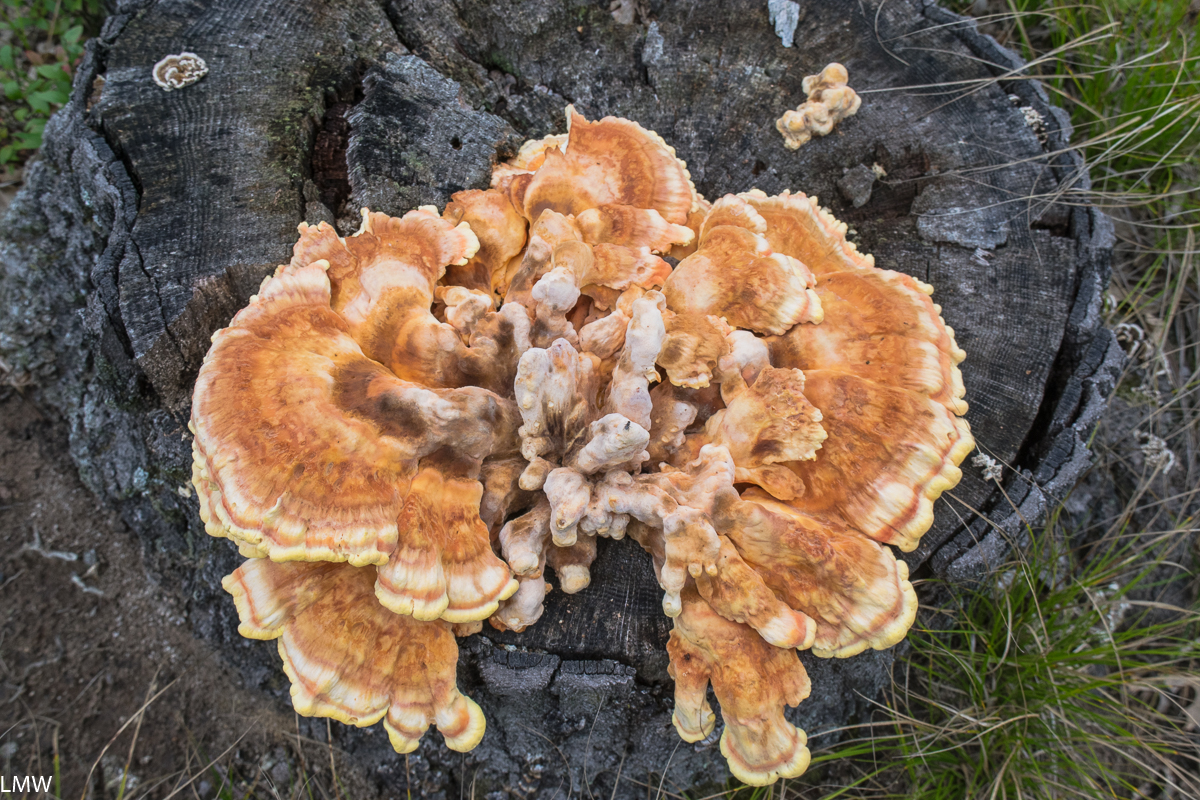
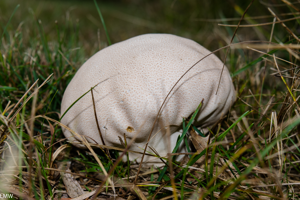
The fungi on display were stunning. We also found evidence of deer and raccoons wandering through or near our campsite. On the trails we spotted dragonflies, monarch butterflies and caterpillars, legless lizards, frogs, earthworms, grasshoppers, woodpeckers and songbirds.

Image of toad at Buckhorn State Park.
Our dear old friend, Bufo Americanus.

Buckhorn has about 10 miles of hiking trails available. Firewood and ice are available at the ranger’s station, and it offers enormous opportunities for relaxation in a secluded environment. The carts are a nice amenity for the hike-in sites and the trails are beautiful, flat and easy to navigate (but the signage could be clearer on some.) Overall, it’s an excellent little park and a great place to get lost in for a few nights.

Image of fishing pond at Buckhorn State Park.
Buckhorn State Park keeps a little fishing pond stocked for kids on the north end of its park.

The fungi of Buckhorn State Park

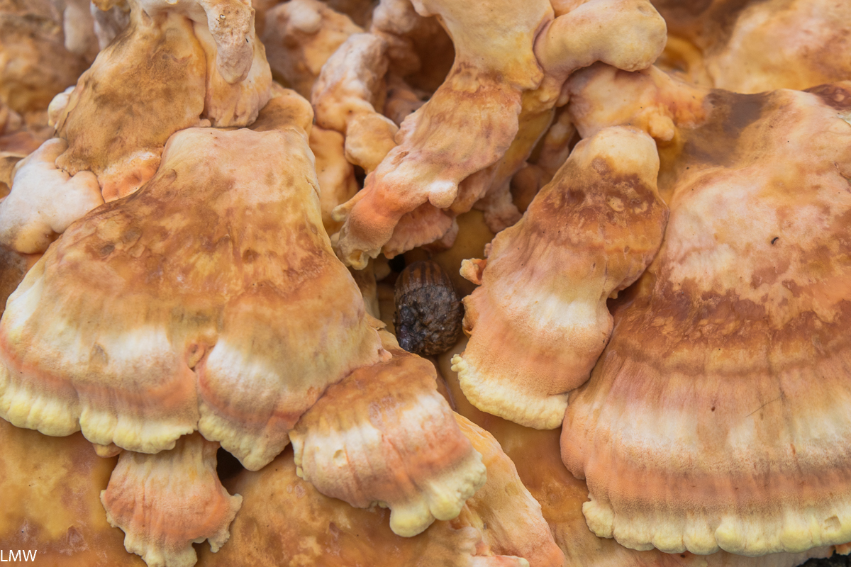
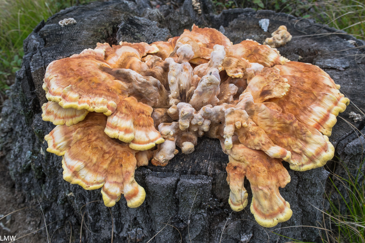
Over on my Instagram (@ThirdCoastHikes) I’m doing a celebration of all the mushrooms that I saw while I was staying at Buckhorn State Park outside Necedeh, Wisconsin. I stayed there for four nights, two of which saw pretty heavy rains. I probably spent a solid 24 hours in my tent due to the rain. I read every page of every book I brought and it was excellent. Apparently, it was a great day for fungi, because the variety and sheer quantities of mushrooms that I saw were a mycologist’s dream. I’m sharing details on each of these beauties over on my Instagram, but you can also check me out at iNaturalist and help me identify all the stuff I find.

Camp Thunderbird Day Trip: Matthiessen State Park, April 20, 2019

Inside the canyon on the path towards the Giant’s Bathtub.

I grew up in a small town in Central Illinois. Objectively, I can see how people get the impression that Illinois is a flat place. Mostly that’s because it is. Anyone who is committed to that perception hasn’t been to Matthiessen State Park.

Not even one of the more noteworthy waterfalls, tbh.

Matthiessen is located adjacent to the city of Oglesby, which is across the river from LaSalle, which butts up against Peru, which is just a hop-skip-and-a-jump away from Spring Valley, where I am from and most of my family still lives. As a result, I don’t get to visit the big parks in the region all that often. When I do visit my time is usually tied up with family stuff. We were able to carve out a few hours during Easter weekend to go hiking in Matthiessen State Park.  

The water levels were okay but on the high-ish side when we were there. Anytime of you that you visit you should be prepared to hop rock-to-rock across the water. It can be a real test of agility.

The Giant’s Bathtub from within a nearby cave. Please be respectful when visiting this site, previous visitors have marred the sandstone with carvings. The concrete bridges and stairs over these canyons were constructed before it was donated to the state, so the state preserves them for accessibility within the park and as part of its historic character.

Matthiessen is one of a handful of excellent parks in that corner of the state. Most people are aware of Starved Rock State Park, which attracts nearly 3 million visitors each year, putting it among the top most visited parks in the entire United States. Matthiessen is a few miles south of Starved Rock, and for most of my childhood was known as a local’s secret. Well, that can’t possibly be true any more because nearly 600,000 people visited Matthiessen State Park last year. (Sorry Illinois Valley Folks, your secret’s out.) There’s also Buffalo Rock State Park if the other two are all too crowded for your tastes. There are 5 miles of hiking trails at Matthiessen State Park, and another nine miles of mountain biking and equestrian trails.

Those bluffs tho. <3

Matthiessen State Park is a stunning example of waterfalls, sandstone cliffs and dells. The park is centered on a stream that flows out of Matthiessen Lake and into the Vermilion River. Over time, the stream has eroded the sandstone leaving big drops, rock formations and huge waterfalls. The largest of which is Cascade Falls, which empties directly from the lake into the beginning of the Lower Dells 45 feet below. Minerals in the water discolor the rocks, and mineral springs attract deer seeking out salt to lick.

Visitors should prepare for a lot of rock hopping any time of year when visiting Mattheissen State Park. The water levels were not particularly high on this particular Saturday, but during flooding (especially in the spring and fall) it can be a very soggy hike.

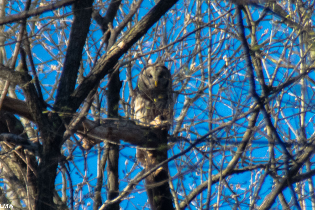
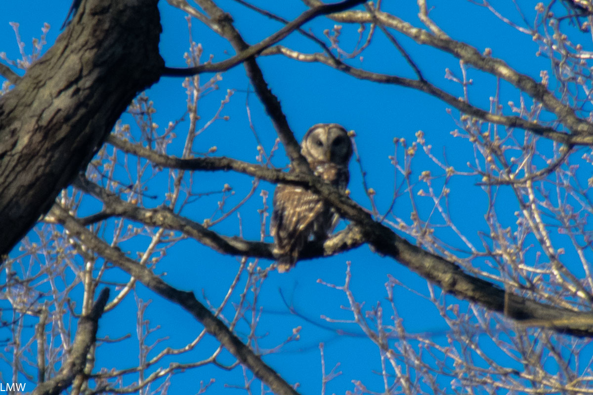
The bottoms of the canyons are notably cooler and provide a habitat for mosses, liverworts, ferns, salamanders, frogs and toads. From the tops of the canyons visitors will find black oaks, red cedars and white oaks, as well as the Canada yew and Canada mayflower, which are usually found much further north. Look up from the canyon floor and you’ll probably catch a glimpse of cliff swallows that make their nests in the eroded canyon walls. I got a good look at a beautiful, big barred owl while we were hiking. He saw me, and he was clearly not impressed. (The feeling was not mutual because I was extremely impressed.)

A handsome barred owl who did not care at all for me.
THAT’S TOO BAD BUDDY BECAUSE I’M A BIG FAN OF YOU.

History:
Frederick William Matthiessen was a German immigrant, philanthropist, industrialist and Mayor of LaSalle, Illinois. He was born in the Hamburg and attended the Freiberg University of Mining and Technology. (There he met met Edward C. Hegeler, a fellow engineering student studying mining.) Matthiessen and Hegeler became pals and immigrated to the United States together in 1856 and set up their zinc smelter on the banks of the Little Vermillion River in LaSalle. They broke ground on their plant on Christmas Eve 1858, which was a problem because the demand for zinc kind of plummeted until 1861 when the Civil War broke out. The following year the arms industry boomed, driving up demand for zinc. Eventually the organization would expand its portfolio to include rolling mills, coal mines, machine shops and what would eventually become the Westclox Company (but that’s a whole different thing.)

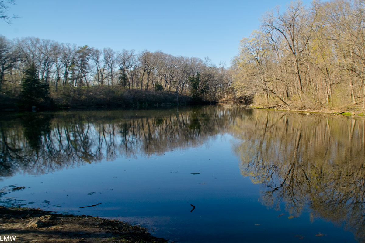
Mattheissen Lake, from which the stream feeds down the canyons and into the Little Vermilion River.

So Frederick Matthiessen was a pretty notable figure for where and when he lived. He was also more than very wealthy. The parcel of land that is now known as Matthiessen State Park started off as the Matthiessen family personal estate. During his life there were two mansions, several cottages, a garage, and a private fire station constructed on the 176 acre property. The private park was previously called Deer Park, and his heirs donated the land to the state following his death in 1918. The park was renamed after him in 1943. Today parcels have been added and the park is nearly 2000 acres in size. All the original homes and buildings have since been destroyed, but the concrete bridges and walkways that adorn the canyons were constructed during his lifetime.

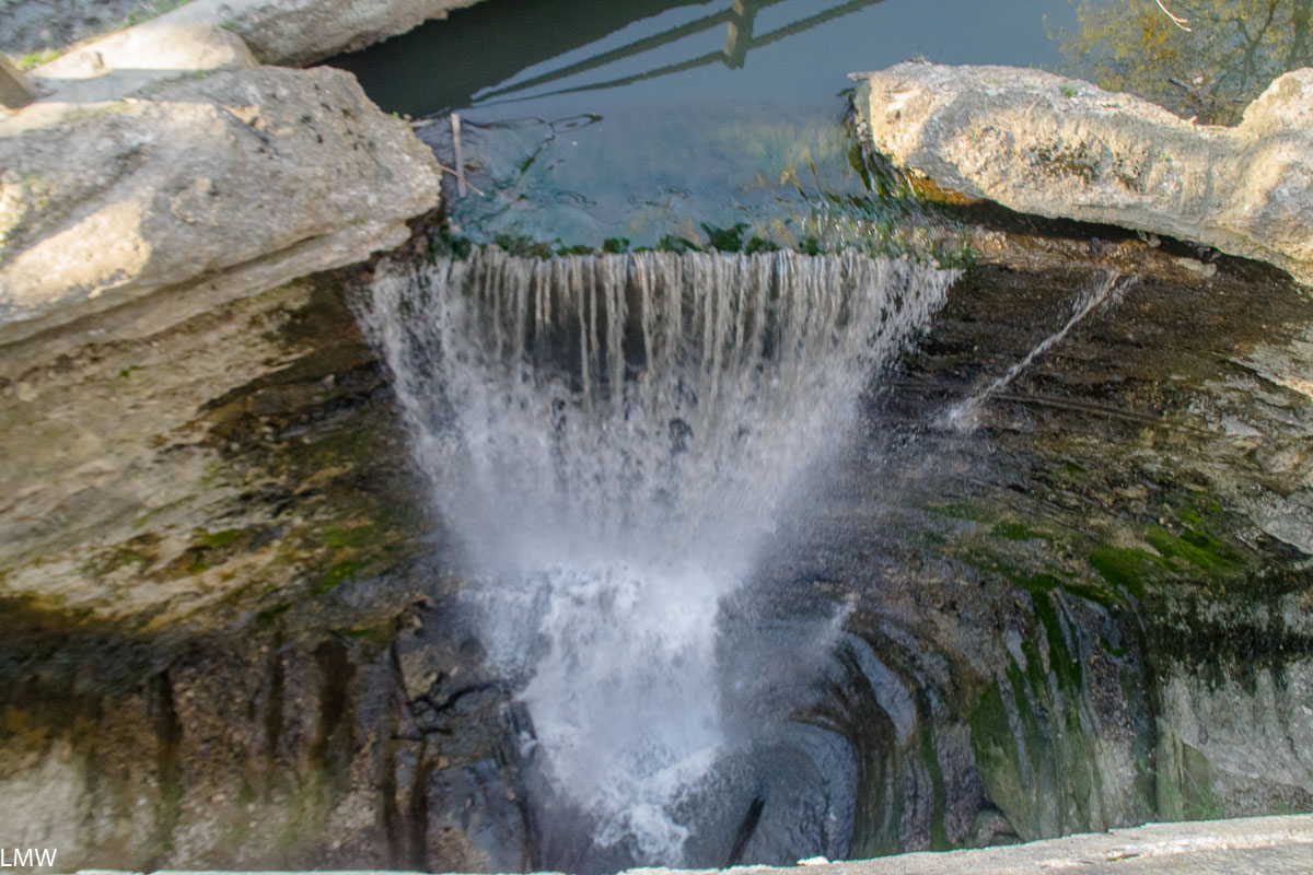
Cascade Falls, from above, the tallest fall in the park at 45 feet high.

Future:
The Vermilion River and the Little Vermilion River are two of Illinois’ most scenic natural waterways. Last year a huge parcel of land was donated to the state by its owner Buzzi Unicem, a cement manufacturer. The land has been in the company portfolio for decades, and at this point they’ve probably removed all the minerals they can extract from the land, BUT OKAY. Point is, this particular stretch of land will add 2,629 acres of native, protected land to the Illinois State Park system. The added land will connect both Starved Rock and Matthiessen. This donation will also protect Illinois’ only natural river rapid. (We’ve got one!) Seriously, canoeists will want to put this one on their radar, paddling that stretch of river is amazing. The Illinois Department of Natural Resources is currently planning to restore forest, prairie and wildlife habitats as well as develop trails, a campground, picnic areas and canoe and kayak access. Other recreational opportunities will include skiing, fishing, hunting and horseback riding. This is all just excellent news for the parks in the area, I just want to see the state dedicate the finances it needs to support Starved Rock, Matthiessen and Buffalo Rock state parks. They’re gems.

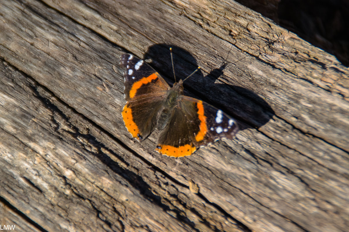
A red admiral. <3
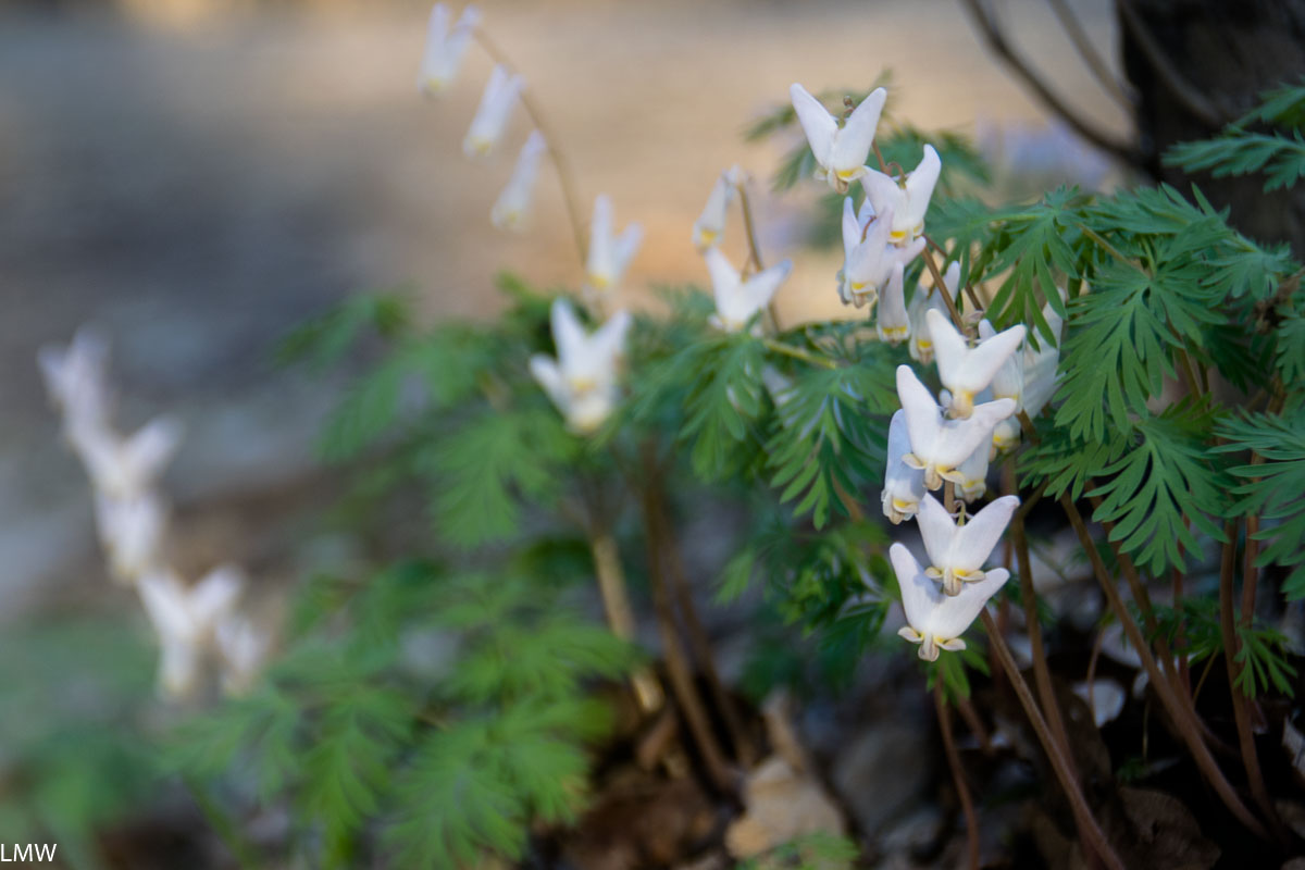
Dutchman’s Breeches, a charmingly shaped, hilariously named, native floral to the region.

Myakka River State Park, Florida

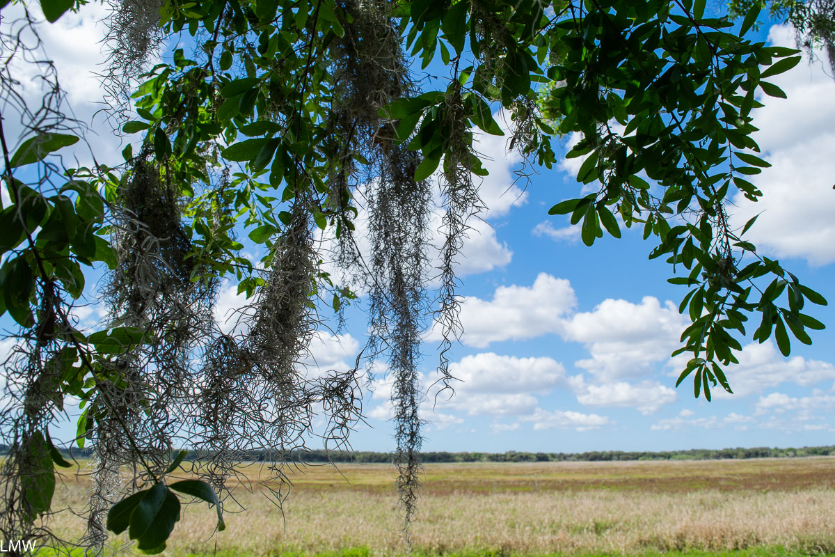
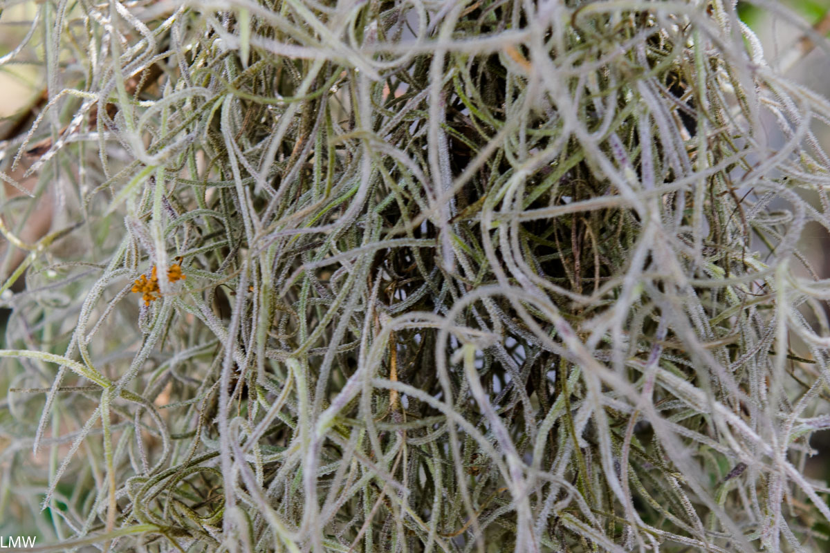
Spanish Moss at Myakka River State Park, Florida

Name: Myakka River State Park
Location: 13208 State Road 72, Sarasota, FL 34241

Size: 37,000 acres, 14 miles of Myakka River itself within the park, 38.9 miles of nature trails including a canopy-level suspension bridge available to hikers and researchers
Created: Myakka River State Park is one of the largest and oldest parks in Florida, it was delineated in the 1930s by the Civilian Conservation Corps
Activities: Hiking, biking, backpacking, camping, bicycling, birding, canoeing and kayaking, boat tours are very popular here
Pros: Stunning wildlife, big skies, remote camping, excellent birding, great hikes
Cons: Can be crowded and busy around the visitors center, try to get there early in the day if you plan on taking a boat tour as the wait can get quite long

Camp Thunderbird Vitamin D Intensive Excursion

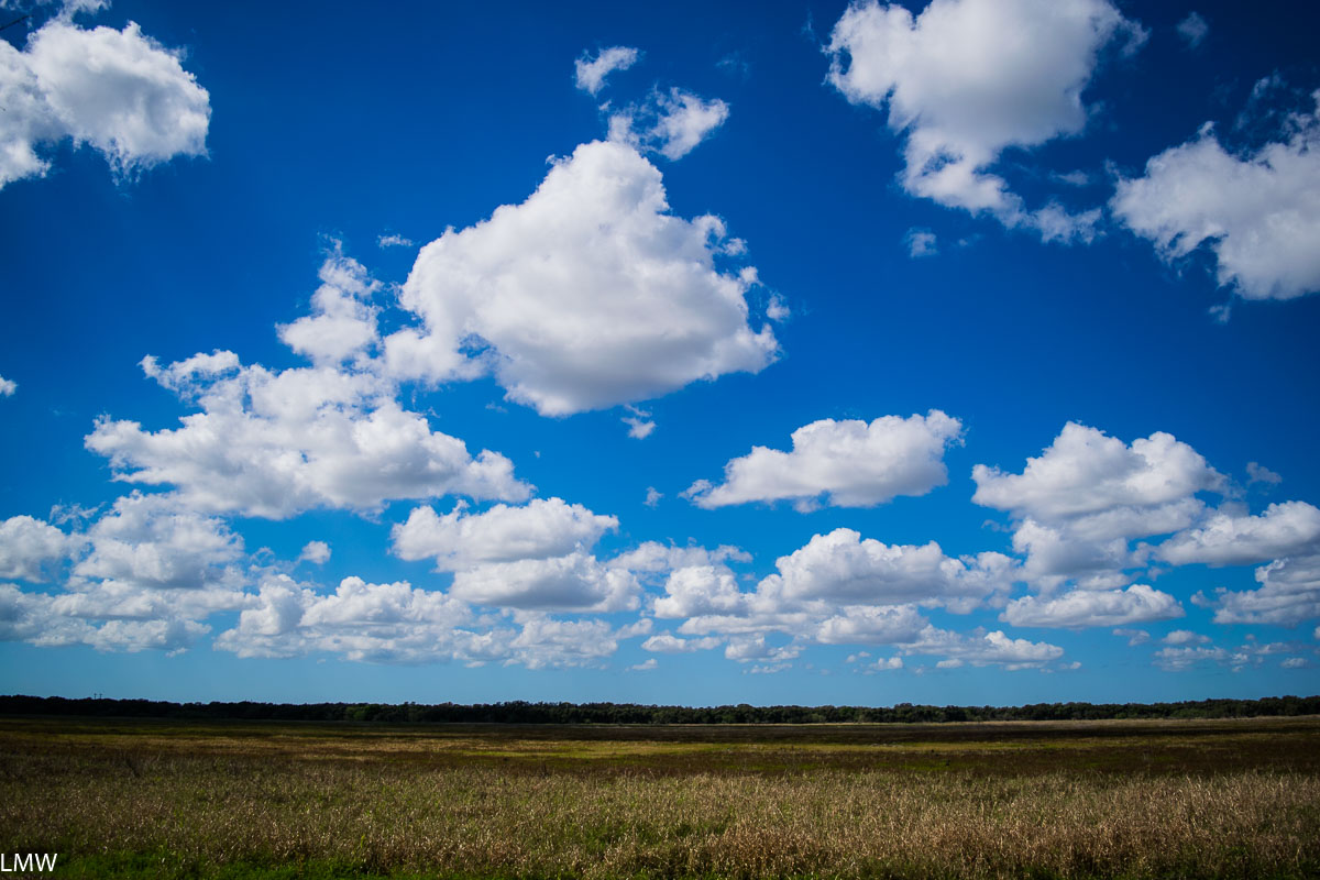
I’m a sucker for big skies.
 ¯\_(ツ)_/¯

Dave and I boarded a plane to Sarasota last February to visit his retiree parents in Florida. Normally, when we head down there our trip tends to overlap with spring break so we coordinate with his brother’s kids’ school schedule. That year, we weren’t able to make it happen, so Dave and I went down over Presidents’ Day Weekend.

Air plants are super cute, you guys.

Retiree vacation is awesome, you guys. Florida trips with kids tend to revolve entirely around the kids and their schedules and their needs. And that’s all fine and good, sure. But a couple of thirtysomething adults hanging out with a couple of sixtysomething adults, operating on their sixtysomething schedule is the life, man. Wake up around 8 or 9 a.m. Get mad at the news. Eat some breakfast. Go kayaking for an hour or so. Then lunch. Then naptime, or reading for a while. Maybe you’ll visit the beach in time for sunset. Maybe your parents’ retired friends brought enough daquiris to share on the beach. Then you eat a half rack of ribs, drink a glass of wine with an ice cube in it and go to bed at 9:30 p.m. Retiree life is great.

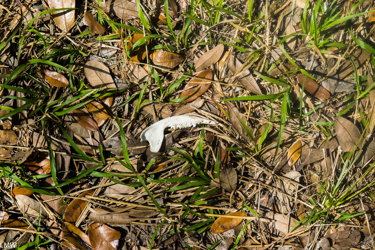
Some kind of toothy critter. Raccoon maybe?

Dave and I did take one day to go on a nice, long hike as long as we were in Florida in February which is the ideal season for hiking down there. Temperatures hung around 80 degrees. There were no pesky bugs. The sky was clear and blue and big. We chose Myakka River State Park because we could drive there in about 45 minutes from where we were staying and because we could get probably an 8 or 9 mile hike in. That’s long enough to take all day, but not long enough to totally exhaust you. We were on vacation, after all.

Bee Island.

There was very little planning done between deciding on Myakka River and deciding on which trail in the park. There are almost 40 miles of trails in the park, many of them leading to remote, primitive campsites. This would be an ideal place for wintertime backpacking, if someone wanted to spend a night on a dry prairie possibly surrounded by Florida panthers.

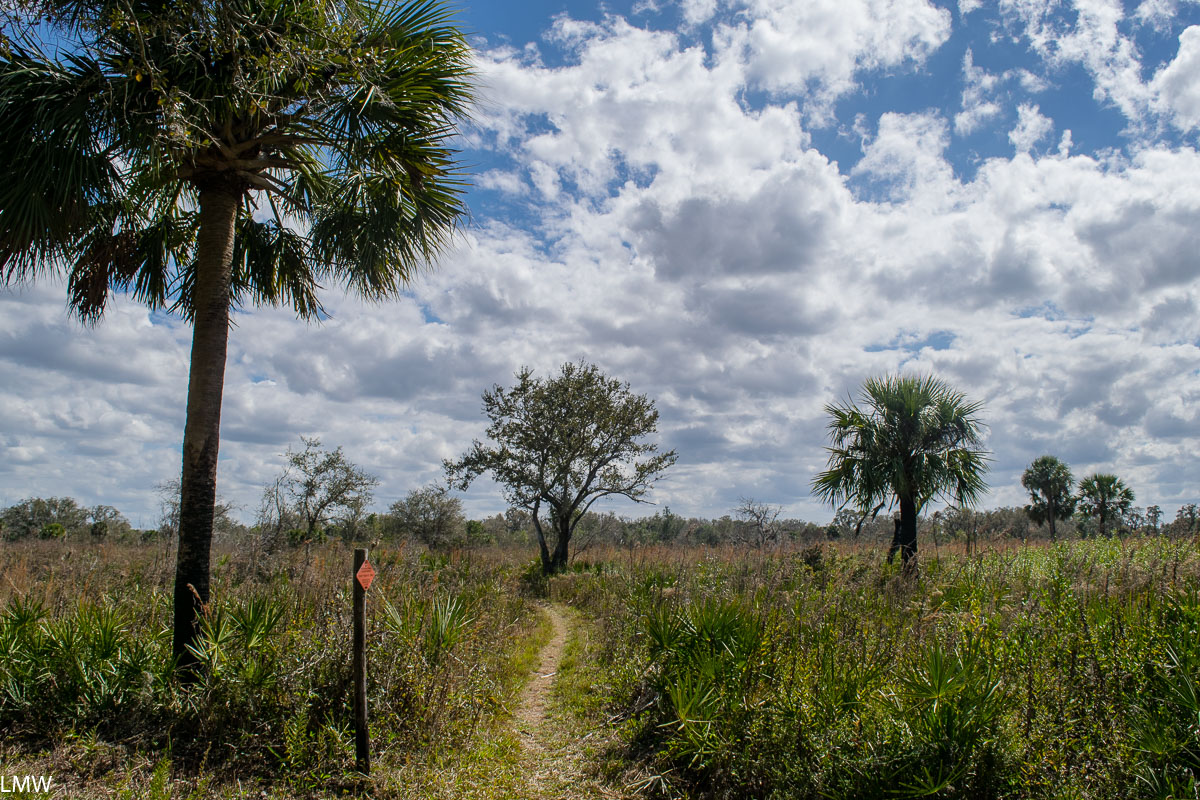
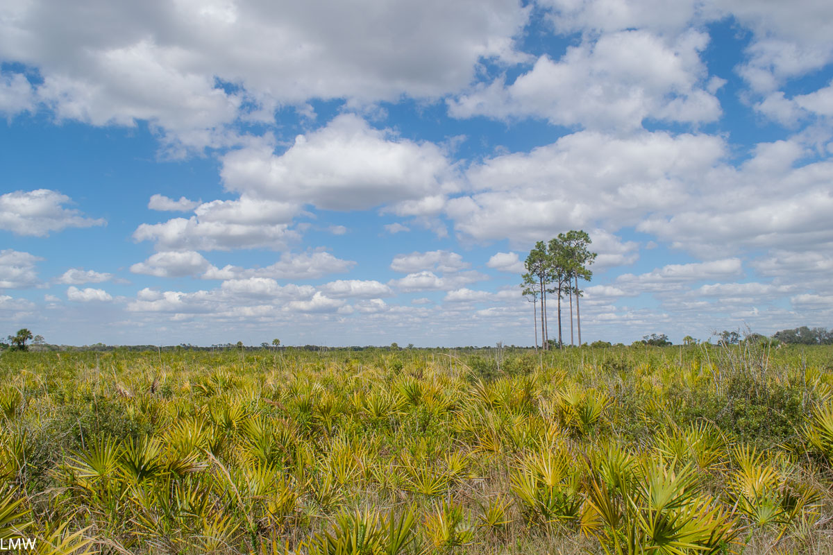
If Florida still looked like this everywhere, we’d probably all be in better shape.

We arrived at the Visitors Center, got the lay of the land, and chose to leave our car parked in the main lot by the lake while we hiked to Ranch House Road, past Bee Island and then around the dry prairie for a while until the sun began to wane.  

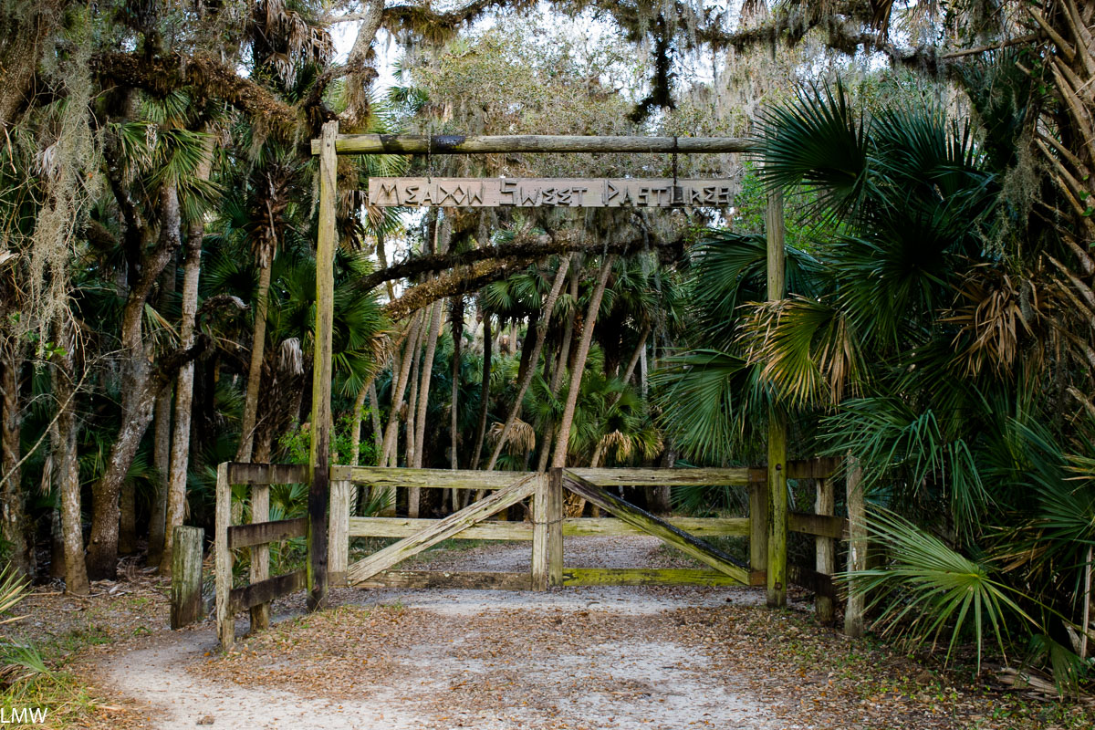
The entrance to Ranch House Road.
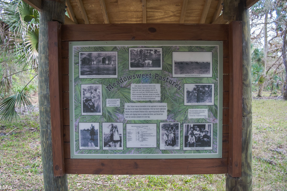
A marker where the ranch house the road was named after used to be.

The wildlife at Myakka River State Park is stunning. We saw huge flocks of ducks, herons, ravens, Ibis, egret and probably others I didn’t recognize. As we were driving in, Dave noticed a rather large ground snail right in the middle of the paved road and navigated around so he didn’t run over it. As we were passing, he noticed the nearby raven clearly keeping an eye on things. I’m pretty sure this raven knows that cars crack open delicious snails when they run over them. I’m pretty sure this raven tried to use us a tool. Ravens are really smart, you guys.

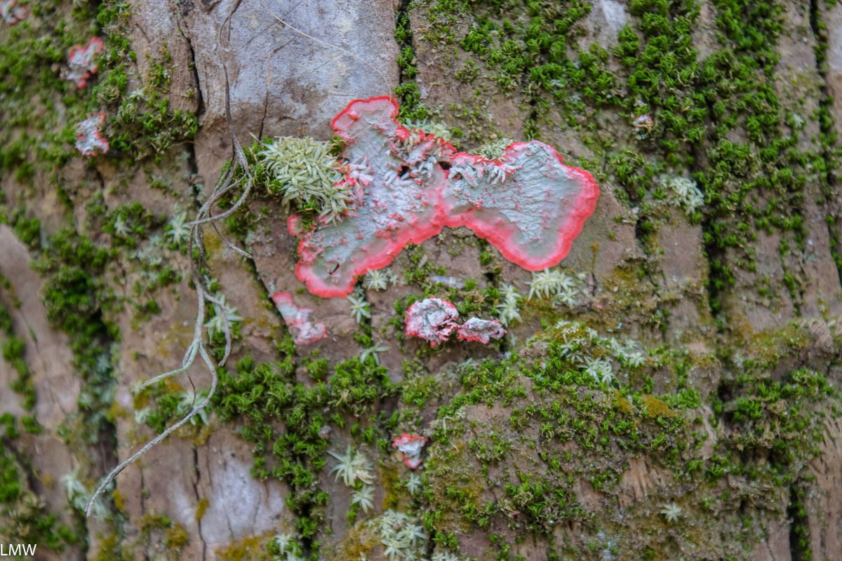
Neon pink lichens.

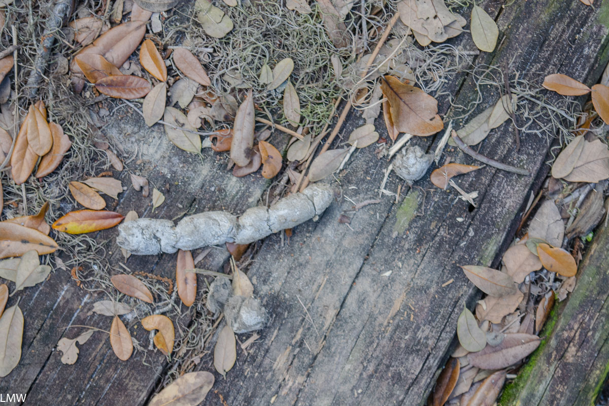
While we were out on the prairie, we saw evidence of what I suspect was the Florida panther. Big cats have been making a comeback in recent years (praise hands emoji) and there have been sightings in the region. The evidence that I saw was a very large, furry scat.

Big cat scat?

Myakka River has two of what they claim are the world’s largest airboats. That’s probably true, I didn’t investigate. We arrived shortly after noon to find a Visitors Center bustling with bored-looking tourists. I guess the airboat tour is very popular, and I can see why, but no small part of the reason we came to the park was to wander about in the solitude of nature. So we quickly walked away. If you wanted to take the airboat tour, I would recommend arriving early in the day before things get too crowded. We did have ice cream and bought beer coozies in the visitors center, so I can easily endorse ice cream and beer coozies.

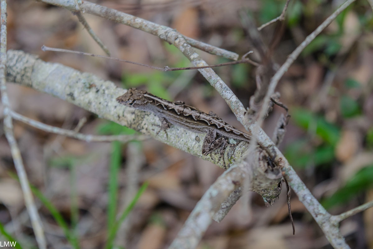
A handsome anole.
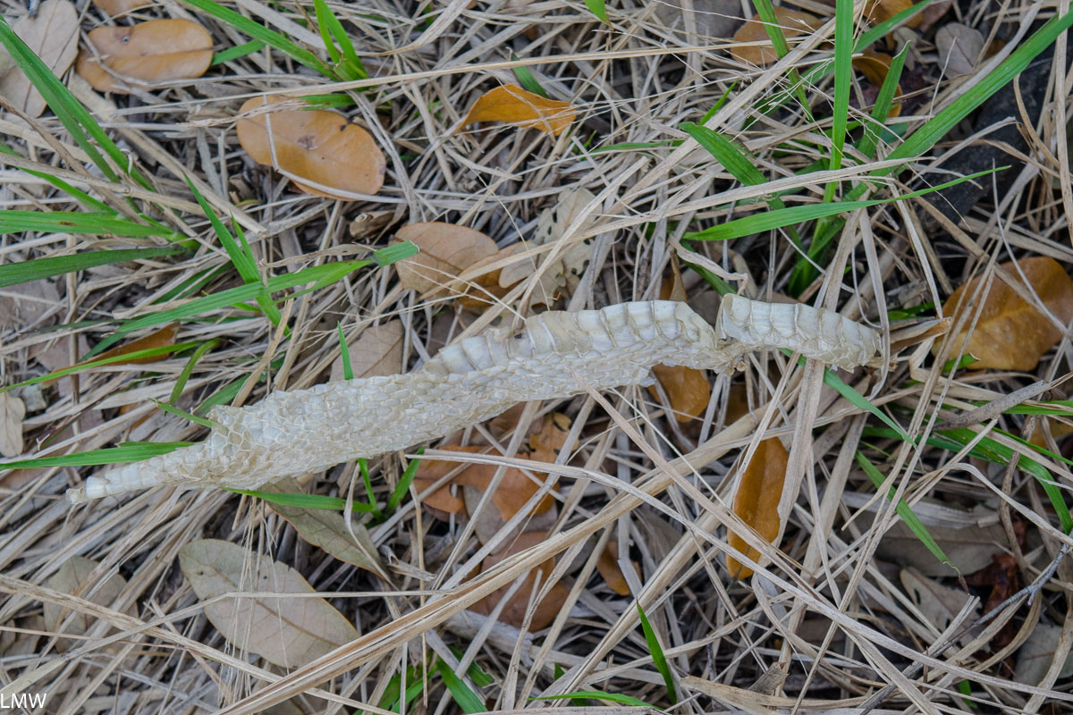
Snake sheds.
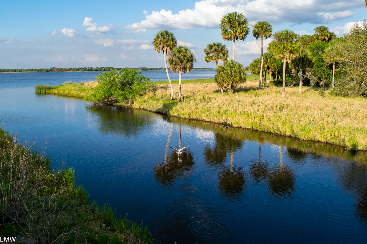
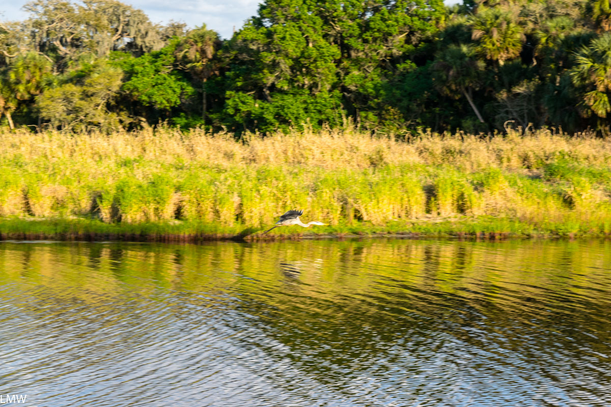
I mean, herons are pretty much the most gorgeous birds that ever was.

(Also they totally look like dinosaurs.)

Wildlife spotted:
Anole, Black vulture, Blue heron, Crocodile, Ground dove, Tricolored heron, Snowy Egret, Red-Shouldered hawk, Coconut palm, Spanish moss, Cabbage palmetto, waterlilies, asters, ferns


Go ahead you earned it, boo. #selfcare