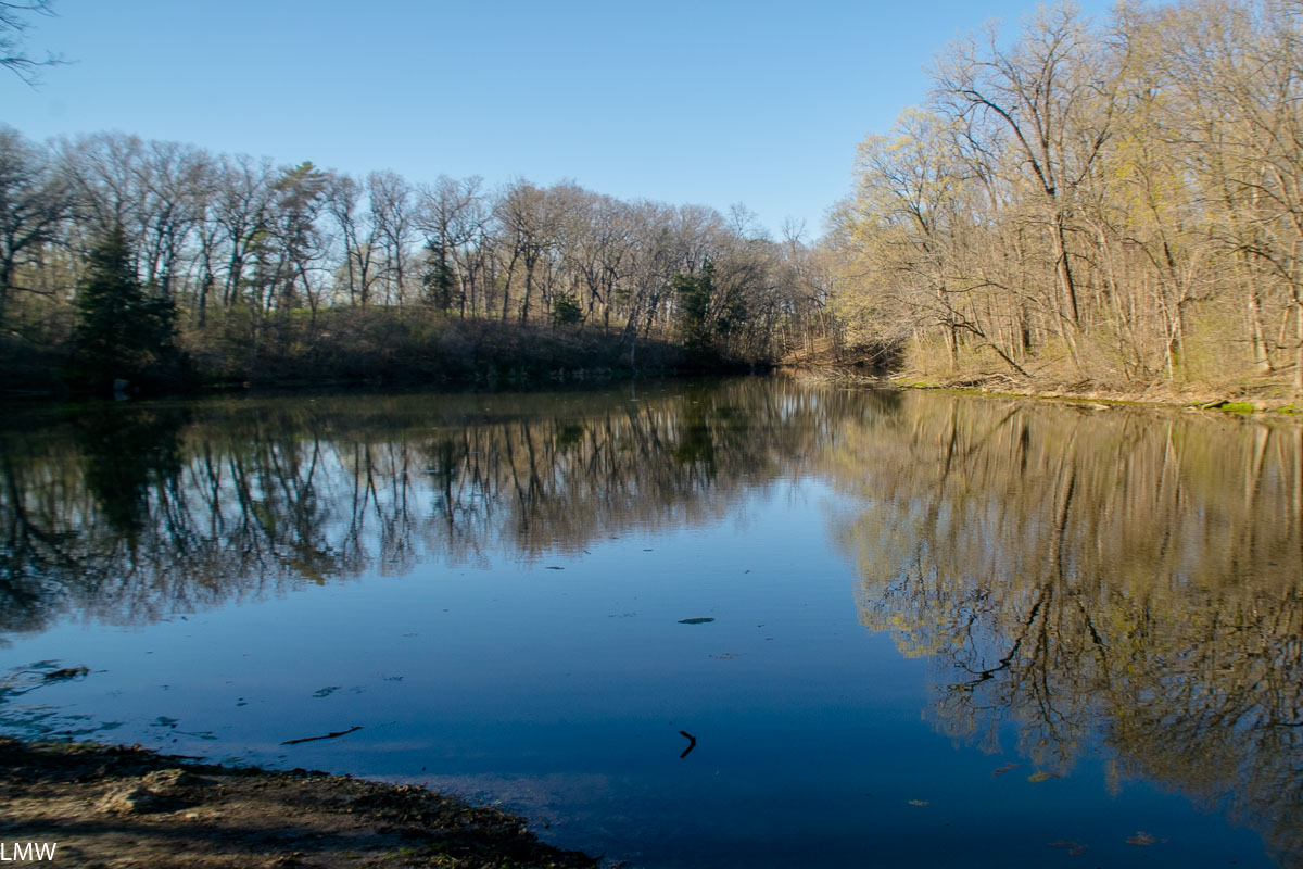
I grew up in a small town in Central Illinois. Objectively, I can see how people get the impression that Illinois is a flat place. Mostly that’s because it is. Anyone who is committed to that perception hasn’t been to Matthiessen State Park.
Matthiessen is located adjacent to the city of Oglesby, which is across the river from LaSalle, which butts up against Peru, which is just a hop-skip-and-a-jump away from Spring Valley, where I am from and most of my family still lives. As a result, I don’t get to visit the big parks in the region all that often. When I do visit my time is usually tied up with family stuff. We were able to carve out a few hours during Easter weekend to go hiking in Matthiessen State Park.
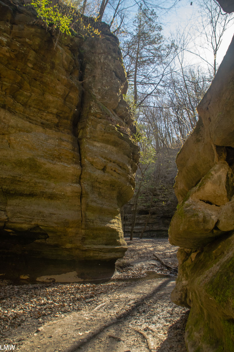
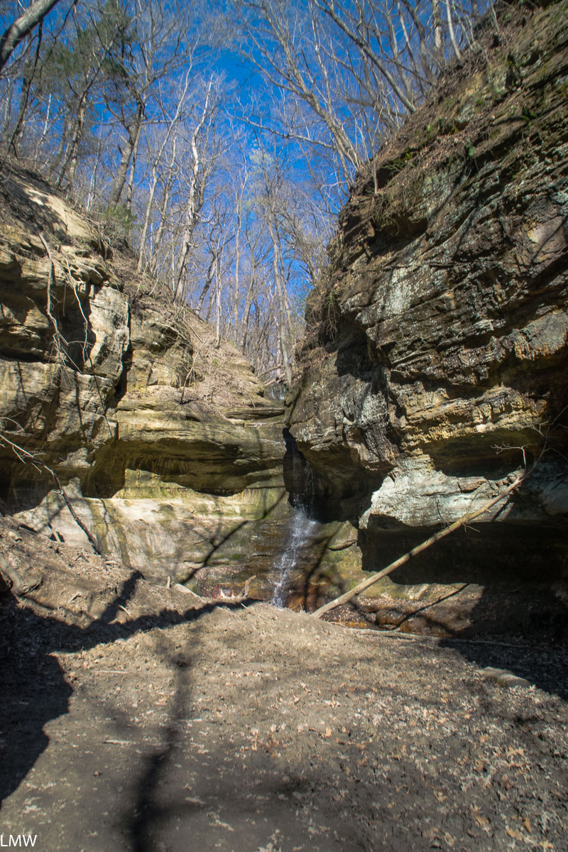
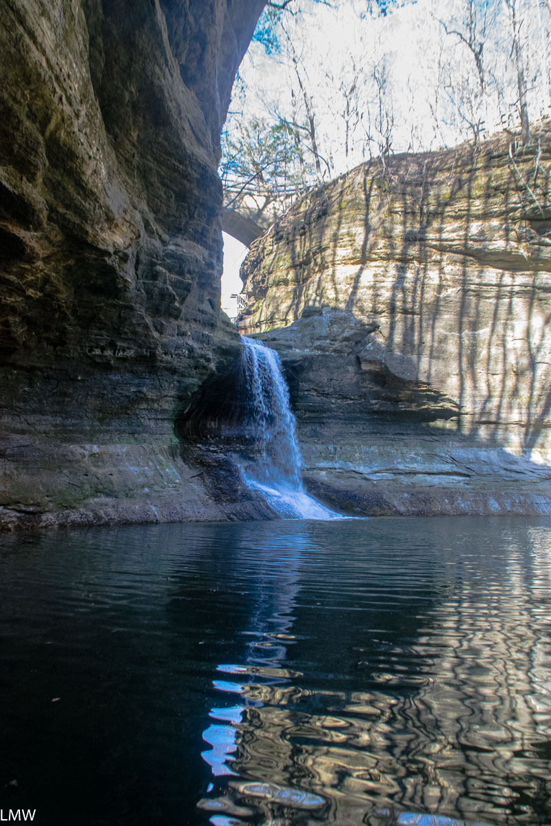
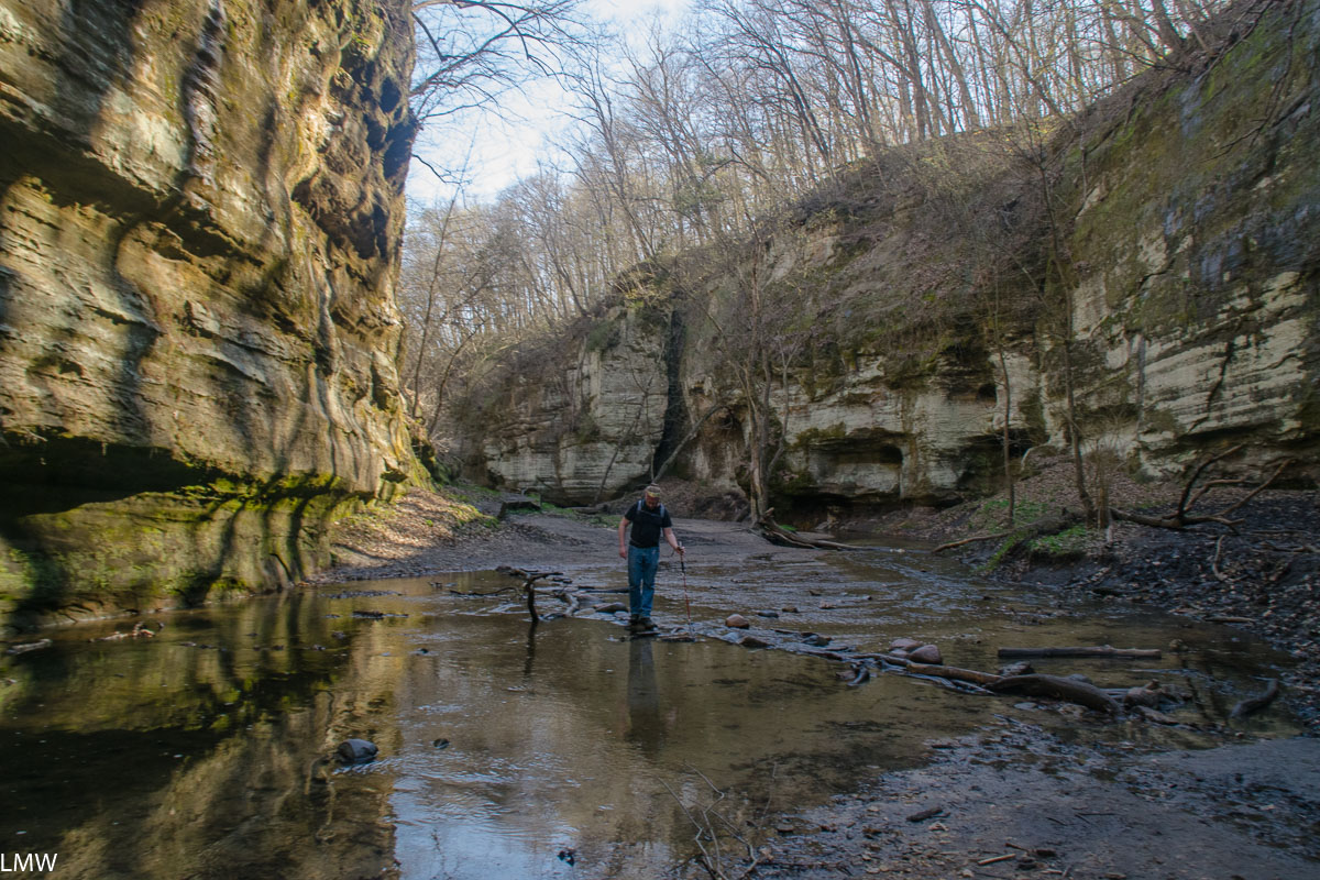
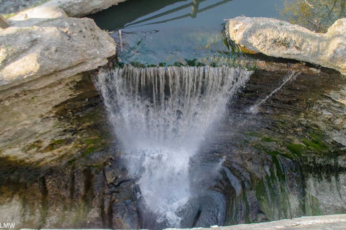
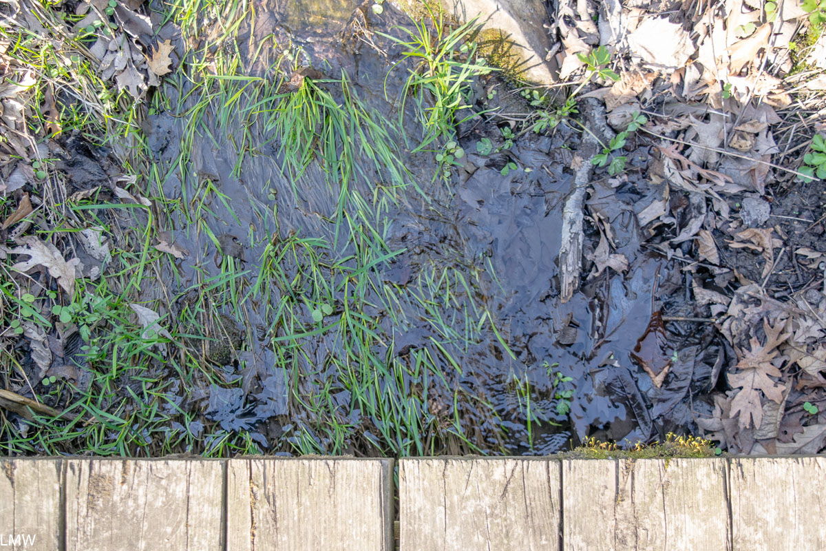
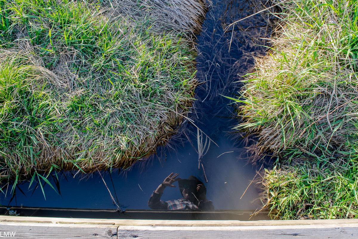
The water levels were okay but on the high-ish side when we were there. Anytime of you that you visit you should be prepared to hop rock-to-rock across the water. It can be a real test of agility.
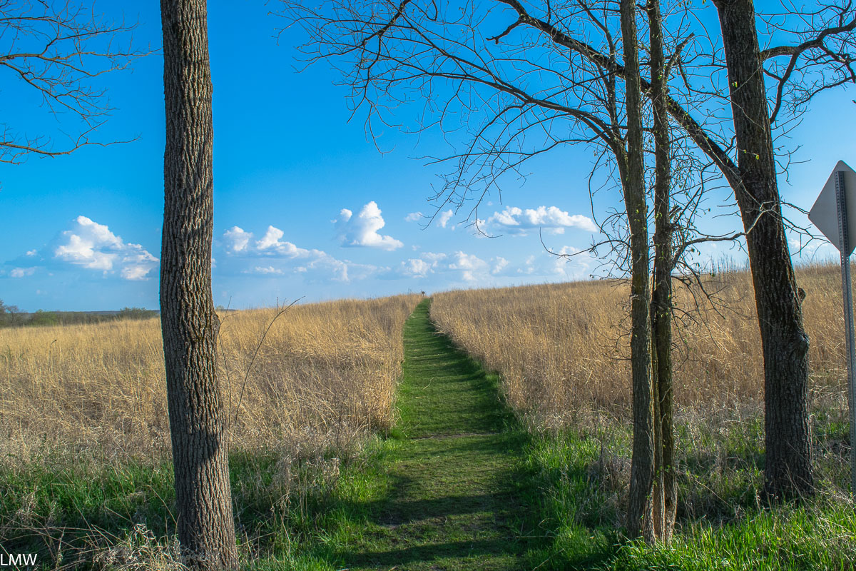
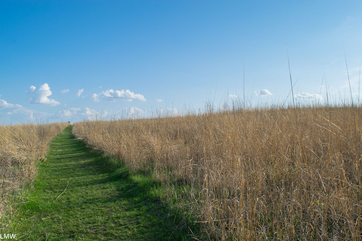
Matthiessen is one of a handful of excellent parks in that corner of the state. Most people are aware of Starved Rock State Park, which attracts nearly 3 million visitors each year, putting it among the top most visited parks in the entire United States. Matthiessen is a few miles south of Starved Rock, and for most of my childhood was known as a local’s secret. Well, that can’t possibly be true any more because nearly 600,000 people visited Matthiessen State Park last year. (Sorry Illinois Valley Folks, your secret’s out.) There’s also Buffalo Rock State Park if the other two are all too crowded for your tastes. There are 5 miles of hiking trails at Matthiessen State Park, and another nine miles of mountain biking and equestrian trails.
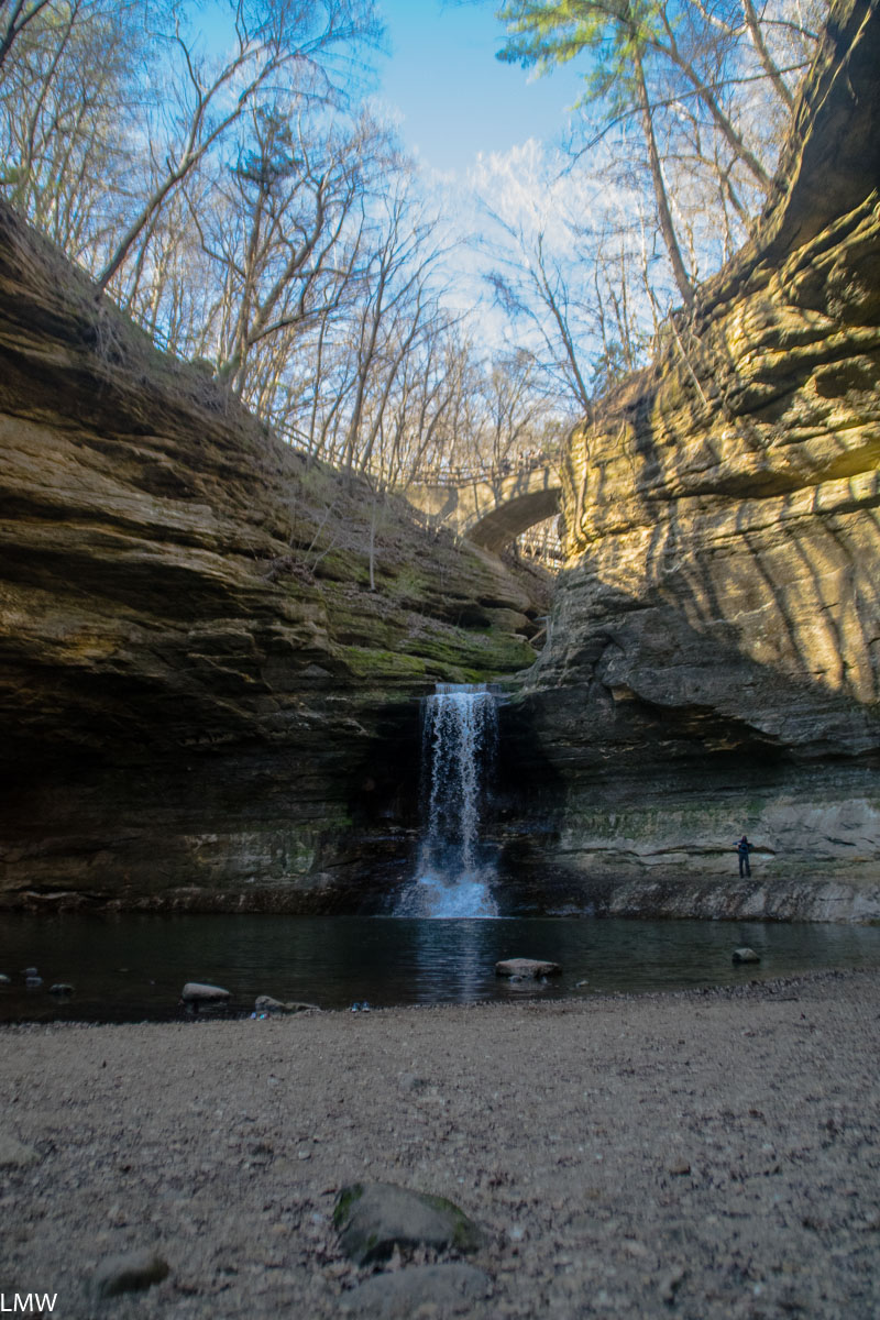
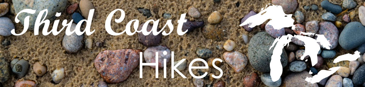
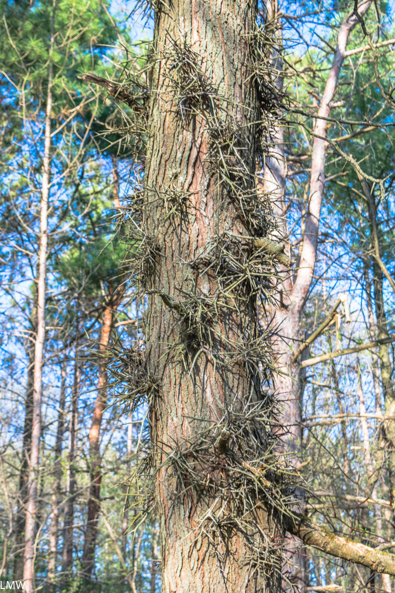
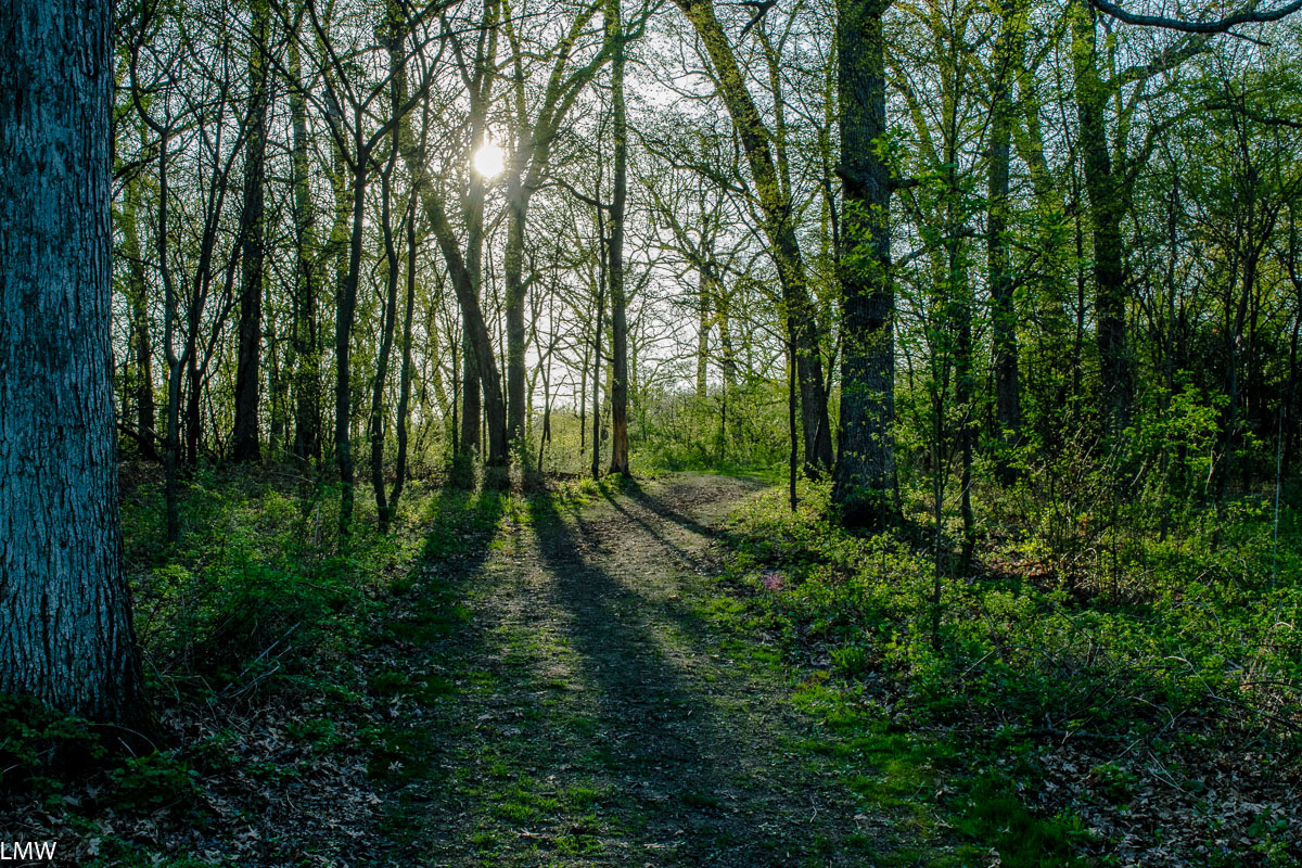
Matthiessen State Park is a stunning example of waterfalls, sandstone cliffs and dells. The park is centered on a stream that flows out of Matthiessen Lake and into the Vermilion River. Over time, the stream has eroded the sandstone leaving big drops, rock formations and huge waterfalls. The largest of which is Cascade Falls, which empties directly from the lake into the beginning of the Lower Dells 45 feet below. Minerals in the water discolor the rocks, and mineral springs attract deer seeking out salt to lick.
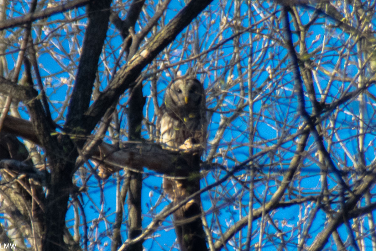
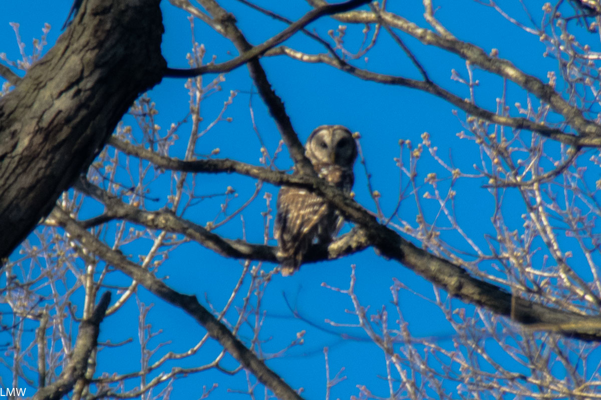
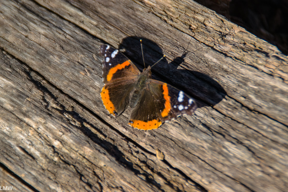
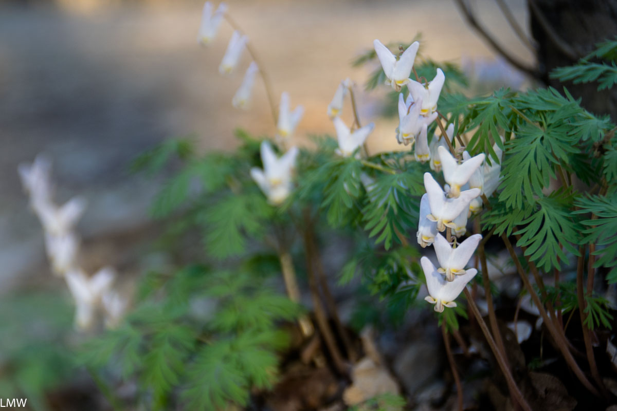
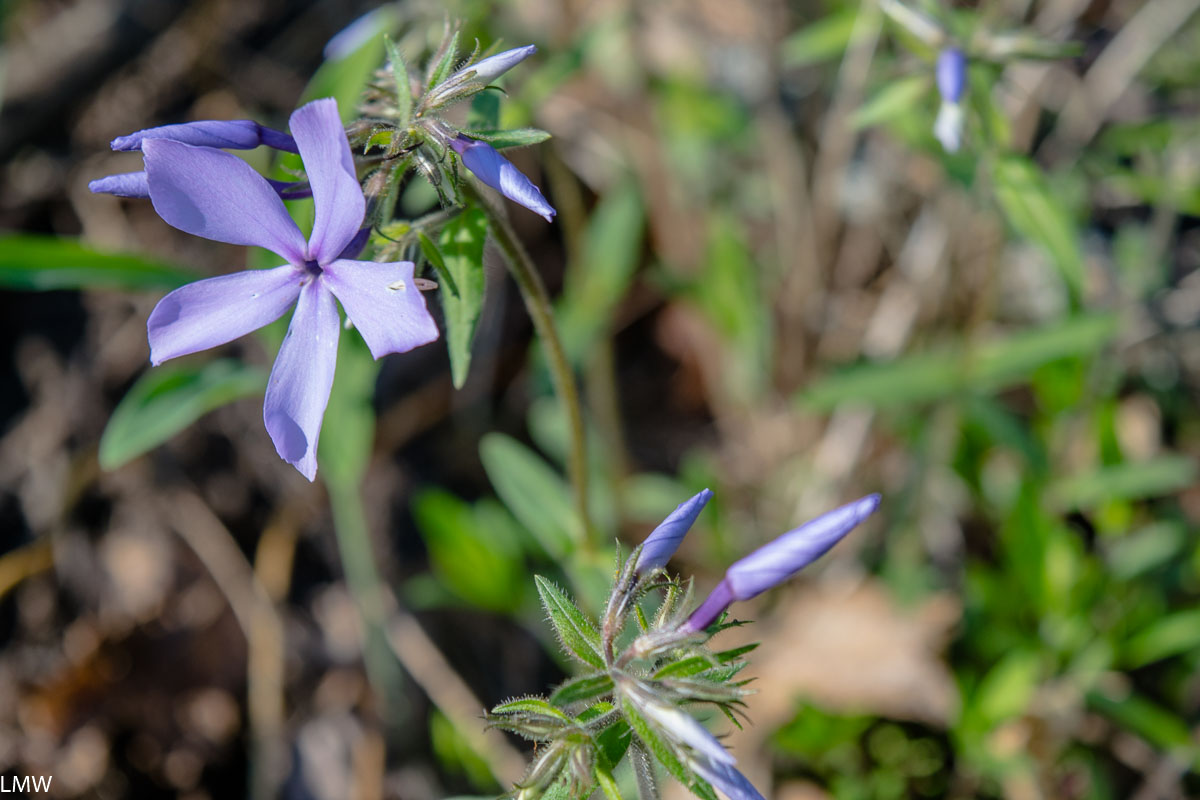
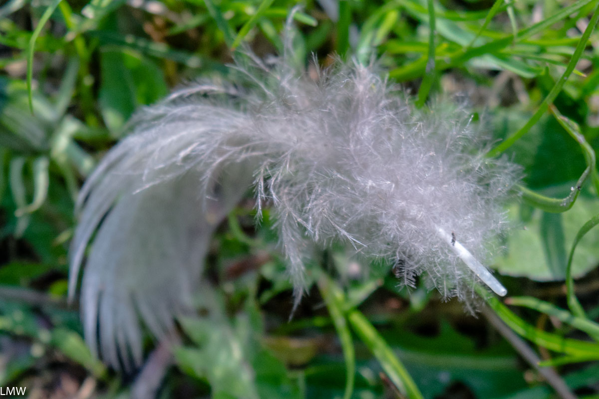
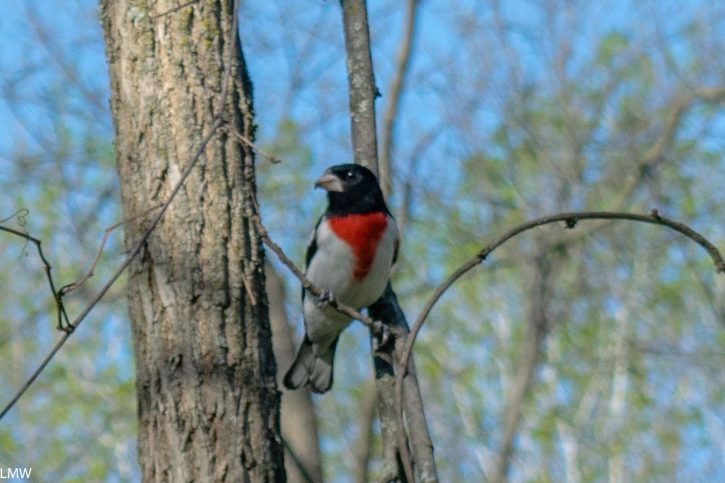
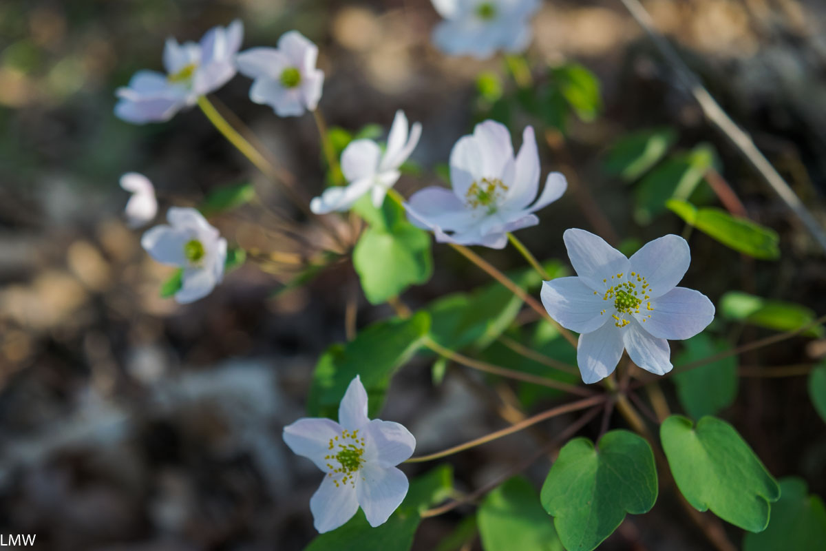
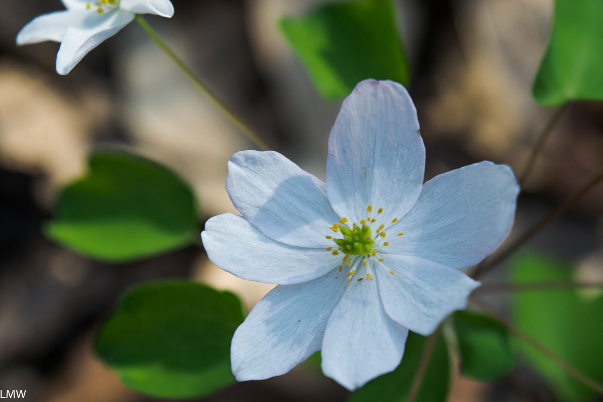
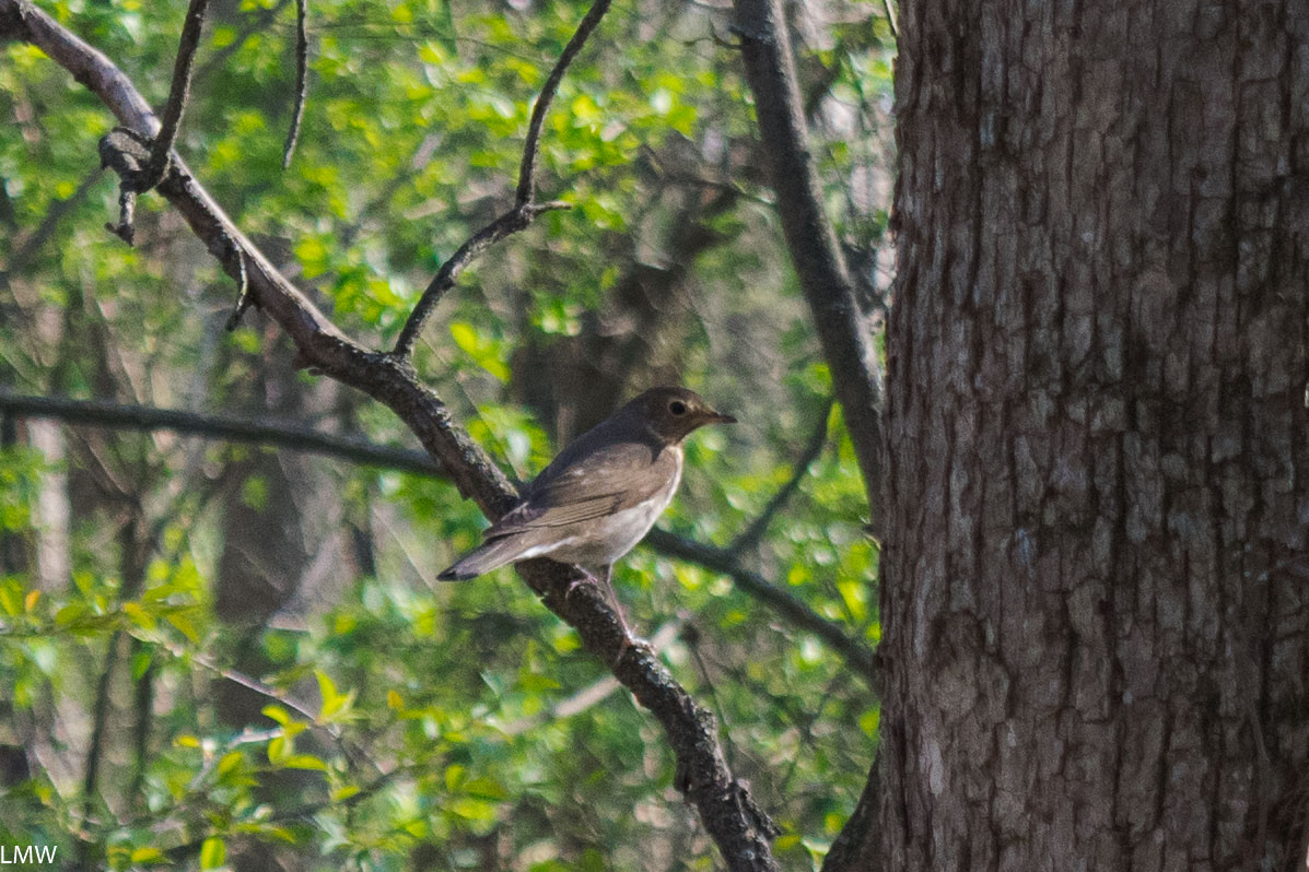
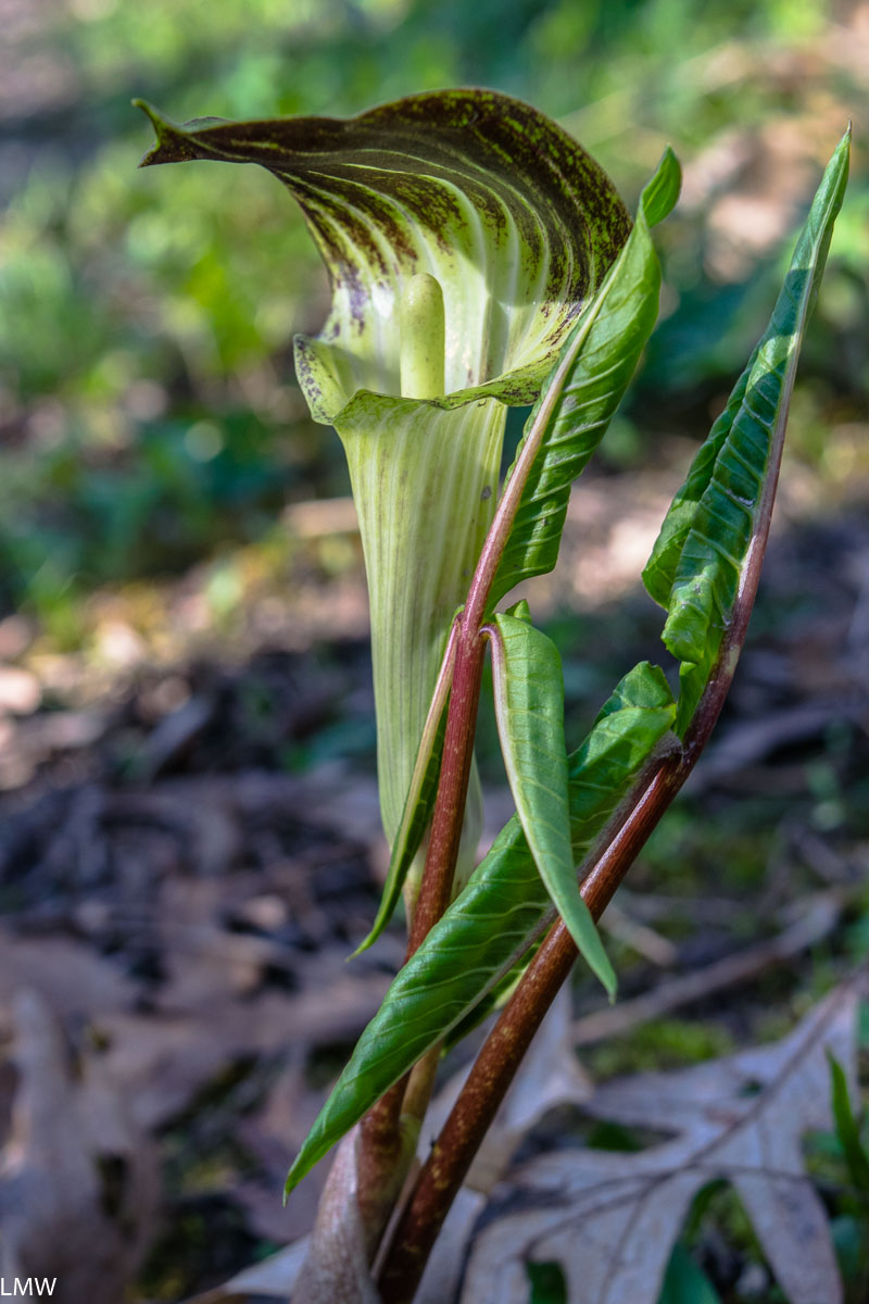
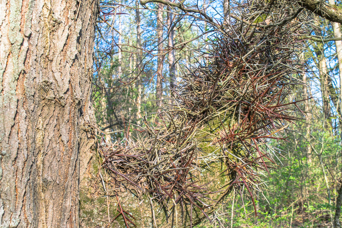
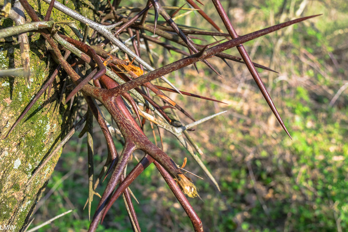
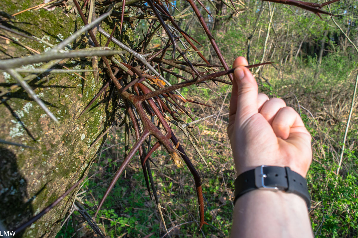
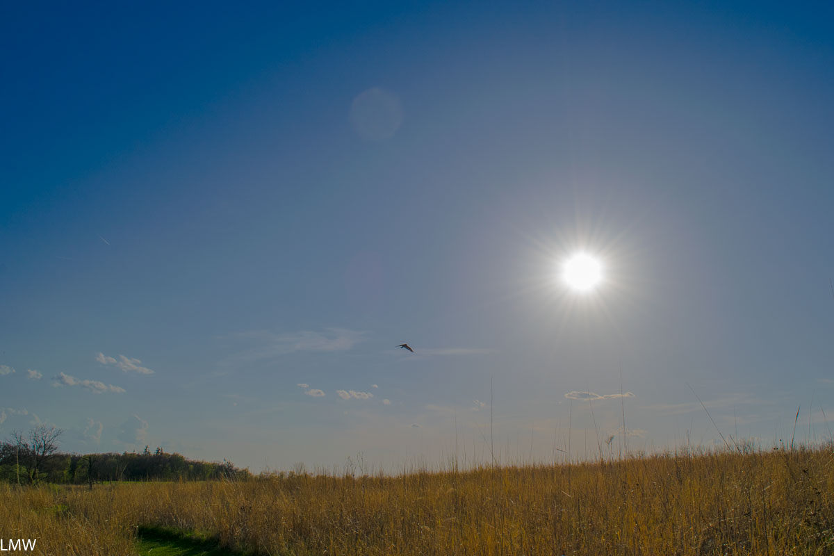
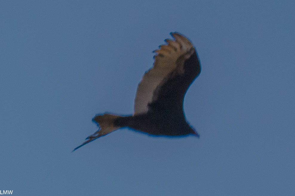
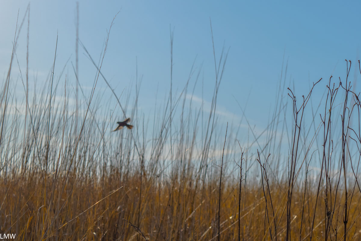
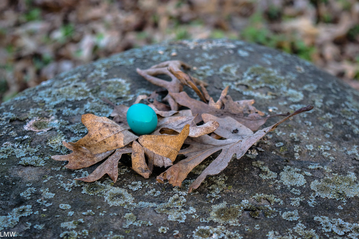
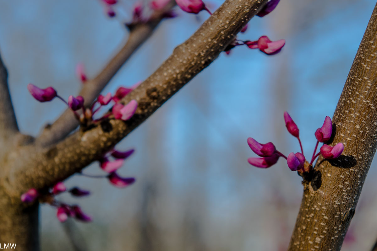
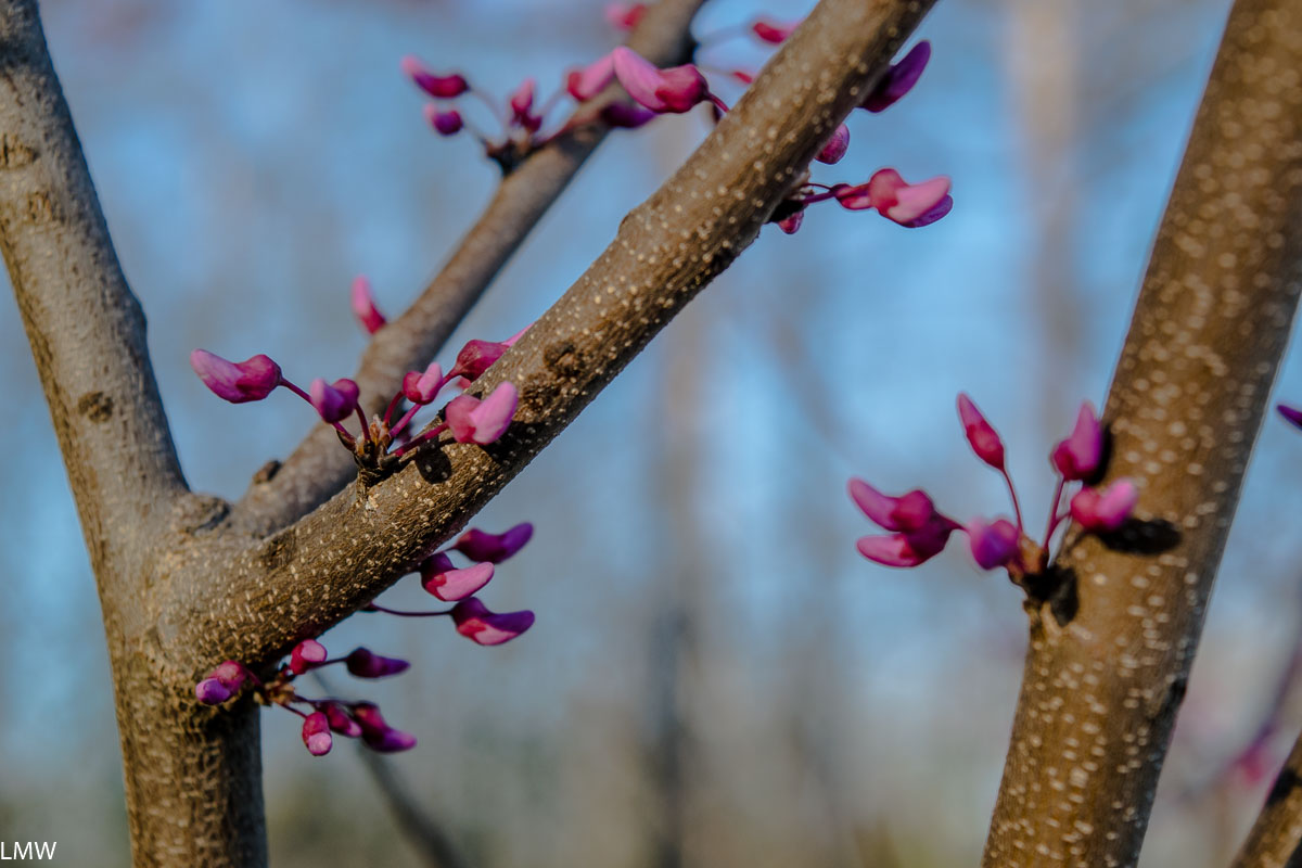
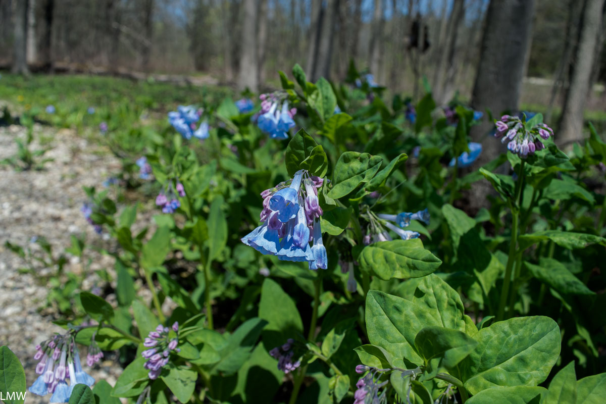
The bottoms of the canyons are notably cooler and provide a habitat for mosses, liverworts, ferns, salamanders, frogs and toads. From the tops of the canyons visitors will find black oaks, red cedars and white oaks, as well as the Canada yew and Canada mayflower, which are usually found much further north. Look up from the canyon floor and you’ll probably catch a glimpse of cliff swallows that make their nests in the eroded canyon walls. I got a good look at a beautiful, big barred owl while we were hiking. He saw me, and he was clearly not impressed. (The feeling was not mutual because I was extremely impressed.)
History:
Frederick William Matthiessen was a German immigrant, philanthropist, industrialist and Mayor of LaSalle, Illinois. He was born in the Hamburg and attended the Freiberg University of Mining and Technology. (There he met met Edward C. Hegeler, a fellow engineering student studying mining.) Matthiessen and Hegeler became pals and immigrated to the United States together in 1856 and set up their zinc smelter on the banks of the Little Vermillion River in LaSalle. They broke ground on their plant on Christmas Eve 1858, which was a problem because the demand for zinc kind of plummeted until 1861 when the Civil War broke out. The following year the arms industry boomed, driving up demand for zinc. Eventually the organization would expand its portfolio to include rolling mills, coal mines, machine shops and what would eventually become the Westclox Company (but that’s a whole different thing.)
So Frederick Matthiessen was a pretty notable figure for where and when he lived. He was also more than very wealthy. The parcel of land that is now known as Matthiessen State Park started off as the Matthiessen family personal estate. During his life there were two mansions, several cottages, a garage, and a private fire station constructed on the 176 acre property. The private park was previously called Deer Park, and his heirs donated the land to the state following his death in 1918. The park was renamed after him in 1943. Today parcels have been added and the park is nearly 2000 acres in size. All the original homes and buildings have since been destroyed, but the concrete bridges and walkways that adorn the canyons were constructed during his lifetime.
Future:
The Vermilion River and the Little Vermilion River are two of Illinois’ most scenic natural waterways. Last year a huge parcel of land was donated to the state by its owner Buzzi Unicem, a cement manufacturer. The land has been in the company portfolio for decades, and at this point they’ve probably removed all the minerals they can extract from the land, BUT OKAY. Point is, this particular stretch of land will add 2,629 acres of native, protected land to the Illinois State Park system. The added land will connect both Starved Rock and Matthiessen. This donation will also protect Illinois’ only natural river rapid. (We’ve got one!) Seriously, canoeists will want to put this one on their radar, paddling that stretch of river is amazing. The Illinois Department of Natural Resources is currently planning to restore forest, prairie and wildlife habitats as well as develop trails, a campground, picnic areas and canoe and kayak access. Other recreational opportunities will include skiing, fishing, hunting and horseback riding. This is all just excellent news for the parks in the area, I just want to see the state dedicate the finances it needs to support Starved Rock, Matthiessen and Buffalo Rock state parks. They’re gems.
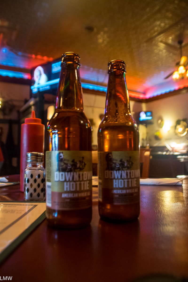
Would recommend the family style chicken you’ll get at Softails in Ladd, Ill. Excellent tavern style chicken and atmosphere. #TavernSunday
