J.W. Wells State Park
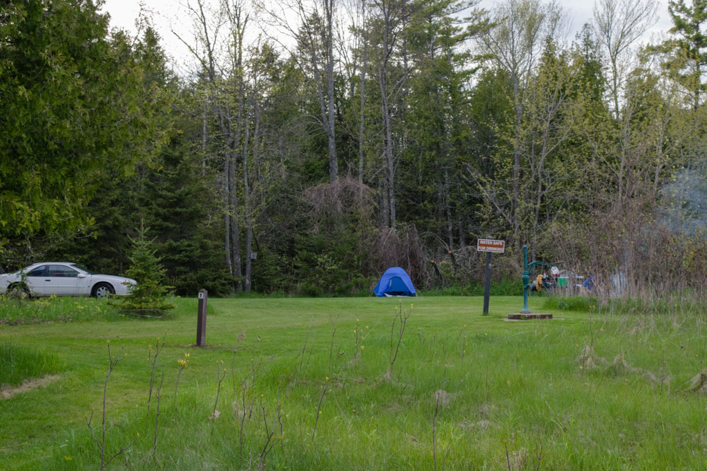
Where we stayed: Site 152, rustic, no electricity, drive-in, with a gorgeous view of Green Bay, sunny in the morning
Good for: Families, couples, RVs, car camping, cabins
Not great for: Backpacking, solitude
Pros: Views, campfires, great tasting water, clean vault toilet
Cons: Sites can be close together, which is only a bother if your neighbors are noisy
Website
Reservations
Day 1
The first leg of the trip took us from our apartment in Chicago to Wells State Park, in Michigan, just barely in the Upper Peninsula. The major purpose in planning this whole trip was to get some real unsupported backpacking experience, where we walk away from our car and we’re obligated by circumstance to care for ourselves. Neither of us had ever been to Pictured Rocks National Lakeshore, but it was only an 8 hour drive, it looked gorgeous and that early in the season it was unlikely to be overrun by other campers and hikers.
So, the thought process went, as long as it was going to be an 8 hour drive up I-43 then up further still to the top of the Upper Peninsula, we might as well break it into two days. Then, as long as we’re going to the top of the UP, we might as well come down the other side since it wouldn’t take more than a few hours longer and it sounded like fun. Maybe take an extra day or two in the mitten and meander your way back home. Ipso facto – that’s how you plan a Circle Tour.

So over five days we planned to camp all over Michigan including:
- Wells State Park, Site 152, facing Green Bay, water pump adjacent
- Pictured Rocks National Lakeshore, Sevenmile Creek campground
- Pictured Rocks National Lakeshore, Au Sable East campground
- Cheboygan State Park, Site 48, adjacent to Lake Huron
- Ludington State Park, Jackpines Site J
We took off from our apartment in Logan Square around 10 a.m. Friday morning. We planned to take a fairly leisurely drive north up to Wells. We did stop for provisions of cheese, beer, wine and sausage at the venerable Mars Cheese Castle. We had lunch at some tavern near Kohler, Wisconsin and we probably arrived at Wells around 6 p.m. with two and a half hours of daylight to burn.

The whole journey was a mix of car camping and backpacking and I think that was a great way for a couple of noobs to get acclimated. The campsite at Wells State Park had a sizable fire pit, Green Bay’s waters were smooth as glass that day, we were unable to see another soul from our site, the vault toilets were quite clean and drinking water was plentiful and easily available from the adjacent water pump. We put our tent down on a flat piece of grass probably only 20 feet from the lake.
Wells State Park was a make work camp created by the Civilian Conservation Corps during the Roosevelt administration, and you can still book one of the cabins they built if you so choose. The hand pump was very likely installed by the same team way back then. Last May when we were there it was simply covered with midges but if you’re not grossed out by that it’s fine. The water did not directly encounter any wildlife as it made its way from the pipe to my nalgene, so I wasn’t bothered. One thing I will say for the water at Wells State Park is that it tastes absolutely delicious. I grew up with well water, it tastes great to me. This particular well had a crisp mineral-y taste. I made sure to refill my bottle once more before we left in the morning and then I forgot about it until after we came back at the end of the Pictured Rocks leg of the excursion. Which was an excellent surprise that I left for me.
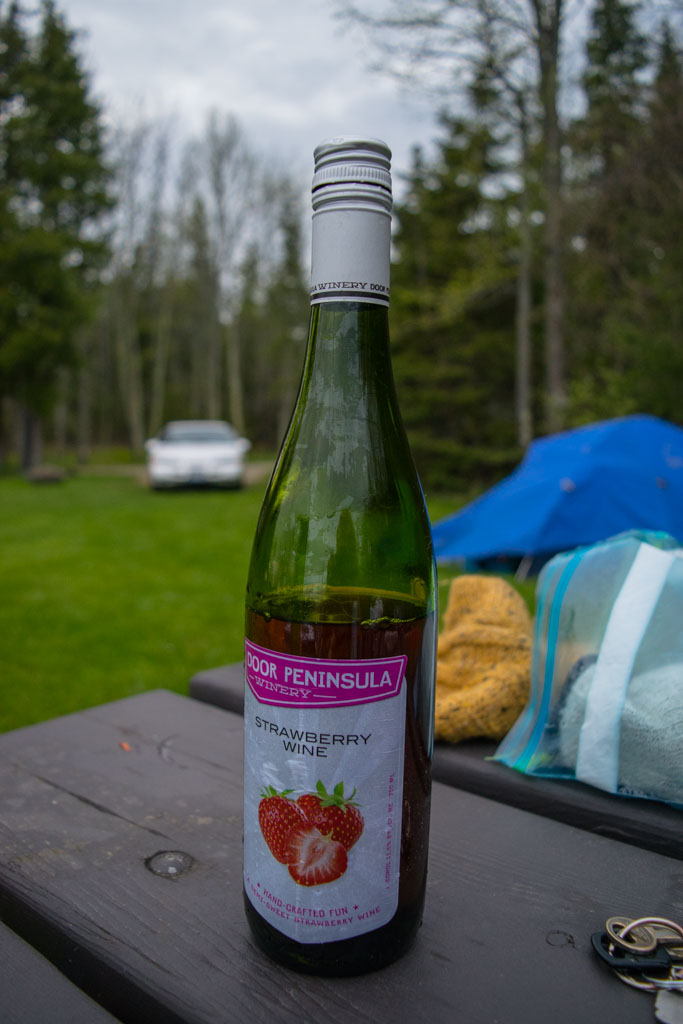
The first thing we did was set up camp. I assembled the tent while Dave built the fire. We had picked up a bottle of one of Wisconsin’s freshest strawberry wines at the Mars Cheese Castle. After the tent was assembled we tied one end of the string to the neck of the bottle and the other end to a rock. We then placed the bottle end into Green Bay and I wandered off to take pictures.

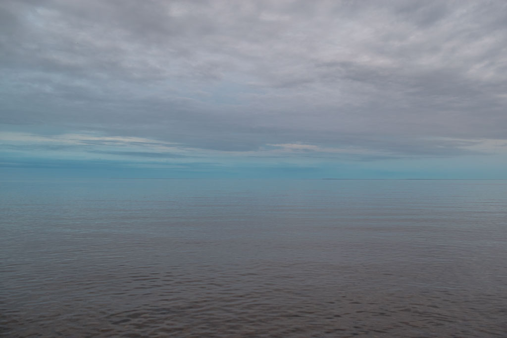
The skies were overcast that day, but the temperatures were warm enough and we weren’t in danger of any rain. The lake looked like an upside down version of Sky above Clouds IV by Georgia O’Keefe. Nature is amazing, you guys. I think at one point I probably sat on a rock in the lake near the shore, just staring at birds for the better part of an hour. Dave created firewood out of downed trees with a pocket saw. Before the sun set we pulled the lukewarm wine out of the lake and drank it from our cups. Why tin cups? Because camping is fun, that’s why.
I woke up early to see the sunrise the next morning. Having snapped a photo, I returned to the tent and snoozed until it was a more decent hour. That was probably a dumb idea, but whatever. We packed up camp, made coffee, assembled our backpacks so we wouldn’t have to do any additional futzing when we got to Pictured Rocks, cleaned our campsite, turned the keys in the ignition and … nothing happened.
The Thunderbird is a 23-year-old, reliable beast of a machine. I’d recently taken it for major maintenance including new tires, brakes, wheel balance and a whole bunch of fluid refreshers. The battery and the starter were both new. What the hell? A nice couple of retirees towing an RV behind their dually was kind enough to give us a jump. Once a pair of cables were attached to the battery it was pretty clear it wasn’t dead, it just needed help getting started. Either way, I had a 2 p.m. appointment at Twelvemile Creek (two and a half hours away) with a public shuttle service in Pictured Rocks, making this a problem for later. The car now in motion, we sped out of the park and were promptly pulled over by the Michigan State Police. Did I know the truck in front of me with the Illinois plates, he asked? No sir, I do not know that person. Okay here’s your voucher, get on your way, ma’am. Thank you, officer.
We were now in real danger of missing our appointment with Altran, the public shuttle service that operates within Pictured Rocks. Ensuring that I stayed within the legal limit for speeding, I engaged all eight cylinders and headed north across the Upper Peninsula of Michigan.
Click here for Day 2: Pictured Rocks National Lakeshore Twelvemile to Sevenmile Creek
[googlemaps https://www.google.com/maps/d/u/0/embed?mid=1P0XG06hXW1-P5of2kUHGmY9TebA&w=640&h=480]

