Pictured Rocks National Lakeshore
Where we stayed: Sevenmile Creek Campsite, we reserved site 10 but the campground was overbooked and none were available by the time we got there. We went rogue and stayed on an unsanctioned spot adjacent to Lake Superior.
Good for: Backpacking, solitude, long hikes, backcountry camping
Not great for: Families, car camping
Pros: Stunning scenery, excellent sunsets, very quiet, plentiful fresh water but you have to filter it out of Lake Superior
Cons: Overbooked campsite, group campfires rather than individual ones
Website
Reservations
Day 2
My eyes flashed periodically to the clock in my car as I tried not to careen too recklessly down the gravel roads leading to Pictured Rocks National Lakeshore. Dawdling while breaking down camp and a short visit with one of Michigan’s finest had left us in very real danger of missing our appointment with Altran, the public transit shuttle service that operated within the park.
We were probably 15 minutes late when we pulled into the parking lot for the Log Slide Overlook. Our driver was leaning against the bus, and nearing the end of his cigarette. If I know one thing about smokers, it’s that they’re super good at wasting time. I would bet an iron lung that cigarette saved our butts that day.
We had really only enough time to throw our bags into the van before the driver needed to get on the road. We were the only passengers he had that day, but he’s a retiree, he said, and when he’s done he gets to go home to that six pack he’s been working on. I, obviously, loved our shuttle driver.
It’s almost a 14 mile drive from the Log Slide Overlook to Twelvemile Creek, where we’d begin our hike for the day. From there, the plan was to walk to Sevenmile Creek and camp there for the night. It would be about a 4 mile walk from Twelvemile Creek to Sevenmile Creek, (don’t let the math fool you.) I thought this would be a good one because this was our first real night unsupported in the woods, I didn’t want to also have to walk ten miles or more in case for one reason or another this turned into a terrible idea (spoiler: this was a great idea.)

The weather was gorgeous that day, it was almost certainly the most sunshine we would see the whole trip. Considering how quickly the weather can turn on Lake Superior, this was a blessing. The trail is situated at the top of the dunes, probably 150-feet or so above the lake and the beach. I had seen Lake Superior when I was a kid, but this was my first time seeing it as an adult. I was stunned by how clear the water is. Lake Superior is so large and so clear that you can see an average of 27 feet deep throughout. It’s so large you can stare at the horizon all day but you’ll probably never see the other side (which is Canada from where we were standing.)
It was probably around 5 p.m. by the time we got to Sevenmile’s official campsite. This was Memorial Day weekend, so the campsite was full. We had reservations, which told us to look for campsite 10. We began asking around and learned we were not the only ones who thought we had booked campsite 10. Be aware, there may or may not be a campsite 10, but no matter what it was clear the campground was overbooked and Dave and I would need to find a place to lay down for the night outside of authorized spots. Honestly, we did okay. We wandered maybe 300 feet away from the main campsite and found a flat spot on an unauthorized trail, just above another unauthorized trail leading down to the beach. It had a large berm to our back, which helped protect us from the cold air off Lake Superior, and we could see the designated campfire through the trees but weren’t close enough to be bothered by it. We tried our best to set up camp so as not to be in anyone’s path, and most people were considerate enough to give a wide berth. So it worked out. We set up camp, grabbed our hand pump water filter and water bladders, and walked down to Sevenmile Creek itself. Dave and I took turns filtering probably a total of 12 liters of water by hand. Two 3-liter bladders for drinking and one 6-liter bladder for camp use (cleaning your dishes, teeth.)
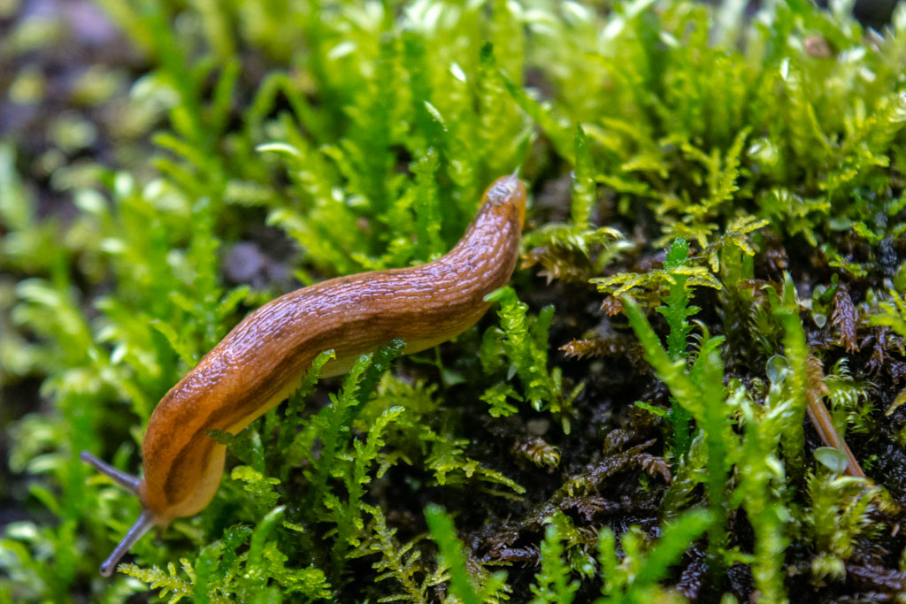
The flora and fauna creekside were very charming.

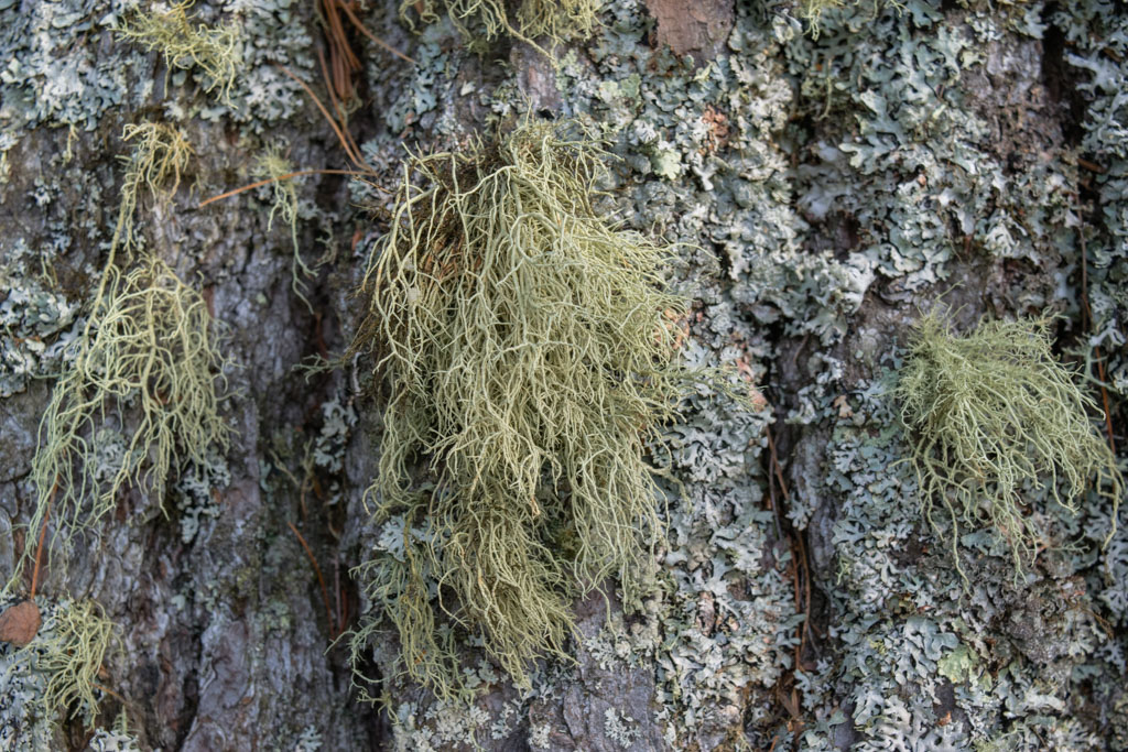
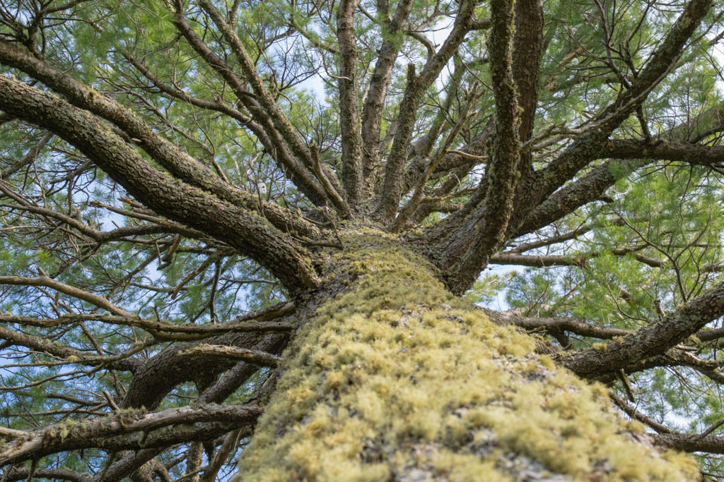
Once the camp chores were complete, I wandered off down the path just to see what I could see. I didn’t plan to be gone long, but I got distracted down the path. The view from on top of the berm was just stunning and I was having a bit of a love affair with the way these huge pines grow out of such sandy dirt and out of a dune that could very well wash away next year. Dave found me and became enamored with the mosses growing on the trees, but he’s got a thing for lichen.

After wandering back to the campsite we descended to the beach. Because we were camping at the spot where Sevenmile Creek empties into Lake Superior, I first put my hand into the creek water and thought “Oh, yeah. That is cold.” Then I put a finger into Lake Superior and pulled it out immediately because oh my god no. The lake was at least 15 degrees colder than the creek. To be fair, Lake Superior still had ice on it about a week before we got there. The Great Lakes are amazing, you guys.
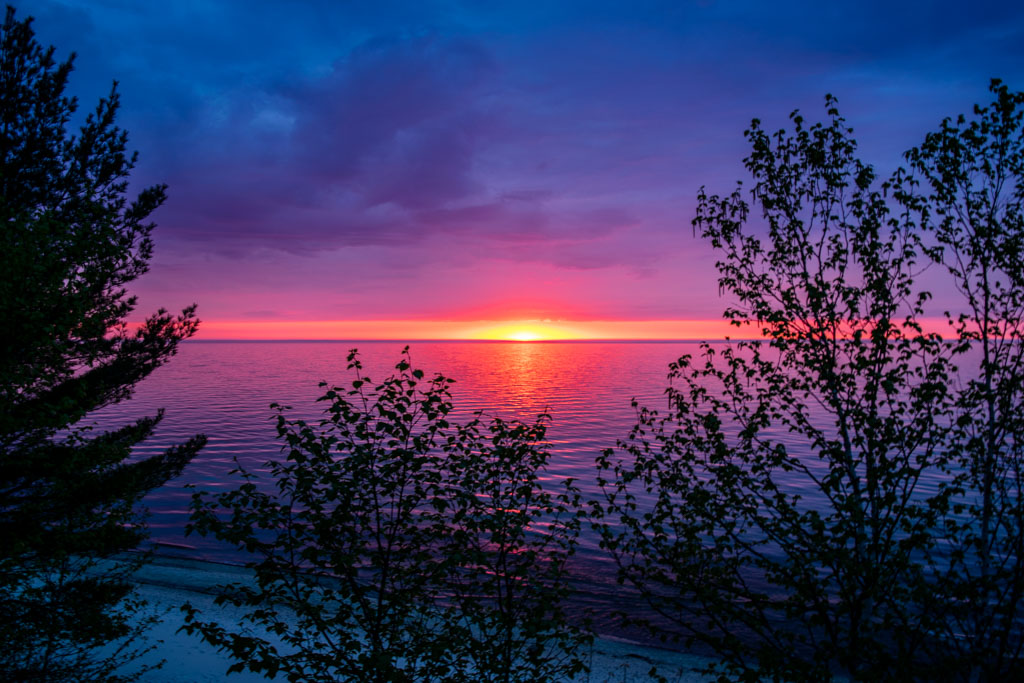
After walking around the beach and skipping rocks for a while we made our way back up to the campsite. Pictured Rocks has those really great, long Northern sunsets that last an hour or more and when you think it’s done suddenly there is a magnificent flash of vibrant red light before darkness comes quickly thereafter. This was possibly the longest, most beautiful sunset I had ever seen. Dave and I camped out to watch it on a patch of moss growing out of the dunes. They looked like they’d been worn down by previous butts watching the same sunsets. These were our moss thrones and they allowed us to survey the beach below, and the powerful lake in front of us. We finished off a small box of warm white wine from our moss thrones. I loved it very much and would happily return again any time.
Once the sun sets this far north there is no lingering light. We quickly made dinner and before we’d finished it we were sitting in complete darkness. We went to bed.

[googlemaps https://www.google.com/maps/d/u/0/embed?mid=1P0XG06hXW1-P5of2kUHGmY9TebA&w=640&h=480]

